North Sea Coast Road Trip: 7 Days Through Belgium, the Netherlands and Germany
A North Sea Coast road trip through Belgium, the Netherlands and Germany combines elegant seaside resorts, wide sandy beaches, historic ports, immense coastal defences and the tidal landscapes of the Wadden Sea. This 7-day itinerary follows the continental coastline from Ostend through the Netherlands to Wilhelmshaven and Cuxhaven in northern Germany.
The journey begins on the Belgian coast, where Ostend and Knokke-Heist offer grand seafront architecture, galleries, restaurants and polished promenades. In the Netherlands, the scenery opens into long beaches, dunes and estuaries, while engineering landmarks such as the Oosterscheldekering and Afsluitdijk reveal how profoundly Dutch history and daily life have been shaped by the sea.
Further north, the German North Sea coast becomes quieter and more natural, with historic harbours, grassy dikes, lighthouses and the UNESCO-listed Wadden Sea. At low tide, the water retreats across vast tidal flats, transforming the coastline within a matter of hours.
Each day offers a choice of attractions, scenic stops, restaurants and optional detours rather than a rigid schedule. Coastal distances can look short on a map, but estuaries, tunnels, bridges and slower seaside roads can extend driving times, so leaving room for spontaneous stops makes this route far more enjoyable.
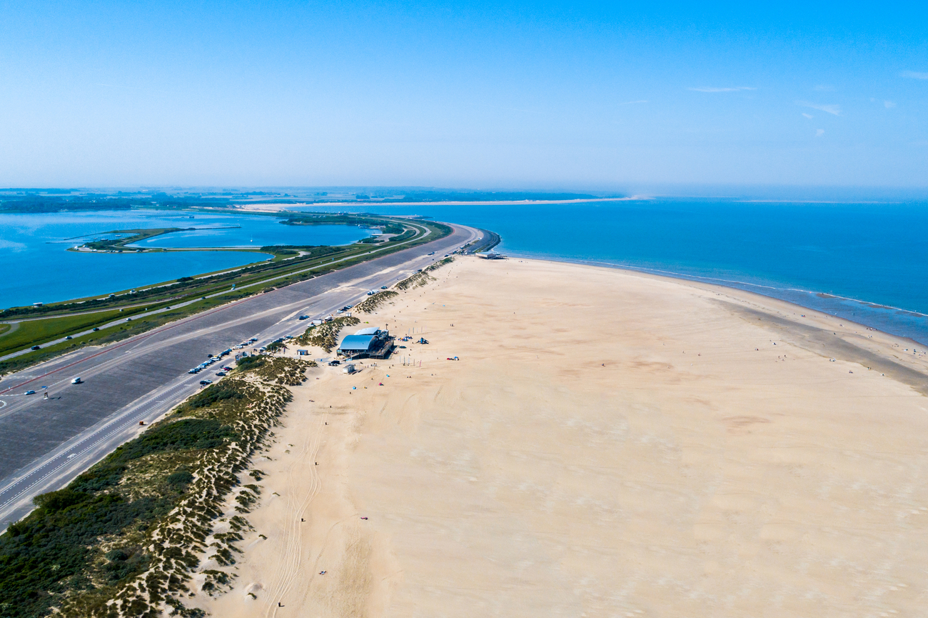
Day 1

Morning: Royal Galleries of Ostend
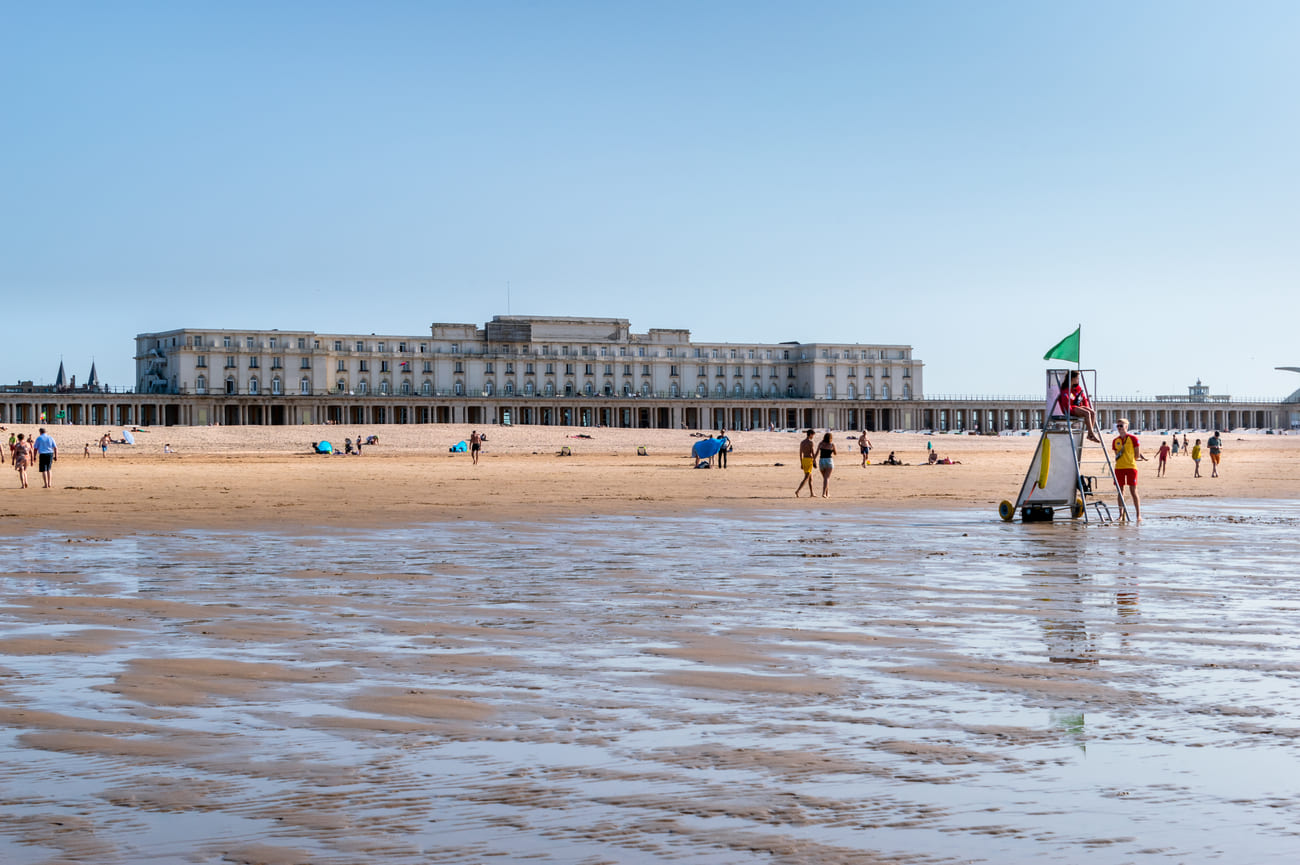
The Royal Galleries of Ostend are a long, covered seaside promenade facing the North Sea, making them a strong and convenient place to begin the tour. The pale stone columns, patterned flooring and open beach views give the area an elegant first impression without requiring a long visit.
Completed in 1905, the galleries were built to connect the former Royal Pavilion with the Wellington racetrack while protecting wealthy visitors from the sun and rain. Designed by French architect Charles Girault, the structure stretches for roughly 400 meters and features paired Doric columns, decorative flooring and small pavilion sections. The nearby Thermae Palace, added in the early 1930s, brings an Art Deco element to the surrounding architecture.
Mercator
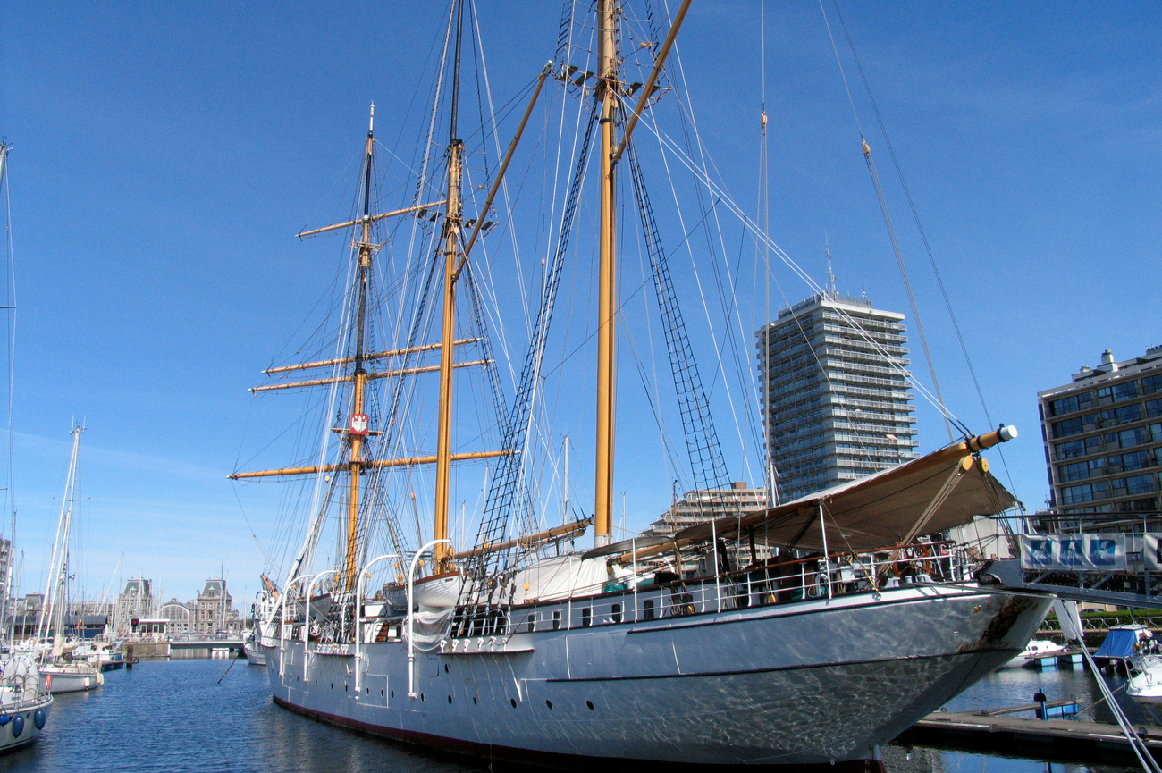
From the Royal Galleries of Ostend, head east toward the city marina for roughly 20 minutes on foot. The Mercator is easy to spot once you reach Jan Piersplein, with its three tall masts rising above the surrounding boats.
Commissioned in 1932, the Mercator served as a training ship for Belgian merchant marine officers and completed 41 voyages before retiring from active service. One of its best-known assignments came in 1936, when it transported the remains of Father Damien from Panama to Antwerp. The ship was built in Scotland and is now recognized as protected sailing heritage.
The interior remains remarkably complete, including the original cabin spaces, equipment and working areas used by officers and trainees. Expect narrow corridors, compact rooms and steep stairways rather than a polished modern museum layout. You are walking through a real working ship instead of a recreated exhibition, so the experience feels direct and authentic. You can also join guided tours lasting about 90 minutes in English, Dutch, French or German. Each guide can take up to 20 guests and advance requests are required.
Fort Napoleon
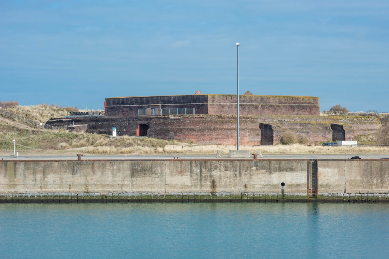
The quickest route from the Mercator uses Ostend’s free passenger ferry. Walk toward Visserskaai, cross the harbor to Maritiem Plein and continue through the Oosteroever district for about 15 minutes.
Napoleon Bonaparte ordered the creation of the fort to protect Ostend from a possible British attack that never happened. Its pentagonal structure later served several military purposes, including occupation by German forces during both world wars. Inside, you will find thick brick corridors, defensive chambers, a central courtyard, dry moats and rooftop views across the dunes and North Sea.
You can use an audio-guided route through the fort’s military and social history. But you can also arrange a private one-hour guided tour for a group of up to 20 people. The visit can be extended with a coastal walk toward the lighthouse, covering Ostend’s fishing industry, offshore wind farms and the redevelopment of Oosteroever.
Afternoon: Belgium Pier
Leaving Fort Napoleon, the route continues east along the Belgian coast toward Blankenberge. Belgium Pier is approximately a 25 to 30-minute drive away.
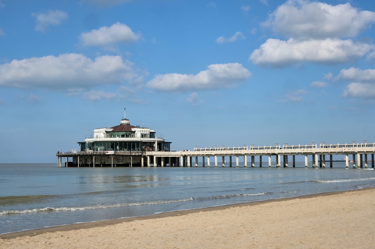
Belgium Pier stretches about 350 meters into the North Sea and remains the only traditional pleasure pier on the Flemish coast. The structure is divided into a broad entrance area, a long covered walkway and a circular pavilion at the far end, with an outdoor path wrapping around the building. Its clean concrete lines, curved details and geometric decoration reflect the Art Deco style that shaped much of Blankenberge during the early 20th century. Around 230 support piles hold the pier above the beach and tidal water below.
The original cast-iron pier was inaugurated in 1894 and became the first major pleasure pier on continental Europe. It attracted around 180,000 visitors during its opening year. The city rebuilt the pier between 1931 and 1933 using reinforced concrete, a practical choice for a structure constantly exposed to saltwater, wind and heavy tides. The current pier officially opened in July 1933 and reused parts of the original foundations. It has been protected as a historic monument since 2004.
Napoleon Casino Knokke
From Belgium Pier, continue northeast along the coast toward Knokke-Heist. The drive usually takes about 20 minutes, with the casino located directly on the seafront at Zeedijk-Albertstrand. The official name is Napoleon Casino Knokke, although it is also widely known as Grand Casino Knokke.
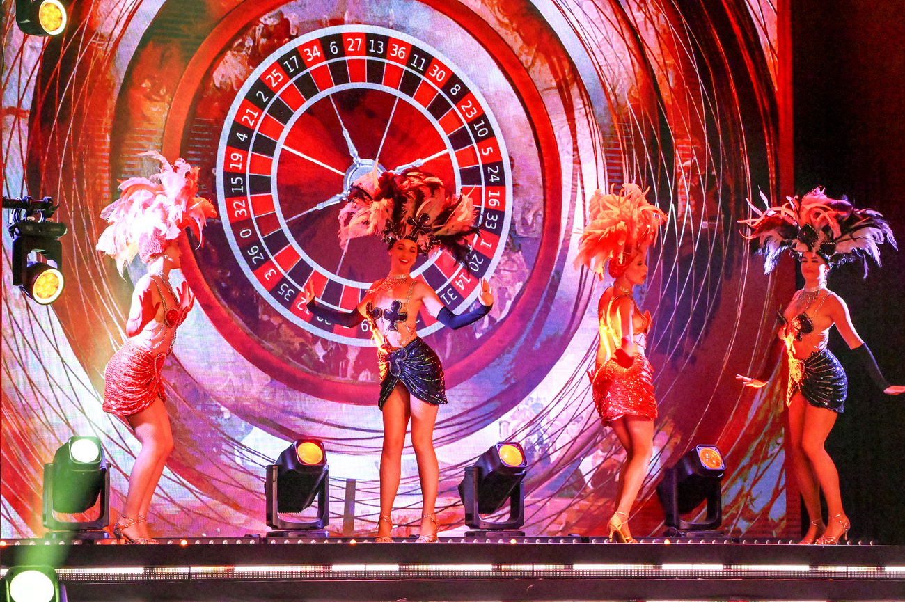
The casino opened in 1930 after businessman Jozef Nellens commissioned a public architecture competition for the project. Léon Stynen’s winning design became his first major modernist building and later helped establish his reputation as one of Belgium’s leading architects. The property was badly damaged during World War II, restored after the war and reopened in 1947. Performers such as Josephine Baker, Édith Piaf, Frank Sinatra, Nat King Cole and Jacques Brel have appeared here over the decades.
The interiors are more interesting than the fairly restrained exterior suggests. The Magritte Hall contains The Enchanted Domain, a panoramic mural created by René Magritte in 1953. Another major feature is the enormous Venetian-glass chandelier, measuring about 8.5 meters across and displayed in a hall reached by two sweeping staircases.
Lippenslaan
Instead of driving to the next stop, leave Napoleon Casino Knokke and continue toward central Knokke on foot. Lippenslaan runs inland between the seafront and Knokke railway station, making it an easy transition from the casino into the town’s main shopping district.
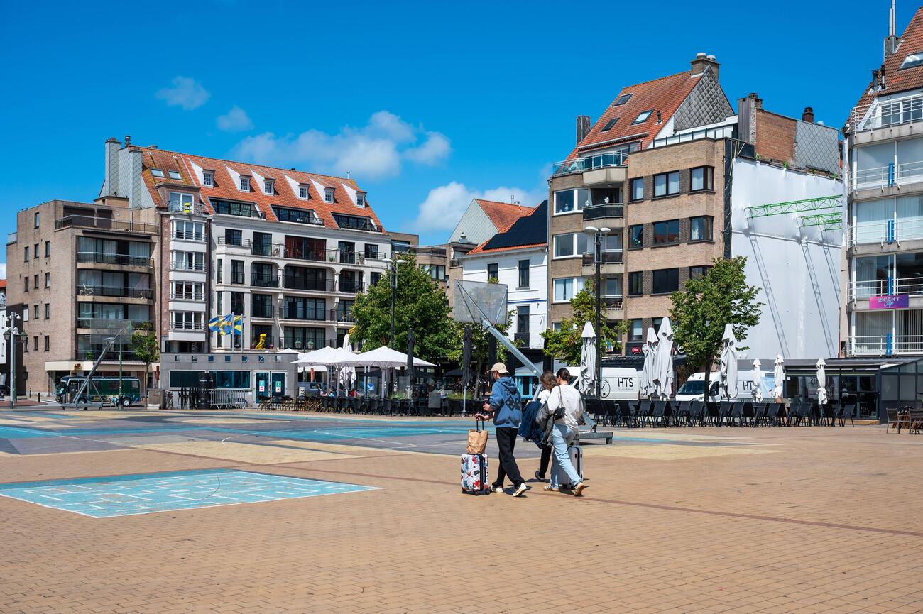
Lippenslaan began as a winding road connecting the old village with the beach. It was straightened and paved in 1869 under the name Zeeweg, then renamed Lippenslaan in 1894 in recognition of the Lippens family, who donated land for a public market square. Today, the wide avenue is lined with fashion stores, specialty shops, galleries, apartments and polished storefronts that give central Knokke its upscale but still walkable character.
The street forms part of Knokke-Heist’s “golden shopping triangle” together with Dumortierlaan and Kustlaan. Lippenslaan carries a broad mix of Belgian labels, international chains, independent boutiques, accessories and interior design stores, while the most exclusive designer names are concentrated farther toward Kustlaan. You can follow the avenue independently or use the free electric Shopping Shuttle.
Evening: Kustlaan
At the northern end of Lippenslaan, the route flows directly onto Kustlaan, so there is no transfer between the two stops. Continue walking parallel to the seafront as the busier commercial center gradually shifts into the more polished Het Zoute district. This section is calmer, more exclusive and better suited to focused luxury shopping.
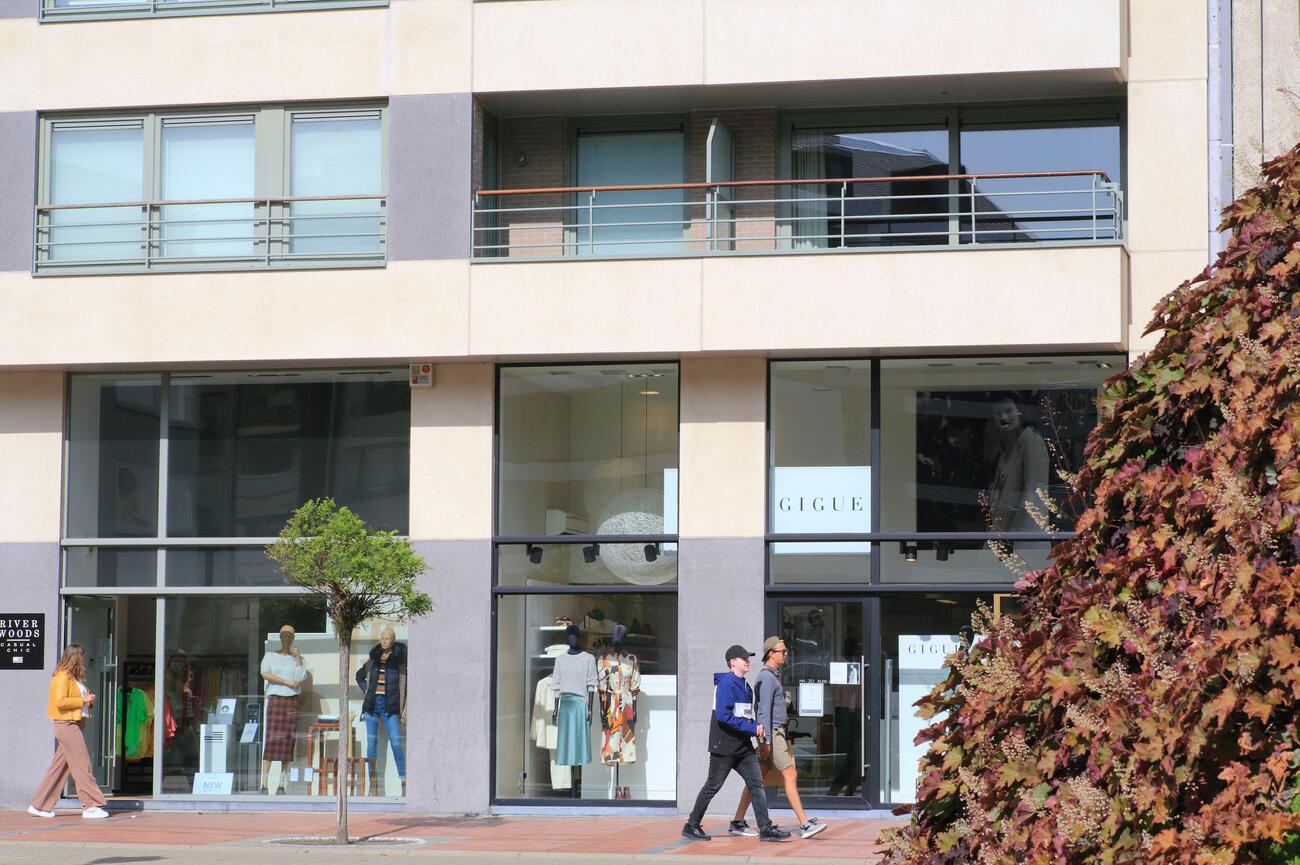
Kustlaan begins near Lippenslaan and continues through Het Zoute toward Zwinlaan. The Het Zoute section was developed between 1909 and 1910 as the seaside district expanded across the dunes. Most of the early Belle Époque buildings have disappeared, but several interwar properties and cottage-style villas remain between newer apartment buildings, galleries and retail spaces. Current stores along Kustlaan include fashion names such as Boggi Milano, Marina Rinaldi and Xandres, along with specialist boutiques and jewelers such as Marie-Claire Zoute and Baunat.
Zeedijk-Het Zoute
Kustlaan sits one street behind the waterfront and several short sloping lanes connect it directly with Zeedijk-Het Zoute. Turn toward the sea when you are ready to close the day, then follow the promenade east with the North Sea on your left. The transition takes only a few minutes, but the atmosphere changes immediately from luxury retail to open beach, evening light and a much slower pace.
Zeedijk-Het Zoute is the eastern extension of Knokke’s seafront promenade, running toward the quieter edge of the resort near the Zwin area. Formerly known as Leopolddijk, it developed as part of the coastal expansion that transformed Het Zoute from dune land into an exclusive residential district beginning in the early 1900s. The promenade is lined with upscale apartments, contemporary galleries and beach access points, while the wide stretch of sand keeps the setting from feeling overly built up.
This section of the seafront is also closely connected to Knokke’s art scene. Galleries along Zeedijk-Het Zoute include Guy Pieters Gallery, D’Haudrecy Art Gallery, Maruani Mercier and Kathart Gallery, where exhibitions range from established international names to contemporary interpretations of the North Sea. You get the strongest experience by keeping the final stop simple with selected gallery visits, a walk beside the water and enough time to enjoy the coastline after the daytime crowds begin to thin.
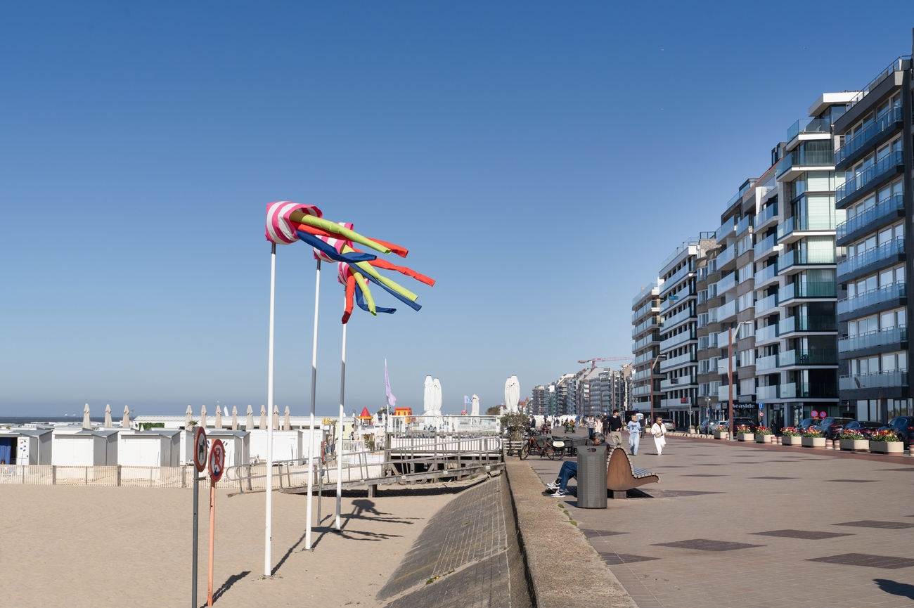
Day 1 - Ostend to Knokke-Heist Tour Map
Day 2
Morning: Zwin
Natuur Park
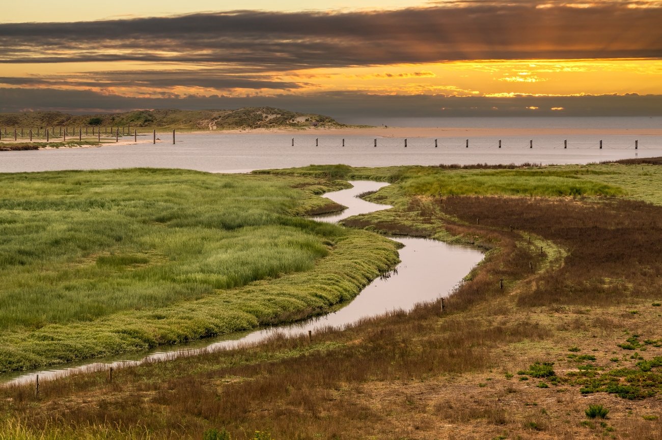
Zwin Nature Park sits along the Belgian-Dutch border in a tidal landscape shaped by salt marshes, dunes, mudflats and coastal channels. The wider Zwin was once an important sea inlet that connected medieval Bruges with the North Sea, but centuries of silting gradually transformed the waterway into the natural area seen today. Count Léon Lippens established the reserve in 1952, making it the first nature reserve in Flanders. The modern visitor park officially opened in 2016 after a major redevelopment.
The park is best known as a major stop for migratory birds, which is why it describes itself as an “international airport for birds.” Your admission includes the interactive bird-migration exhibition, the themed Cabin Trail, the observation center, the Zwin Plain and the Panorama Tower. The tower gives you a 360-degree view across the dunes, polders, reserve and North Sea, while the staffed cabins provide practical information about the birds currently passing through the area.
You can explore independently, join a scheduled walk or reserve a private Zwin guide. Private tours are offered in English, Dutch and French, with German available depending on the guide.
Strand Cadzand-Bad
Crossing into the Netherlands is the next move after Zwin Nature Park. Follow the road through Retranchement toward Cadzand-Bad, then continue to the beach entrances near Boulevard de Wielingen for 15 minutes.
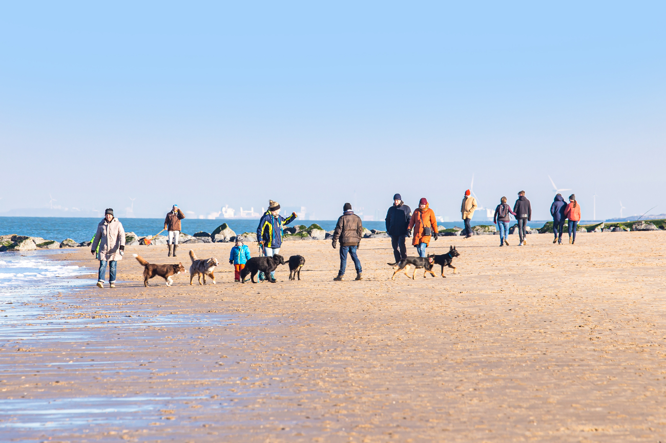
Strand Cadzand-Bad is the main beach of the Netherlands’ southernmost seaside resort. It forms part of an approximately 11-kilometer stretch of sandy coastline backed by broad dunes, with the Zwin nature reserve beginning at its southwestern edge. This is also officially recognized as a seaside health resort because of its coastal climate, seawater and natural surroundings.
One of the beach’s most distinctive activities is searching for fossilized shark teeth among the shells and darker pieces of stone. New material is regularly exposed as the tides shift the sand, and your chances are generally better around low tide. Swimming, long beach walks and water sports are also popular, but the North Sea can be cold and windy even during summer, so bring an extra layer instead of trusting the sunshine. You can reserve a private RIB trip from the nearby Cadzand-Bad Marina or join private and small-group coastal cruises, high-speed North Sea rides and seal-spotting trips.
Afternoon: Verdronken Zwarte Polder
After leaving Cadzand-Bad, the route shifts away from the modern marina and passes through open farmland. The drive to Verdronken Zwarte Polder takes 10-15 minutes.
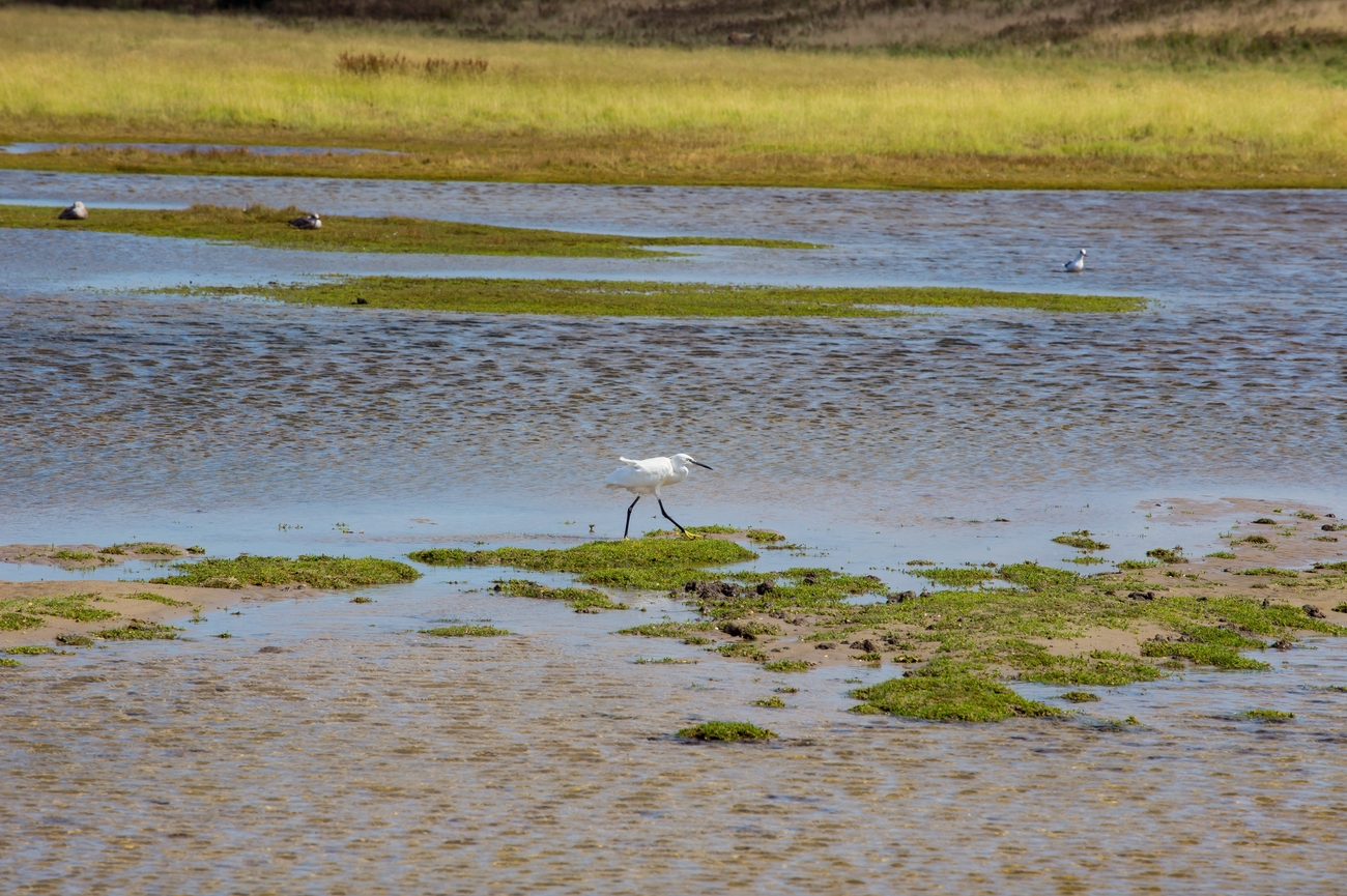
The name translates to the “Drowned Black Polder” and the history is literal. The original Zwarte Polder was reclaimed from the sea in 1623, but a storm surge broke through its dike in 1802 and returned much of the land to the water. The sea still enters through a channel at high tide, shaping the mudflats, salt marshes, freshwater pools and dunes. More than 200 wild plant species grow across the changing mix of sandy, clay, saltwater and freshwater environments. The reserve is also one of the recognized geosites within UNESCO Global Geopark Schelde Delta.
A marked walking route of about 3 kilometers starts near the boardwalk below the dike. It passes a tidal creek, sheep-grazing areas, bird-rich pools, winding dune trails and a higher viewpoint overlooking the coast. Het Zeeuwse Landschap organizes guided excursions, including a two-hour seasonal walk through the beach, dunes, salt marsh and scrubland. You can also request a customized group excursion with an experienced guide.
Breskens Lighthouse
From Verdronken Zwarte Polder, allow 15 minutes by car to reach the lighthouse at Panoramaweg 1. Its black-and-white tower becomes visible well before arrival.
Officially called Nieuwe Sluis Lighthouse, the structure was built between 1866 and 1867 and entered service in 1868. Dutch architect Quirinus Harder designed the octagonal tower to guide vessels entering the Western Scheldt, an important shipping route connecting the North Sea with Antwerp. At 28.4 meters tall, it has five levels and remains the oldest surviving cast-iron lighthouse in the Netherlands.
The lighthouse was decommissioned in 2011 after more than a century of maritime service. Deterioration became a serious concern, but a local foundation helped restore the protected national monument in 2015 and reopened it to visitors. You will be rewarded with a broad view across the beach, dunes, Western Scheldt and passing commercial vessels.
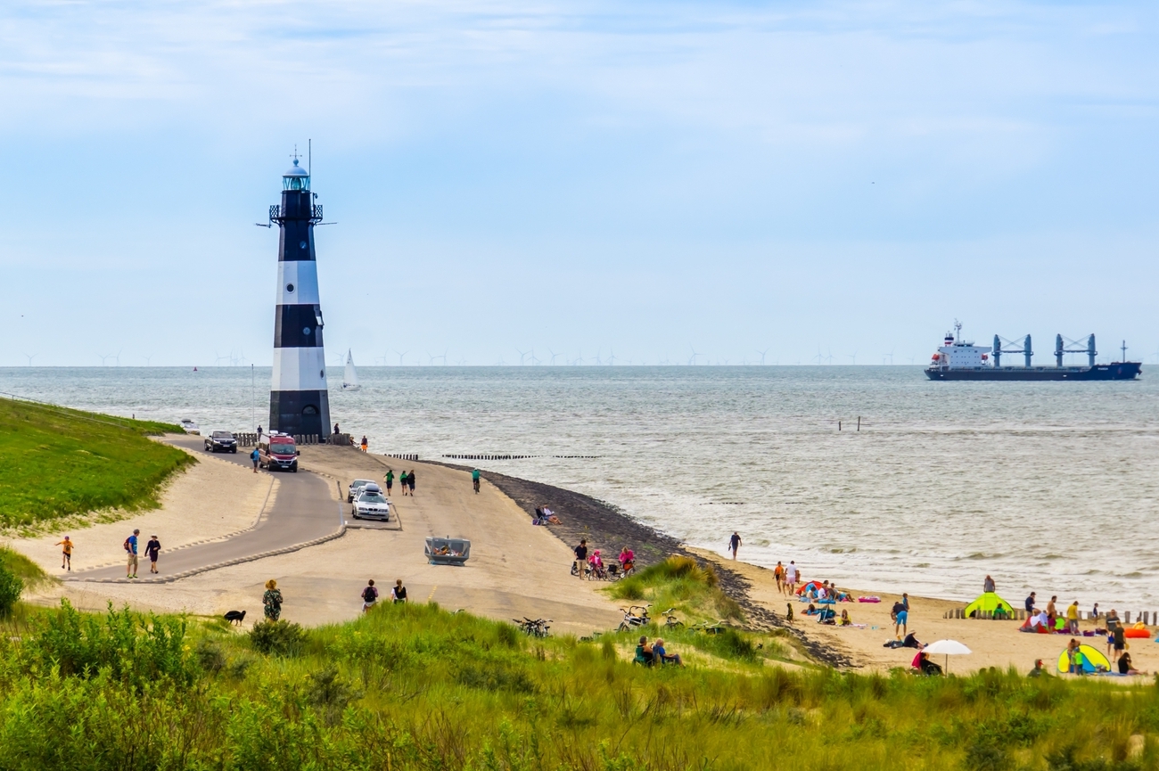
Strand Zoutelande
Reaching Zoutelande requires crossing the Western Scheldt, making this the longest transfer of the afternoon. The passenger ferry from Breskens to Vlissingen takes approximately 20-23 minutes, followed by a 15-minute drive to the beach.
Strand Zoutelande is a five-kilometer beach along the southwestern coast of Walcheren. Unlike most beaches in the Netherlands, it faces south, giving it more protection from strong northern winds and plenty of afternoon sunlight. The coastline is backed by some of the highest dunes in Zeeland, with sections rising to approximately 46 meters. From the elevated dune paths, you can see across the beach, the Western Scheldt and the large cargo ships traveling toward Antwerp.
The beach has received Blue Flag recognition for clean water, safety and visitor facilities. The broad sand and high dunes give the area a more open, natural look than the built-up Belgian resorts visited earlier in the itinerary.
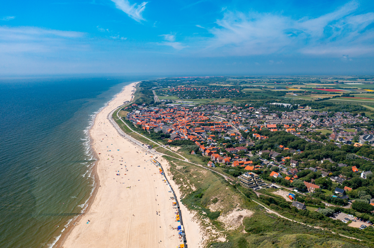
Evening:
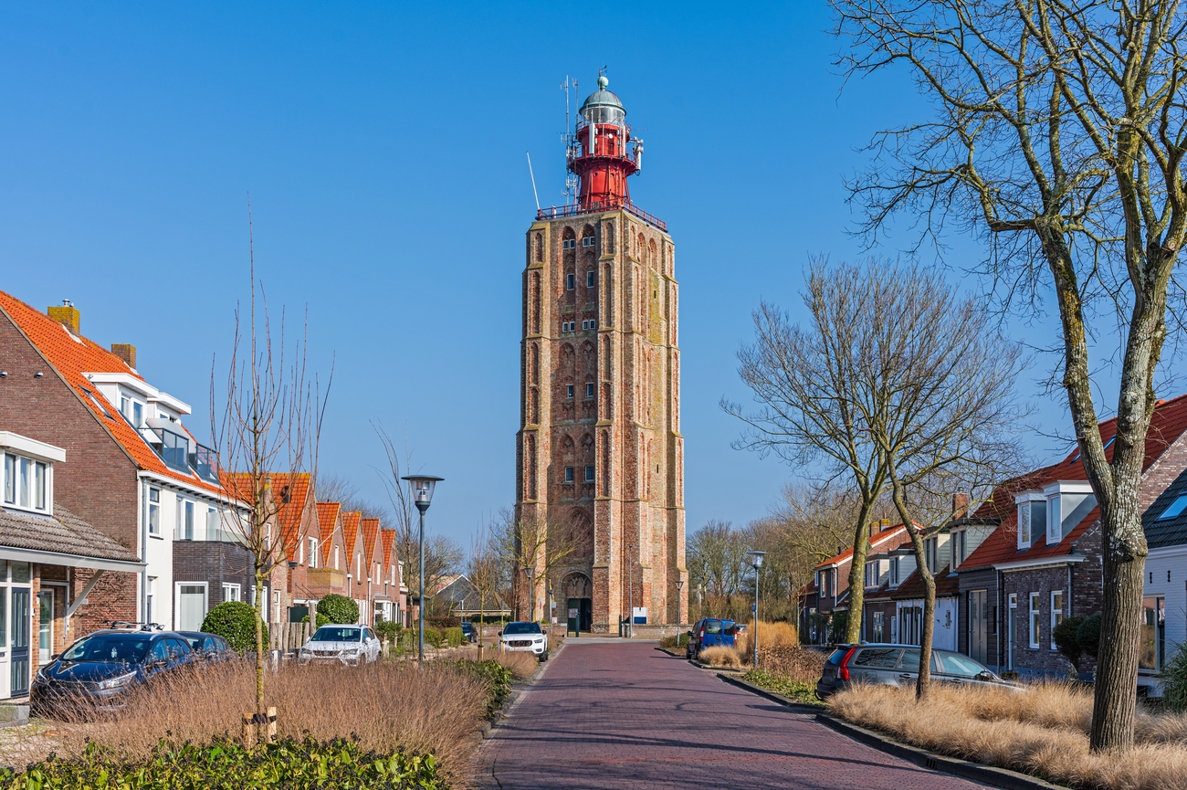
Lighthouse ’t Hoge Licht
The itinerary returns to lighthouse territory for another coastal landmark, this time in Westkapelle. From Strand Zoutelande, allow approximately 10 minutes by car to reach Lighthouse ’t Hoge Licht. Unlike Breskens Lighthouse, this tower stands within the village instead of directly beside the beach.
Also known as Westkapelle Hoog or Zuiderhoofd, the 53-meter tower was originally part of the medieval Sint Willibrordus Church, built between 1458 and 1470. A fire destroyed most of the church in the 18th century, but the brick tower survived. A light was installed at the top in 1818, transforming the former church tower into an active navigational landmark for ships approaching the Walcheren coast. You can climb the tower’s narrow stairways to reach the viewing platform. Small exhibits on different levels explain the daily work of former lighthouse keepers, while the top provides broad views across Westkapelle, Walcheren, the North Sea and the offshore wind turbines. On a clear evening, you may also see the coastline of Zeelandic Flanders in the distance.
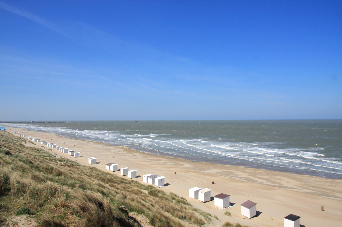
Strand Domburg
A 15-minute drive east from Lighthouse ’t Hoge Licht brings you to Domburg, following the Walcheren coast past farmland, dunes and occasional North Sea views. Strand Domburg is a broad, clean stretch of sand backed by high dunes and traditional striped beach cabins.
Domburg is one of Zeeland’s oldest seaside resorts and has attracted coastal visitors since the 19th century. It later became an artists’ colony, drawing painters such as Piet Mondrian and Jan Toorop, who were interested in the area’s clear skies, reflective water and shifting coastal light. The town was officially recognized as a health resort in 2013 because of its maritime climate, seawater and natural surroundings. You can keep the visit simple with a self-guided walk along the shoreline or follow part of the coastal route between the beach and the dune ridge.
Day 2 - Knokke-Heist to Domburg Tour Map
Day 3
Morning: De Manteling van Walcheren
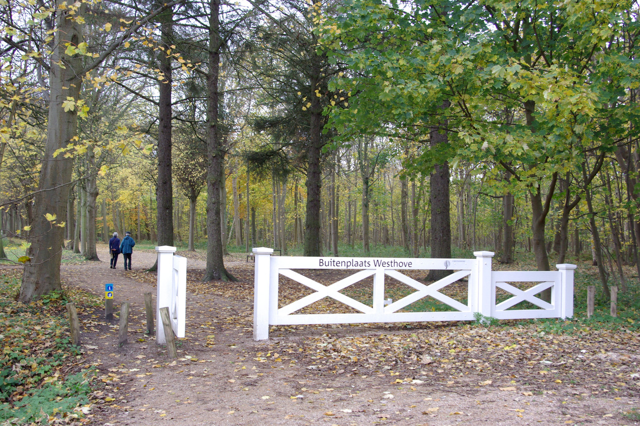
De Manteling van Walcheren is a narrow coastal nature reserve stretching between Domburg and the Veerse Gatdam. Its name refers to the way the woodland acts like a protective cloak against strong sea winds. It is one of the few places in Europe where deciduous forest grows this close to the coast, and many of the trees have developed low, twisted shapes after years of exposure to salt and wind. The landscape combines dunes, oak and beech woodland, ponds, formal avenues and the remains of historic country estates. From the 17th through the 19th centuries, wealthy families from Middelburg used this area as a summer retreat, which explains the stately lanes, rhododendrons and estate-style gardens hidden among the forest paths.
Several marked walking routes begin near Terra Maris. The white route covers 2.4 kilometers, while the paved 2.2-kilometer Family Trail is suitable for strollers, mobility scooters and visitors who prefer an easier surface. You can join excursions through De Manteling with trained nature guides, covering subjects such as wildlife tracks, coastal ecology, seasonal plants and the transition from woodland to beach.
Eastern Scheldt Storm Surge Barrier
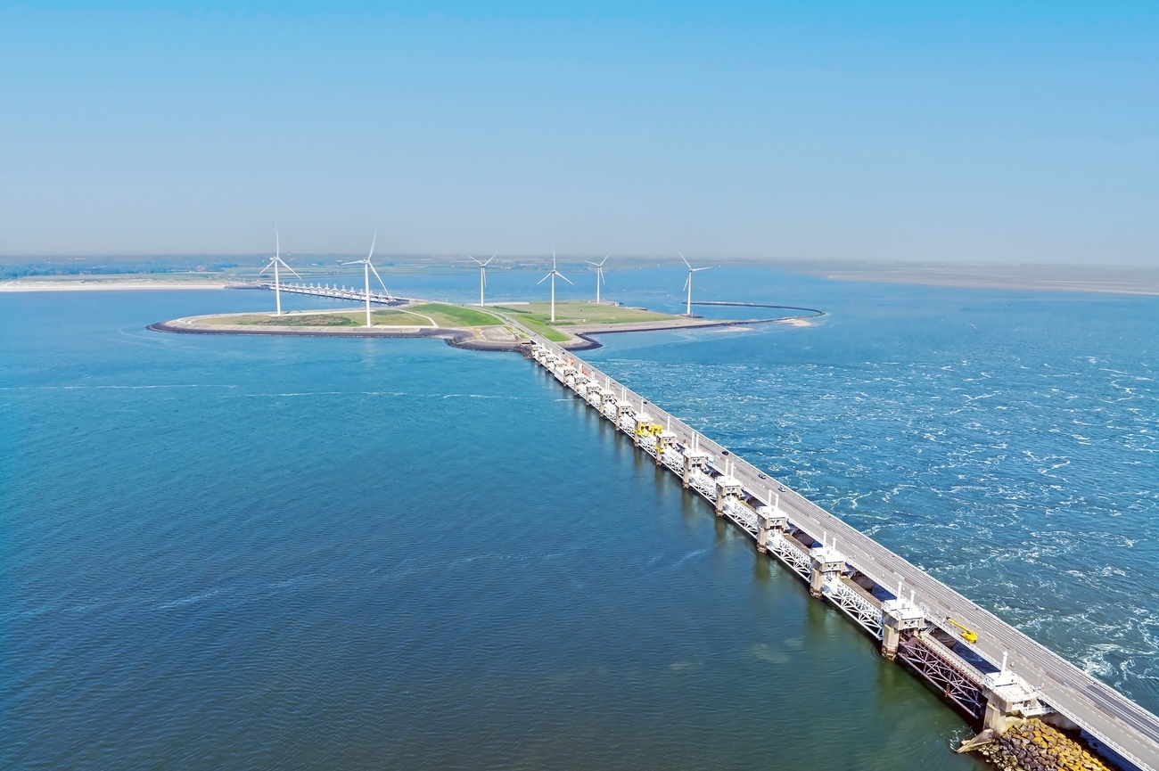
Swap the wooded paths of De Manteling van Walcheren for one of Zeeland’s most important coastal roads. The drive to the Eastern Scheldt Storm Surge Barrier takes 25-30 minutes. You will be directly on the barrier, with the North Sea on one side and the Eastern Scheldt estuary on the other.
Known locally as the Oosterscheldekering, the barrier is the largest and most complex structure within the Dutch Delta Works. It was built between 1976 and 1986 following the devastating North Sea flood of 1953. The entire structure stretches for nine kilometers, with three kilometers made up of movable sections supported by 65 concrete piers and 62 steel floodgates. When dangerously high water is expected, the gates can be lowered in approximately 75 minutes.
The original plan called for a completely closed dam, but that design would have damaged the fishing industry and the Eastern Scheldt’s saltwater ecosystem. Engineers instead created an open barrier that allows tides and seawater to continue moving through the estuary during normal conditions. This balance between flood protection and environmental preservation is what makes the structure more interesting than a standard sea wall. And if you want a closer look, you can join a guided exterior tour focused on the structure and the force of the sea, along with exhibitions and films explaining its construction.
Afternoon: Strand Burgh Haamstede
Once you reach the northern end of the Eastern Scheldt Storm Surge Barrier, the beach is close. Continue toward Westenschouwen for approximately 15 minutes by car, then use the main access near Kraaijensteinweg and beach entrance De Rotonde.
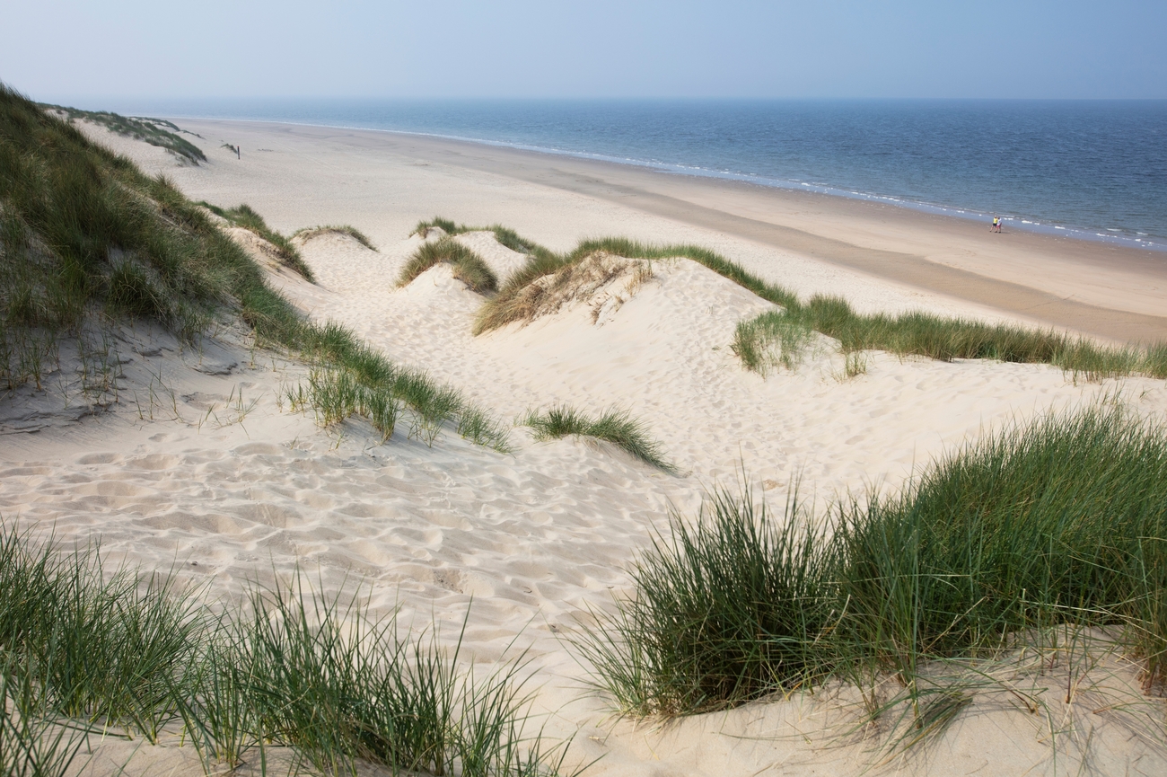
Strand Burgh-Haamstede forms part of an approximately 11-kilometer coastline extending from the storm surge barrier toward the sandbanks north of the village. This section is wider and more natural than many of Zeeland’s resort beaches, with tall dunes, open sand and fewer buildings interrupting the view. The coastline sits beside Boswachterij Westerschouwen, the largest forest in Zeeland, creating a rare combination of beach, dunes and woodland within one compact area. You can keep the stop efficient with a walk along the water or extend it into the surrounding dunes.
West Schouwen Lighthouse
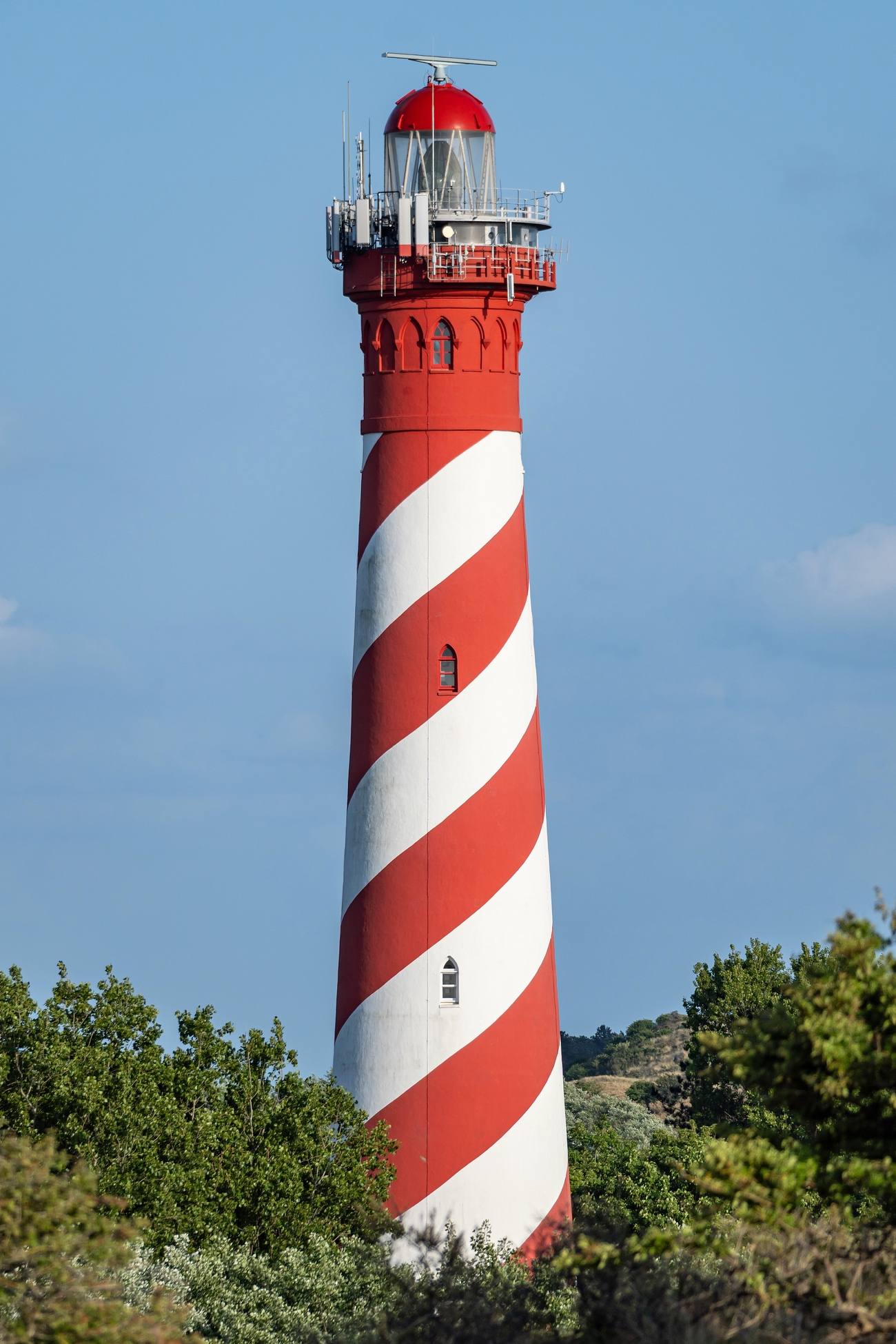
This is another lighthouse stop, but the setting and design are completely different from the earlier towers. From Strand Burgh-Haamstede, turn inland through Nieuw-Haamstede and take a 15-minute drive to reach West Schouwen Lighthouse. It stands among the dunes rather than directly on the waterfront and its red-and-white spiral is visible well before you reach the surrounding road.
Officially named Wester-Schouwen and commonly called the Westerlichttoren, the lighthouse was designed by Leendert Valk and built in 1837. It rises approximately 53 meters above the ground, with its light positioned 58 meters above sea level, making it one of the tallest lighthouses in the Netherlands. The light can be seen from around 30 nautical miles away, while the thick brick walls at the base measure approximately 2.5 meters. Its distinctive spiral pattern was added to improve visibility for aircraft and later inspired the design of the former Dutch 250-guilder banknote.
The tower remains an active navigational structure and is not open to the public, so there are no regular interior tours, viewing-platform visits or private climbs. You can still view and photograph it from the surrounding public areas. A short walk through the nearby beach gives you a better look at how the tower sits within the dunes and coastal landscape.
Renesse Strand
From West Schouwen Lighthouse, continue northeast through the dune landscape toward Renesse. The drive takes approximately 10-15 minutes.
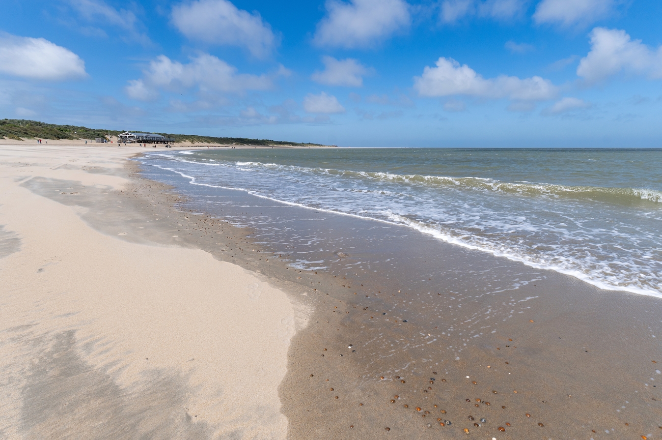
Renesse has roughly 17 kilometers of beach, divided into family areas, water sports sections and quieter natural stretches. Jan van Renesseweg is one of the livelier and more accessible entrances, with restrooms, showers, first-aid facilities and a wheelchair-friendly route. It is also one of the better places on this route for spotting seals without boarding a boat. They are often visible on offshore sandbanks, particularly during the two hours before and after high tide. You should bring binoculars and keep a respectful distance if one comes closer to shore.
Brouwersdam
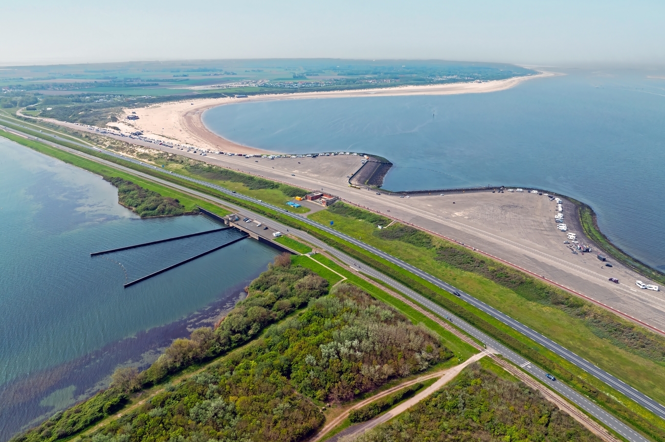
The route continues northeast, where you will reach Brouwersdam in approximately 15 minutes by car. As the road rises onto the dam, the open North Sea appears on one side while the calmer Grevelingenmeer stretches along the other.
Brouwersdam is a 6.5-kilometer dam connecting Schouwen-Duiveland with Goeree-Overflakkee. Completed in 1971, it became the seventh major structure of the Delta Works, the flood-protection system developed after the disastrous North Sea flood of 1953. Closing the former Brouwershavense Gat created the Grevelingenmeer, now the largest saltwater lake in Western Europe.
The contrast between both sides is what makes the stop interesting. The North Sea side has broad beaches, waves and strong winds, while the Grevelingen side offers flatter, more protected water. You can walk along the beach, watch kite surfers and windsurfers or stop at one of the viewing areas to see how the dam separates two completely different coastal environments.
Evening: Vuurtoren Westhoofd
Set your route toward Groenedijk in Ouddorp, where Vuurtoren Westhoofd sits 15 minutes by car from Brouwersdam. The drive moves away from the dam and into a quieter landscape of open fields, dunes and narrow coastal roads.
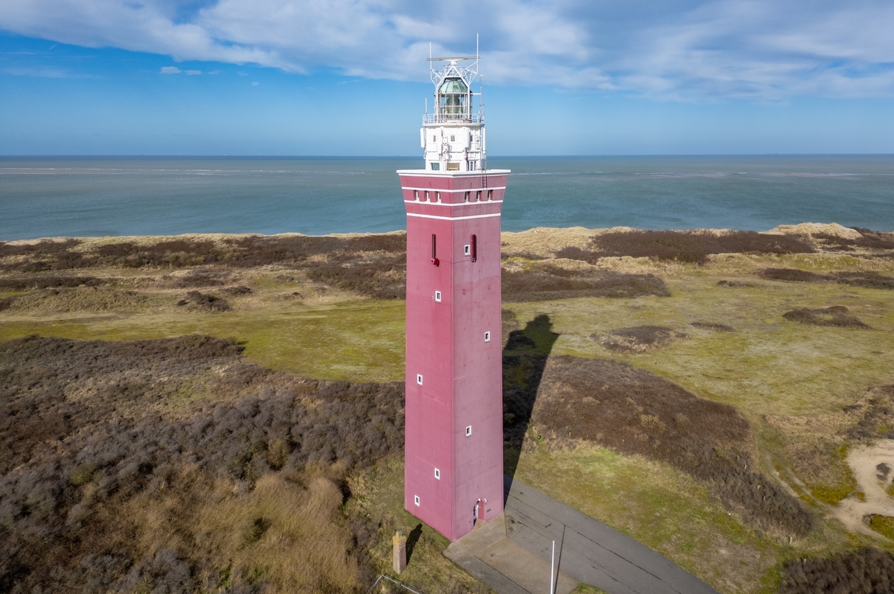
There aren't enough lighthouses in the Netherlands, but Vuurtoren Westhoofd has a heavier, more modern appearance than the historic towers seen earlier in the itinerary. Architect G.W. Friedhoff designed the square brick-and-concrete structure, which was built between 1947 and 1948. It replaced a 1911 lighthouse that German forces destroyed on May 4, 1945, with rubble from the former tower later used to strengthen the new access road. The current lighthouse rises approximately 52 meters, while its light sits 56 meters above sea level and can be seen from about 30 nautical miles away. It remains an active navigational lighthouse. There are no dependable daily tour times or regular climbing hours, so you should plan this primarily as an exterior visit unless special access has been confirmed in advance. Oh, and the surrounding dunes and nearby Westhoofdvallei still provide several good angles for viewing the tower and its coastal setting.
Day 3 - Domburg to Ouddorp Tour Map
Day 4
Morning: Kwade Hoek
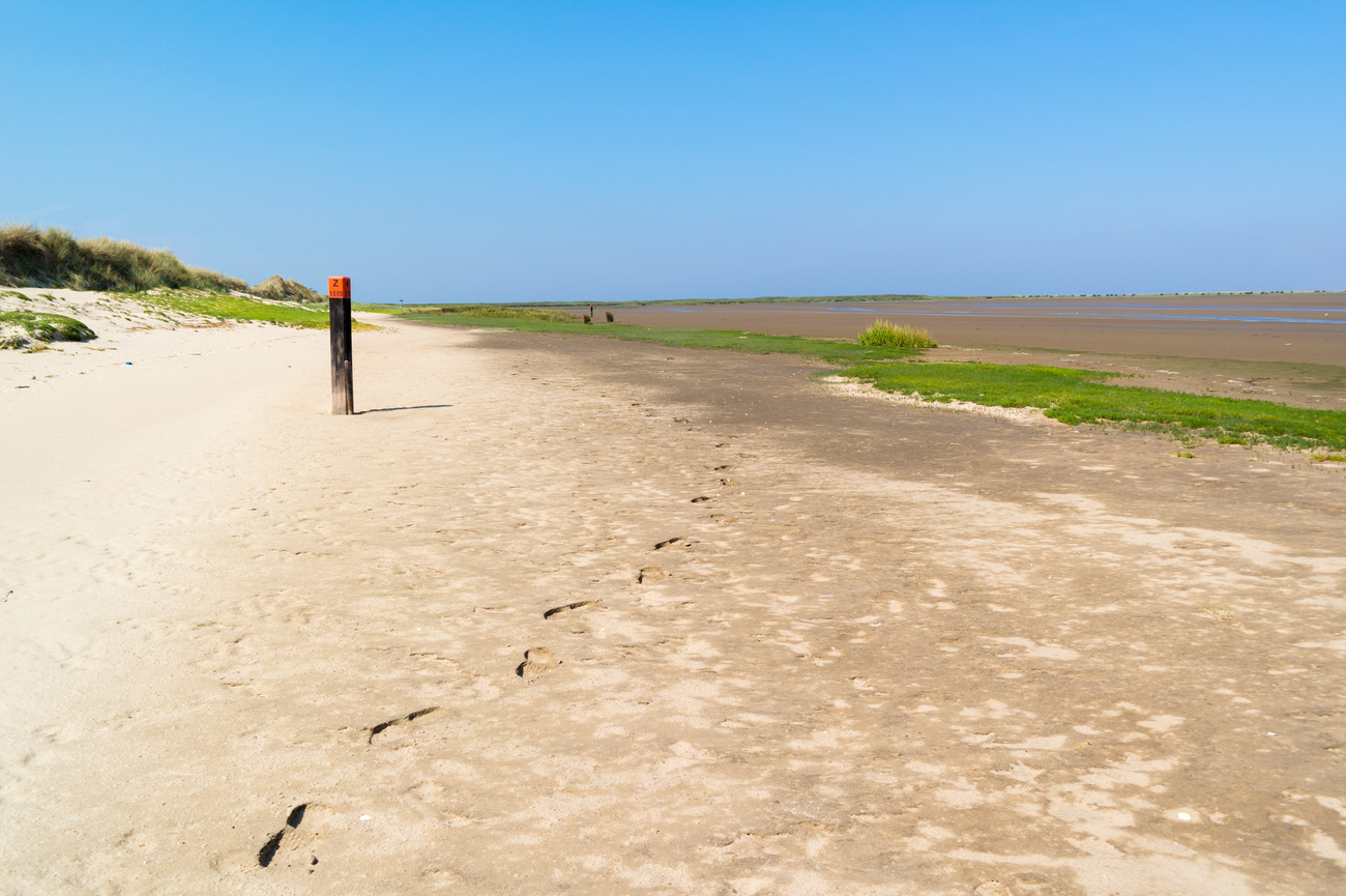
Kwade Hoek is an undeveloped tidal nature reserve within the Duinen van Goeree, positioned outside the main coastal dikes. Saltwater can move through its channels during high tides and storms, while wind continues to shift the sand and create new dunes. The name translates roughly to “Bad Corner,” referring to the dangerous sandbanks where ships historically became stranded, especially during rough weather. It combines broad beaches, salt marshes, muddy creeks, wet dune valleys and low scrub. Nearly 300 plant species have been recorded here, including orchids, while the marshes and shallow pools support birds such as northern lapwings, Eurasian oystercatchers, avocets and skylarks.
There is a walking route that covers 4.27 kilometers and takes approximately one hour and 25 minutes. It follows unpaved trails and wooden boardwalks past a viewpoint, old tidal creeks and protected breeding areas. You can complete the first section to the viewpoint and return rather than walking the entire loop.
Maasvlaktestrand
The scenery changes sharply after Kwade Hoek. It will take a 30-minute drive to reach Maasvlaktestrand, crossing Goeree-Overflakkee and Voorne-Putten before entering the industrial landscape of the Port of Rotterdam.
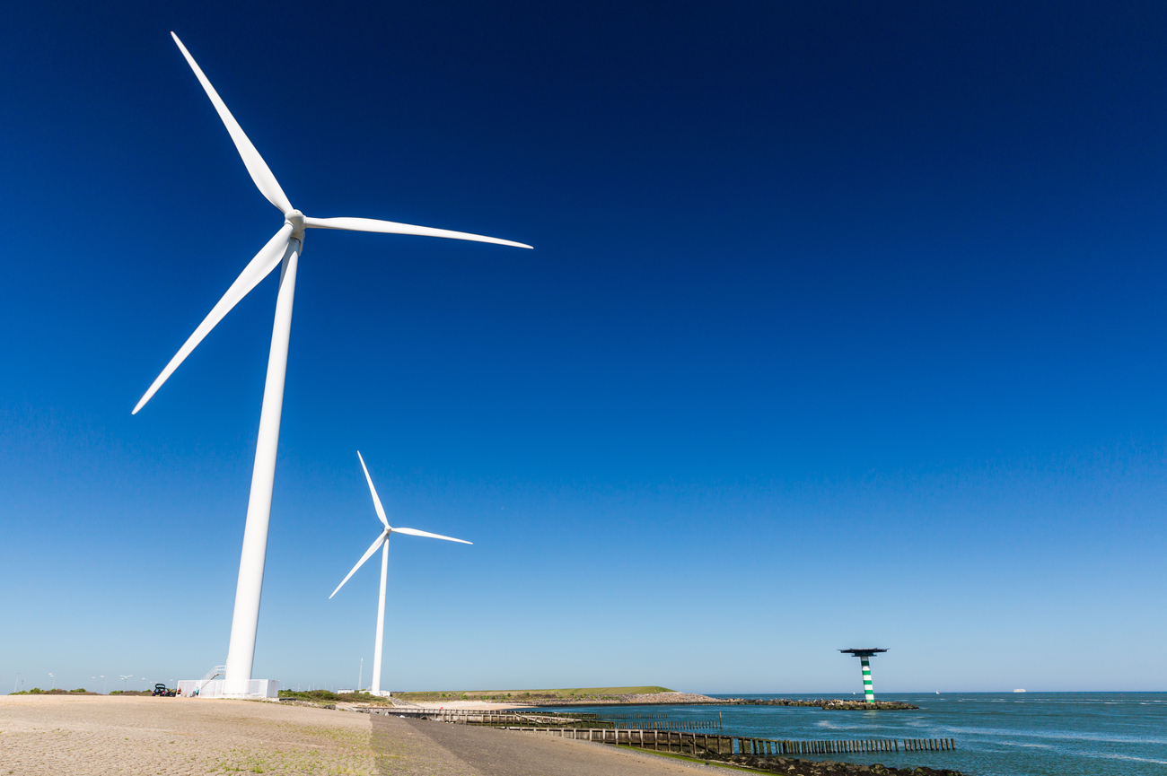
Maasvlaktestrand is a broad, man-made beach created along the western edge of Maasvlakte 2, the newest expansion of the Port of Rotterdam. The beach and its dunes serve two purposes: they provide public access to the North Sea while helping protect the reclaimed port land behind them. One direction gives you open water and sand, while the other reveals wind turbines, cranes, container terminals and some of the world’s largest commercial ships.
The beach is divided into practical zones. Parking areas P1 to P3 provide access to the main swimming and sunbathing sections, while P5 and P6 are better suited to kite surfing and other wind-based sports. A rescue post operates between P2 and P3 during the active season and the area north of P1 includes a designated naturist section. The coast is exposed, so even a bright day can come with strong wind and cooler temperatures.
You can explore independently or follow the free Maasvlaktestrand discovery route beginning near P3. The route introduces the beach’s dunes, wildlife and nearby port industries.
Portlantis
Portlantis sits on the same outer edge of Maasvlakte 2 as Maasvlaktestrand, making this a quick 5 to 10-minute drive.
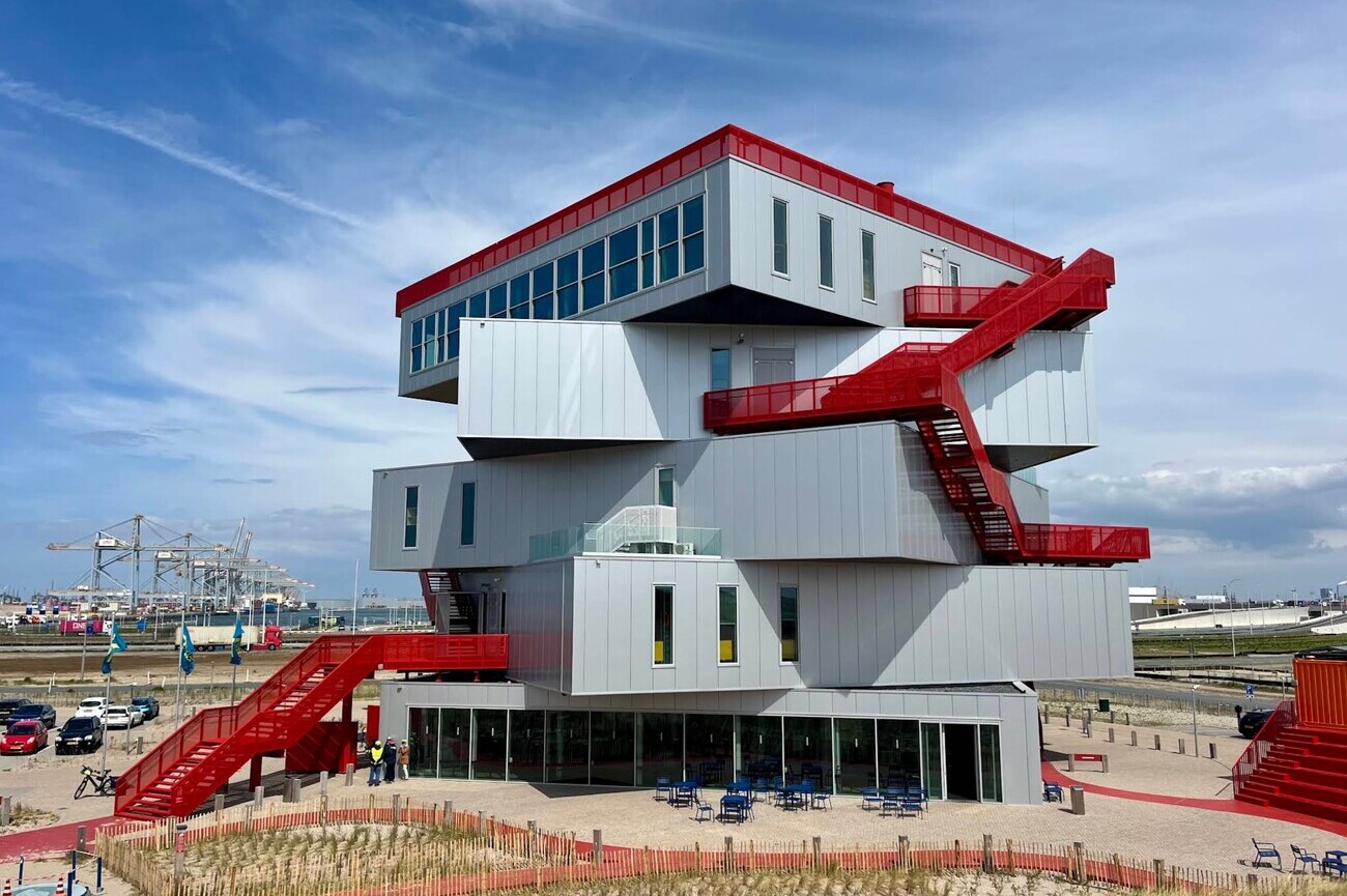
Designed by Dutch architecture firm MVRDV, the building looks like a stack of large industrial platforms connected by exterior stairways. Its multiple exhibition floors explain how Europe’s largest port operates, including container shipping, offshore energy, automation, digital systems and the shift toward cleaner energy. Interactive models, augmented reality installations and technical experiments make the information easy to follow, even when port engineering is not usually your thing.
The rooftop deck is one of the main reasons to visit. It provides panoramic views across the North Sea, Maasvlaktestrand, wind turbines, container terminals and passing cargo ships. You can explore the exhibits independently using the Portlantis app, which provides audio and text in English, Dutch, German, French and Spanish. You can also arrange an exclusive Maasvlakte 2 tour with an English-speaking guide aboard your own coach. A custom program can combine the exhibition, private guiding, a fossil expedition or a boat tour.
Afternoon: Hoek van Holland Beach
Reaching Hoek van Holland requires looping around the Nieuwe Waterweg after leaving Maasvlakte 2. The drive from Portlantis takes 40 to 50 minutes.
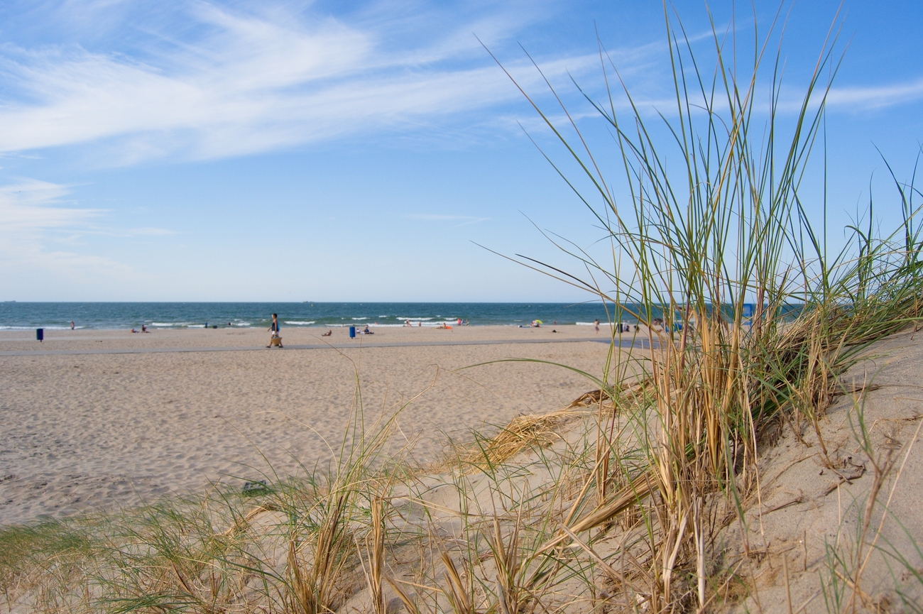
Hoek van Holland Beach stretches approximately 3.5 kilometers and reaches around 250 meters wide in places. It is divided into three main sections: the busier main beach around Badweg and Zeeplein, the water sports beach near Rechtestraat, and the quieter naturist area at Stuifkenszand. Behind the sand, publicly accessible dune trails continue through the Van Dixhoorn Triangle, a landscape created after harbor expansion caused large amounts of sand to accumulate along the coast.
The beach stands at the entrance to the Port of Rotterdam, so the view includes more than open water. Ferries, container ships and other commercial vessels regularly pass close to the coastline on the way to and from Europe’s largest port. You can walk along the shoreline, follow the dune paths or head toward the Rechtestraat section for surfing, kiteboarding and other water sports.
Strand Kijkduin
From Hoek van Holland Beach, continue north along the coast toward The Hague. The drive to Strand Kijkduin takes approximately 20 to 25 minutes, passing the broad coastal landscape near the Sand Motor before reaching Kijkduin’s quieter beachfront.
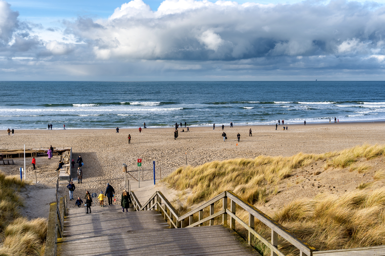
Kijkduin is the smaller and less crowded of The Hague’s two main seaside resorts. Its wide sandy beach is backed by dunes, walking paths and cycling routes, giving the area a more relaxed feel than nearby Scheveningen. The exposed shoreline is also popular for surfing, kiteboarding and long coastal walks.
South of the main beach lies the Sand Motor, an artificial peninsula created in 2011 using approximately 21.5 million cubic meters of sand. Instead of repeatedly adding sand to individual beaches, the project allows waves, wind and currents to spread it naturally along the coast. It is both a major coastal engineering project and an open recreational area used for walking, swimming and water sports.
Museum Beelden aan Zee
After the open shoreline at Kijkduin, the route moves into the busier coastal district of Scheveningen. Museum Beelden aan Zee is about 15 minutes away by car, with Westduinpark and the harbor marking the transition along the way. The museum sits partly hidden inside the dunes on Harteveltstraat.
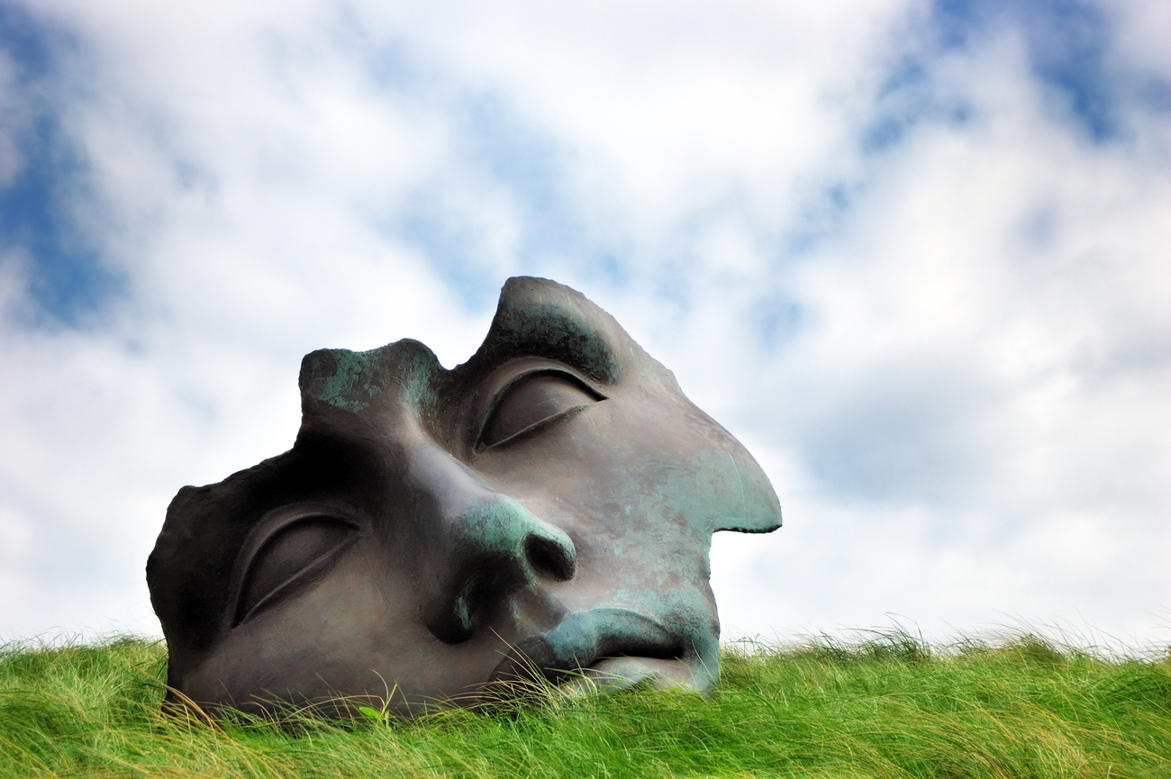
Museum Beelden aan Zee is the only museum in the Netherlands devoted entirely to modern and contemporary sculpture. Its collection ranges from figurative representations of the human body to abstract and experimental works, with sculptures varying from small, detailed pieces to large installations. Dutch architect Wim Quist designed the museum using sand-colored concrete, Italian granite, glass and natural wood. Much of the building sits within the dune beneath the historic Pavilion Von Wied, allowing it to blend into the coastline instead of competing with it. Natural light enters through high windows and open courtyards, while the sculpture terraces provide sea views and space for larger outdoor works.
Evening: Palace Promenade
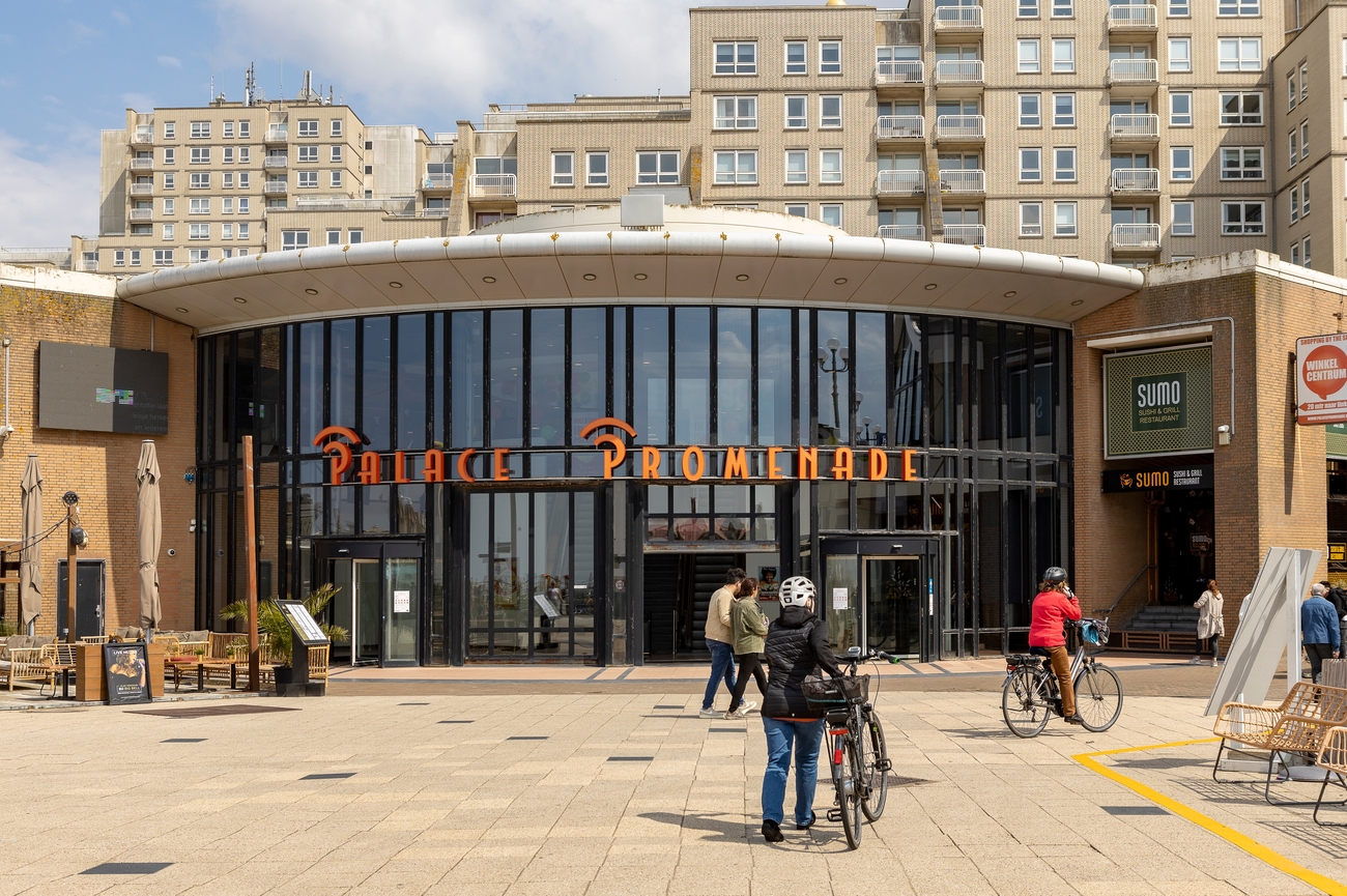
The transition from art to shopping is easy and best handled on foot. Museum Beelden aan Zee sits about 15 minutes from Palace Promenade, with the route following Scheveningen’s beachfront toward the Kurhaus and pier.
Palace Promenade is Scheveningen’s main indoor shopping and entertainment complex. It was developed to provide a weatherproof place for visitors to shop throughout the year, rather than limiting the resort’s activity to sunny summer days. Shops include fashion, jewelry, eyewear, swimwear, accessories and gift shops, alongside familiar Dutch and international chains. It is more of a convenient beachfront shopping center than a full designer mall, but the independent boutiques make it useful for a focused browse before the day ends.
De Pier
Palace Promenade leads almost directly to De Pier, making the final transfer of Day 4 a five-minute walk along Scheveningen’s beachfront. Continue north with the North Sea beside you until the pier’s Ferris wheel and raised decks come into full view.
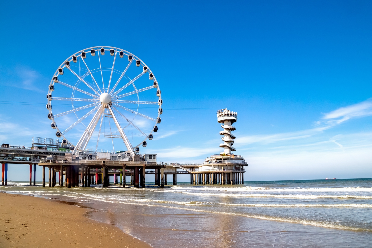
De Pier extends approximately 382 meters over the North Sea and has two main levels: a sheltered lower deck and an open upper deck with wider coastal views. Scheveningen’s original pier opened in 1901 but was destroyed during World War II. The current structure was designed by Dutch architects Hugh Maaskant and Dick Apon and dates from the early 1960s. Its concrete construction and circular terminal platforms give it a distinctly mid-century look that still stands out against the modernized beachfront.
You can walk the pier, move between the covered and outdoor levels and watch cargo ships, fishing vessels and ferries crossing the horizon. The most recognizable attraction is SkyView de Pier, a 45-meter Ferris wheel built above the water. Its climate-controlled gondolas provide elevated views across Scheveningen, The Hague and the North Sea. And you can also enjoy bungee jumping and ziplining from the pier.
Day 4 -
Ouddorp to Scheveningen Tour Map
Day 5
Morning: Scheveningen Lighthouse
Day 5 starts with another lighthouse, this time at the southern end of Scheveningen’s boulevard.
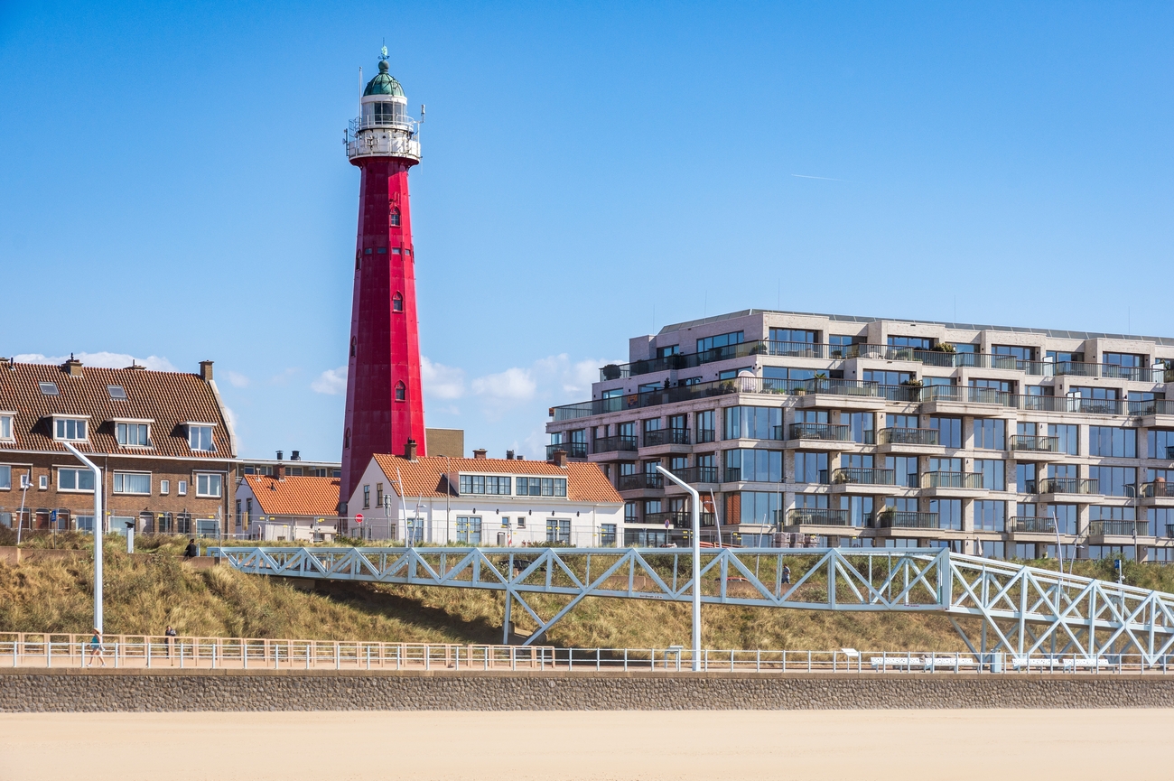
Completed in 1875, Scheveningen Lighthouse was designed by Quirinus Harder, the same Dutch engineer responsible for several other coastal towers. The red, twelve-sided structure stands about 30 meters tall, with its light positioned approximately 49 meters above sea level. Its cast-iron exterior was assembled from 432 plates secured by roughly 4,600 bolts. And inside, a spiral staircase of 159 steps leads toward the lantern and viewing level. When visitor access is available, the climb provides wide views across the North Sea, Scheveningen harbor, the beach and The Hague’s skyline. You can book interior visits through the Muzee Scheveningen, which manages scheduled climbs and group reservations.
Wassenaarseslag
Leaving Scheveningen Lighthouse behind, the route turns north toward Wassenaar and reaches Wassenaarse Slag in 29 minutes by car. A single coastal road cuts through the protected dunes before arriving at the North Sea.
Wassenaar has around eight kilometers of sandy coastline, with Wassenaarse Slag serving as its main public beach access. The broad beach is backed by dunes rather than dense resort development, so the view feels cleaner and less commercial. You can walk, swim or surf here. It delivers proper North Sea scenery without the crowds and attractions found farther south.
The beach borders Meijendel, the largest connected dune area in South Holland and part of National Park Hollandse Duinen. Its landscape combines high dunes, forests, wet valleys and infiltration lakes used in the region’s drinking-water system. The surrounding paths work well for a short walk, although the full nature reserve is extensive enough to fill several hours. You can join guided group excursions led by a dune ranger or trained volunteer. These walks cover the area’s wildlife, plant life, dune management and water purification system.
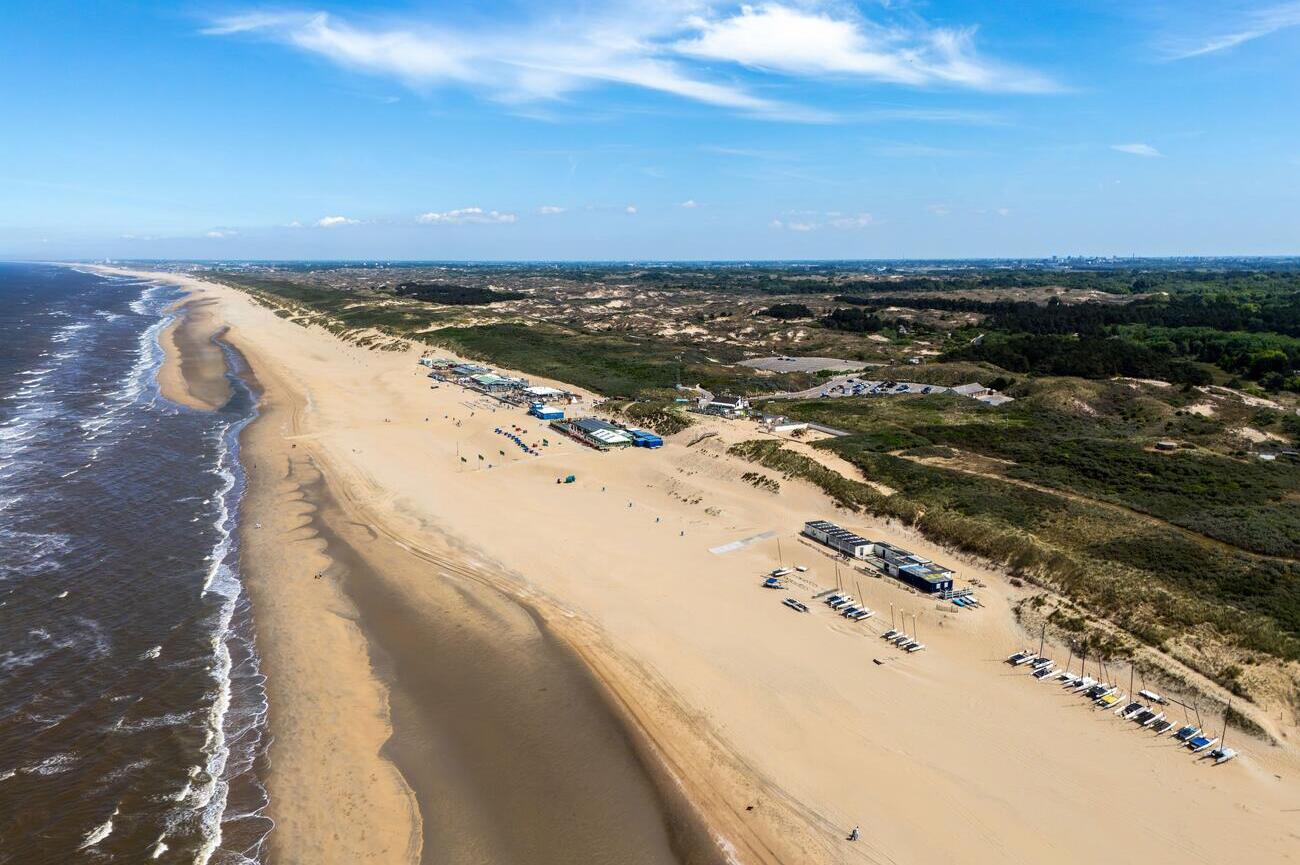
Vuurtoren van Noordwijk aan Zee
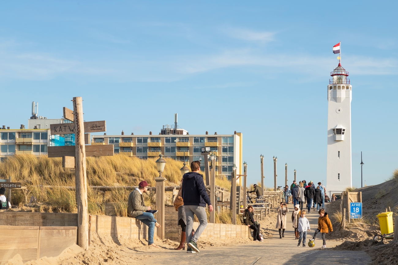
Another lighthouse stop comes next, 20-25 minutes by car from Wassenaarse Slag. The route continues north through the coastal communities of Katwijk and Noordwijk before reaching Koningin Wilhelmina Boulevard, where the white tower stands close to the beach.
The current Noordwijk Lighthouse dates from 1921 and replaced earlier coastal beacons used to guide local fishing vessels. Built from brick and reinforced concrete, the tower has six floors, 108 steps and a light positioned about 33 meters above ground level. Its clean white exterior gives it a more modern look than the red cast-iron lighthouse in Scheveningen, while the upper level provides views across Noordwijk, the dunes and the North Sea.
Exhibits across the different floors cover the tower’s history and its connection with the local sea-rescue service. You can also arrange a private guided visit for friends, family or a small executive group, which gives you more time inside.
Afternoon: Zandvoort Beach
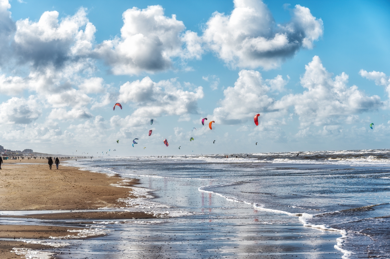
The coastal run from Vuurtoren van Noordwijk aan Zee to Zandvoort Beach takes 40-45 minutes by car. The route moves through the dune and bulb-growing region before reaching Zandvoort’s seafront.
Zandvoort Beach stretches for approximately nine kilometers and reaches around 100 meters wide in places. It has held the Blue Flag for years, recognizing clean water, beach safety and responsible coastal management. The main beachfront is backed by a promenade, while the northern and southern sections gradually become quieter and more connected to the surrounding dunes.
You can spend the stop walking along the shoreline, swimming or joining a surfing, stand-up paddleboarding or kiteboarding session. Zandvoort has several established surf schools, including Surfana, where certified instructors provide lessons for beginners and more experienced surfers. The steady North Sea waves make the beach suitable for water sports throughout much of the year, although conditions can be windy and the water stays cool even during summer.
MASCOT Circuit
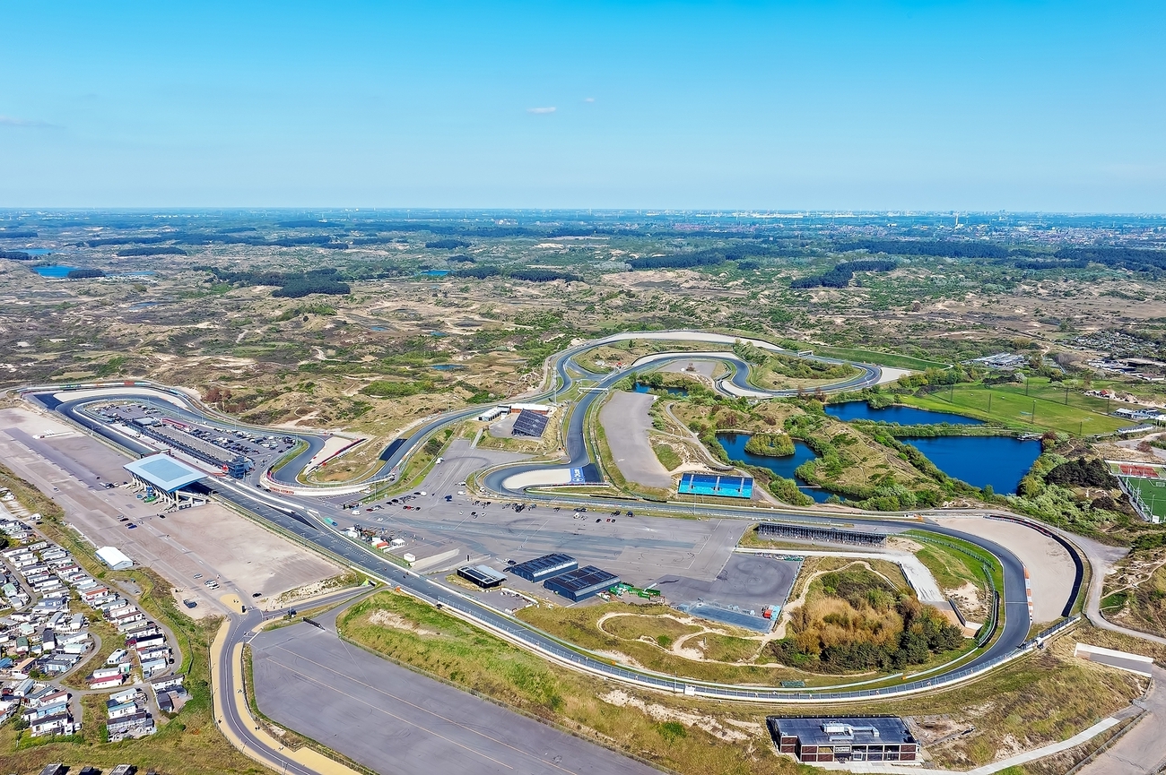
Zandvoort Beach and the circuit sit almost side by side. A 5-minute drive brings you inland from the seafront to Burgemeester van Alphenstraat, while walking takes approximately 20 minutes.
Motor racing in Zandvoort began with a temporary street race on June 3, 1939. Its success encouraged plans for a permanent track, although World War II delayed construction. The completed circuit opened on August 7, 1948, with Prince Bira of Siam winning the first race. Several original sections, including Tarzan Corner, Hunserug and Scheivlak, remain central to the track’s old-school character.
The track measures approximately 4.3 kilometers and includes 14 corners, natural elevation changes and narrow sections where drivers have little room to recover from mistakes. Tarzan Corner, located at the end of the main straight, is one of the best overtaking points because of its heavy braking zone and wide entry. The Hugenholtz and Arie Luyendyk corners are banked at approximately 32 degrees, making Zandvoort the only circuit on the Formula 1 calendar with this type of steeply banked corner arrangement. Its main grandstand holds more than 2,700 spectators, while the track surface is officially called “Flying Dutch.” Lewis Hamilton holds the official race lap record of 1:11.097, set during the 2021 Dutch Grand Prix.
Visitor access depends on the event calendar, so check the official schedule before arriving. The circuit is open on most days from approximately 8:30 a.m. to 5:30 p.m., although major events and private sessions can limit public access.
Marina Seaport
The dunes north of Zandvoort shape the next stretch of the route. Marina Seaport IJmuiden is approximately a 25-minute drive from MASCOT Circuit Zandvoort, with the drive running along the edge of Zuid-Kennemerland National Park before reaching the mouth of the North Sea Canal.
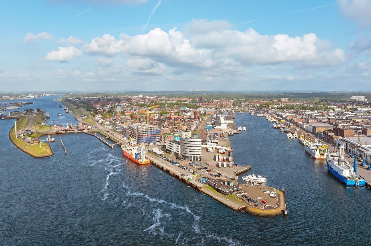
Marina Seaport IJmuiden opened in 1994 and was developed on the extended southern pier of the IJmond. It sits between the North Sea, a broad sandy beach and the Kennemer dunes. The harbor has roughly 650 berths for recreational vessels of different sizes and is equipped to support both local boats and visiting seagoing yachts.
The marina lies outside the IJmuiden locks, allowing boats to reach the North Sea without first passing through the lock system. This direct access makes it a practical base for offshore sailing, sea trials and larger vessels, including mega yachts. You can walk along the harbor edge and watch sailboats, motor yachts, pilot vessels and commercial ships moving between the North Sea and the canal leading toward Amsterdam. You can also book the nearby Port & North Sea boat tour. The approximately one-hour trip passes the fish market, rescue vessels, fishing boats, a World War II submarine bunker, Forteiland, the IJmuiden locks and the industrial harbor.
Evening: Zuidpier IJmuiden
Marina Seaport IJmuiden opens directly onto the entrance of Zuidpier, so reaching the next stop takes only a few minutes on foot. Follow the waterfront toward the pier gate, then continue along the concrete structure as it extends into the North Sea.
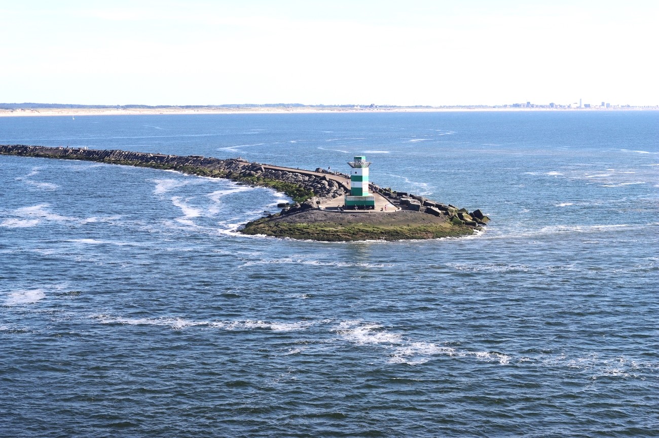
Zuidpier was built at the entrance of the North Sea Canal to reduce silting and create calmer conditions for vessels traveling between the North Sea and Amsterdam. Its location provides close views of container ships, cruise vessels, fishing boats, pilot boats and tugboats entering and leaving IJmuiden.
The pier is also one of the Netherlands’ better coastal birdwatching locations. Sea anglers gather along parts of the structure, while birdwatchers come to observe migratory seabirds and shorebirds that are difficult to see from the beach. More than 300 bird species have been recorded around the IJmuiden piers and seals or porpoises may occasionally appear in the surrounding water. A small lighthouse stands at the far end, with open views across the North Sea, marina and canal entrance.
Callantsoog
The drive north from Zuidpier IJmuiden takes about an hour, passing the North Holland dune belt before reaching the coastal village of Callantsoog. Although the transfer is longer than the earlier drives, it keeps the itinerary moving in the correct geographical direction and places you farther north for the start of Day 6.
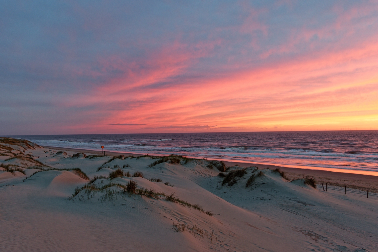
Callantsoog has a wide sandy beach with five main beach entrances and an open shoreline facing the North Sea. Compared with Zandvoort and Scheveningen, it feels less developed and noticeably calmer, especially later in the evening. The beach is suited to a straightforward sunset walk rather than another scheduled attraction, which is honestly the better move after a full day of lighthouses, beaches, motorsports and harbor activity.
Ending here also makes the following day more efficient. Callantsoog sits north of IJmuiden and provides a logical starting point for continuing toward Groote Keeten, Huisduinen, Den Helder and the Dutch Wadden coast.
Day 5 - Scheveningen to Callantsoog Tour Map
Day 6
Morning: Strand Groote Keeten
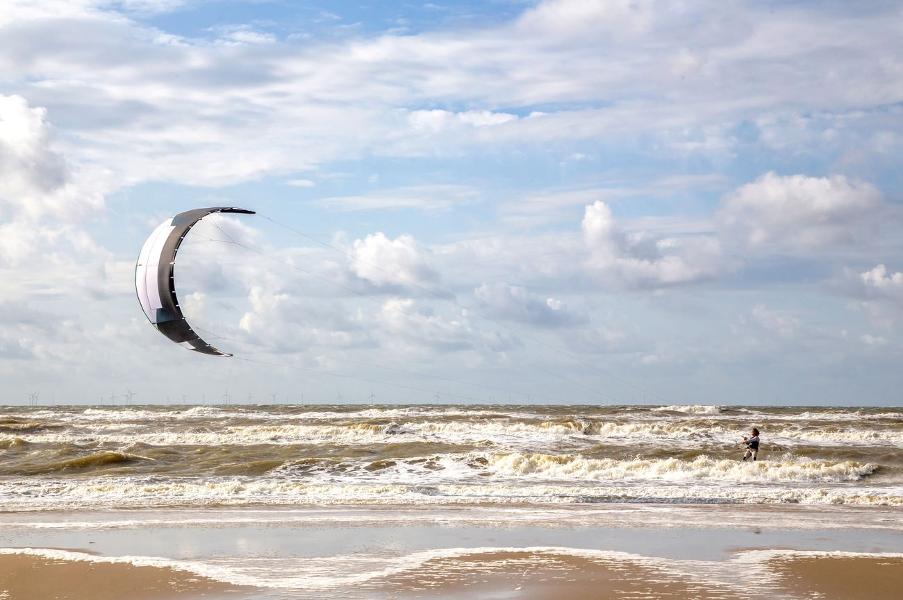
Groote Keeten offers a broad stretch of sand with fewer crowds and less commercial development than Zandvoort or Scheveningen. The beach faces directly onto the North Sea and is backed by a continuous dune belt, giving it a clean, open look from almost every angle. It is monitored by a coastal rescue team during the active season and has Blue Flag recognition for water quality, environmental management and visitor safety.
The village developed from a small settlement of dike and polder workers. Its name is connected to the Groote Keet, an inspection hut established in the early 17th century when work began on the Zanddijk toward Huisduinen. Parts of the surrounding landscape still show traces of older dunes, flooded land and historic coastal defenses built to protect the reclaimed polders farther inland.
You can keep the visit straightforward with a walk along the water or continue into the surrounding dunes. The official walking network offers several routes beginning near Groote Keeten, including a 2.09-kilometer loop, a 5.13-kilometer route and a longer 7.99-kilometer trail. You can also book private surf coaching with an instructor who can arrange the session at Groote Keeten based on the tide, wind and experience level.
Strandslag Huisduinen
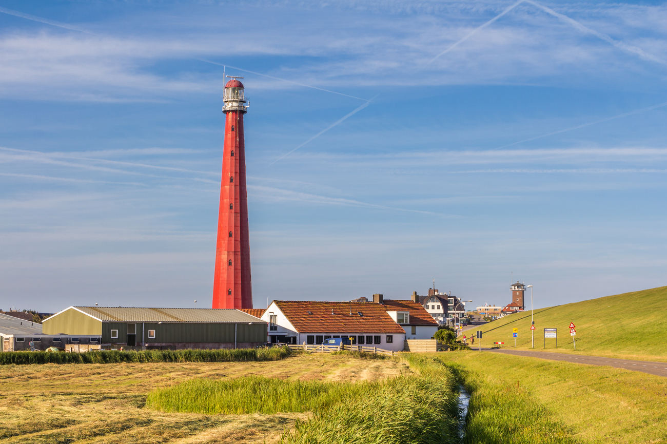
The route continues north through the dunes and coastal villages toward Den Helder. Allow a 15-minute drive from Strand Groote Keeten to reach Huisduinen, where the beach access sits beside the historic village, Fort Kijkduin and the red Lange Jaap lighthouse.
This is the northernmost beach entrance on the mainland coast of North Holland. The beach is wide, quiet and noticeably less commercial than the major resorts farther south. Its location near the meeting point of the North Sea and Wadden Sea also gives the coastline a more exposed feel, with strong winds, changing currents and long views toward Texel.
Huisduinen itself is one of the oldest settlements in the region. The village has connections to whaling, coastal defense and the growth of Den Helder as a naval center. Behind the beach, the Grafelijkheidsduinen contain dune lakes, moss-covered terrain and walking paths across land that once formed separate Wadden islands.
You can take a straightforward walk along the shoreline or follow the dike toward Paal 0, the historical starting point of the Dutch system of numbered coastal markers introduced around 1840. The nearby dune paths can also be explored on foot or by bicycle, with routes continuing through bunkers, open grassland and coastal viewpoints.
Fort Kijkduin
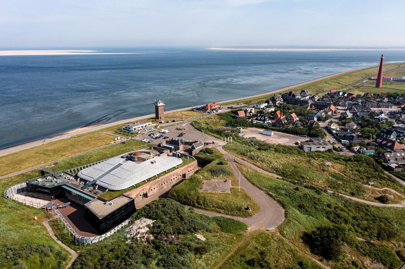
Fort Kijkduin sits directly behind the Huisduinen coastline, so the transfer from Strandslag Huisduinen takes only about five minutes. The route climbs slightly through the historic village before reaching the fort at Admiraal Verhuellplein.
Napoleon Bonaparte ordered the construction of Fort Kijkduin in 1811 to defend the strategically important naval base at Den Helder. The fort later became part of the Stelling Den Helder, one of the oldest surviving defensive lines in the Netherlands. Inside, you will find brick corridors, artillery displays, interactive military exhibitions and an outdoor defense system built around a diamond-shaped moat and caponiers. The fort was last extensively restored in 1996 and has since operated as a public heritage attraction.
It has the North Sea Aquarium, which focuses on marine life from the North Sea and Wadden Sea. Its exhibits include sharks, rays and fish adapted to tidal environments, along with a 15-meter underwater tunnel where marine animals swim above visitors. The collection also introduces the region’s whaling history through the skeleton of Chris the sperm whale.
You can explore independently using the fort’s free audio tour, but the guided option provides much stronger historical context. Volunteer-led tours are offered every Thursday and Saturday, with a Dutch-language tour at 11:30 a.m. and a German-language tour at 1:30 p.m. The guides discuss the people who lived and worked inside the fort, its defensive role and how the complex changed over time.
Afternoon: Waddenbelevingspunt
You will be crossing the open agricultural landscape of northern North Holland as you transfer from Fort Kijkduin to Waddenbelevingspunt.
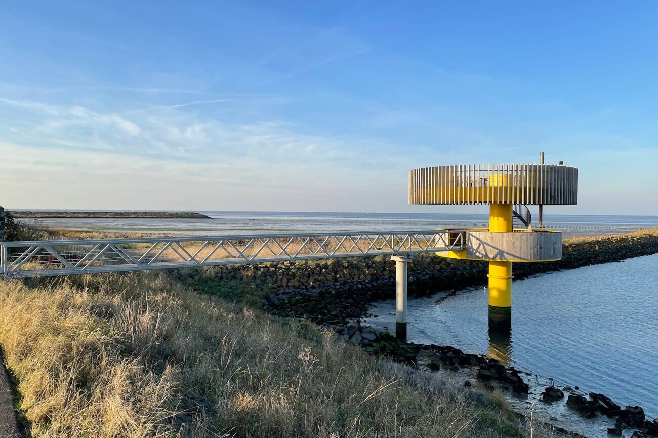
Designed by Amsterdam-based Knevel Architects, the Waddenbelevingspunt is an elevated observation structure overlooking the UNESCO-listed Wadden Sea. The platform provides clear views of Den Oever Harbor, the Afsluitdijk, the former island of Wieringen, the ’t Schor nature reserve and the Vogelsand breakwater. Information panels explain the area’s wildlife, tidal environment and coastal landscape.
The surrounding waters are especially important for birds. The nearby breakwater supports one of Europe’s largest spoonbill colonies during the summer, while the mudflats and salt marshes attract migratory and resident species throughout the year. Binoculars are useful here, particularly around low tide, when more feeding areas become visible. The viewpoint is also located in one of the darker parts of the Netherlands, making it suitable for stargazing after sunset.
Monument op de Afsluitdijk
About 14 minutes after leaving Waddenbelevingspunt, the route reaches the Monument op de Afsluitdijk, also known as the Vlieter Monument. This is where the scale of the 32-kilometer barrier becomes much easier to understand.
The monument marks the exact area where the final opening in the Afsluitdijk was closed on May 28, 1932. That moment separated the former Zuiderzee from the Wadden Sea and created the IJsselmeer. Dutch architect Willem Dudok designed the observation tower, which was completed in 1933. Its slender vertical form was intentionally designed to contrast with the heavy horizontal line of the dike.
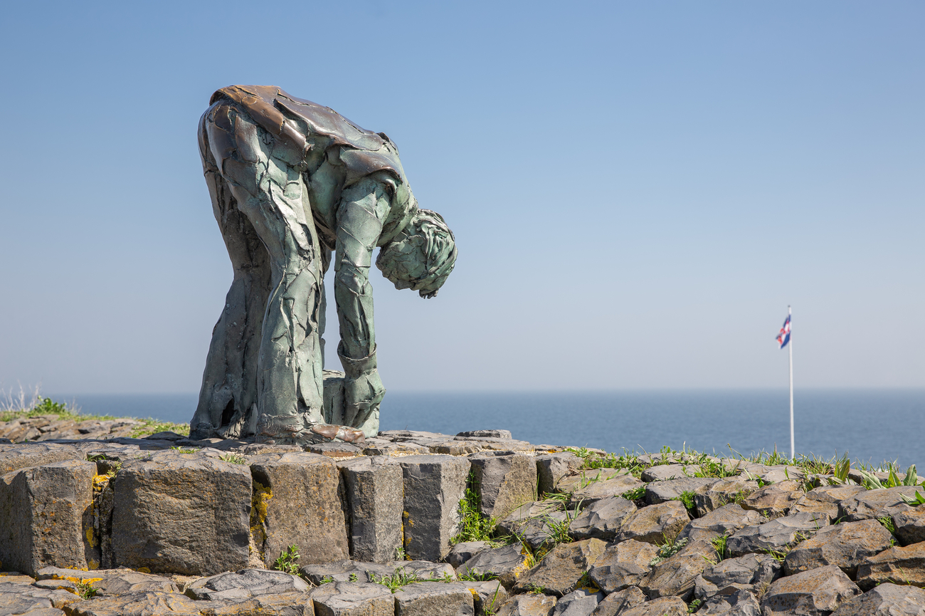
Memorial features on the Wadden Sea side include statues honoring engineer Cornelis Lely and the stoneworkers who helped construct the Afsluitdijk. Information points explain the project’s history, while the surrounding viewpoints show the barrier, tidal Wadden Sea and calmer IJsselmeer within the same landscape. The official 2Discover tour also provides mobile videos, podcasts and information for more than 20 locations along the Afsluitdijk.
Strand Harlingen
Once the monument visit is complete, continue across the remaining section of the Afsluitdijk and into Friesland. Strand Harlingen is a 30-minute drive from Monument op de Afsluitdijk, with the route shifting from open water and engineering landmarks to farmland.
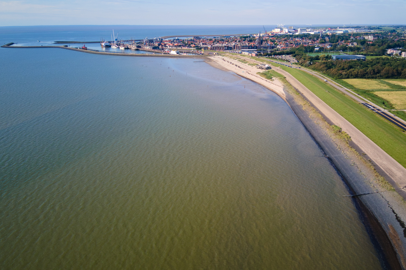
Strand Harlingen is a compact beach on the edge of the Wadden Sea, within walking distance of the city’s historic center. It is smaller and more intimate than the broad North Sea beaches visited earlier in the itinerary. The shallow tidal water, open horizon and steady movement of ferries give the area a distinctly maritime feel without the heavy resort development found in Scheveningen or Zandvoort.
Harlingen is one of the oldest seaport cities in the Netherlands and remains an important departure point for ferries traveling to Terschelling and Vlieland. From the beach, you may see passenger ferries, traditional sailing ships and smaller vessels moving through the harbor channels. The shoreline also changes noticeably with the tide, exposing more of the Wadden Sea’s muddy foreshore as the water pulls back.
The beach is open throughout the year and works best as a short shoreline walk, a quiet break or a chance to watch harbor traffic. You can also continue toward the nearby dike and waterfront for broader views of the Wadden Sea.
Evening: Pilsum lighthouse
The itinerary crosses into Germany for its first East Frisian stop. Pilsum Lighthouse is approximately two and a half hours by car from Strand Harlingen, with the route passing Groningen, the Dutch-German border and the flat coastal landscapes around Emden. The lighthouse stands on the dike outside Pilsum and is reached by a short walk.
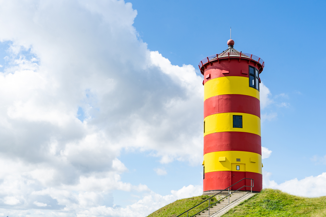
Known locally as the Pilsumer Leuchtturm, the compact tower is only about 11 meters tall, making it noticeably smaller than the other lighthouses visited during the trip. Its bold red-and-yellow horizontal stripes, green roof and isolated position on the grassy dike have made it one of East Frisia’s most recognizable landmarks. A staircase of only 28 steps leads through the interior, but the small scale is part of the charm rather than a drawback.
The lighthouse was completed near the end of the 19th century as one of four navigation lights along the East Frisian North Sea coast. It was used to help vessels travel through the Emshörn channel before changes to the shipping route reduced its navigational importance. The tower later became widely known through German television, children’s books and the 1989 comedy "Otto – Der Außerfriesische," where it appeared as the main character’s home.
Greetsieler Hafen
The compact harbor village of Greetsiel is the next stop, about 20 minutes by car from Pilsum Lighthouse. The approach moves inland from the dike before joining the narrow streets surrounding the harbor basin.
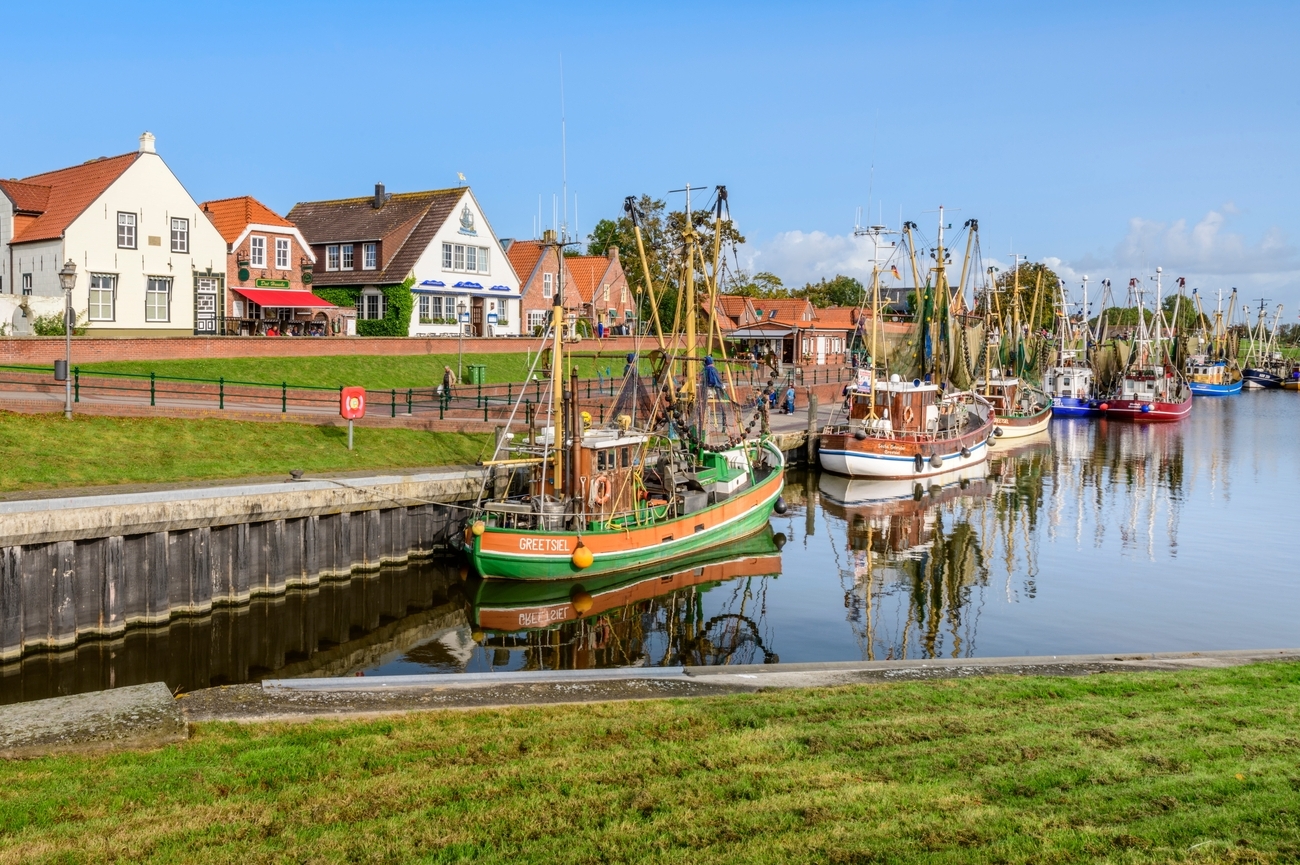
Greetsiel was first recorded in 1388, when ships from Hamburg used its waters as an anchorage and paid customs duties here. The harbor remains closely tied to commercial fishing and currently supports one of the largest shrimp-boat fleets on the East Frisian coast. Colorful cutters occupy the western side of the basin, while yachts and recreational vessels use the eastern section.
The harbor is no longer controlled directly by the North Sea tides. Construction of the Leyhörn headland and the Leysiel lock created a tide-independent channel, allowing vessels to reach Greetsiel even when water levels farther outside are low. Around the waterfront, restored brick houses, old sluice structures and narrow lanes preserve the character of the former fishing village without making it feel staged.
Day 6 - Groote Keeten to Greetsiel Tour Map
Day 7
Morning: Strand Norddeich
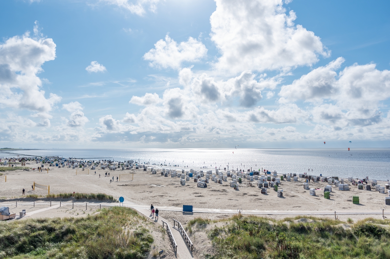
Strand Norddeich is a sandy tidal beach overlooking the UNESCO-listed Wadden Sea, with clear views toward the islands of Juist and Norderney. Unlike a typical North Sea beach, the shoreline changes dramatically throughout the day. At high tide, the water reaches the bathing area, while low tide exposes a wide stretch of mudflats and seabed.
The beach combines a traditional sandy section with open grassy areas, a waterfront promenade and an observation tower overlooking the islands and tidal landscape. You can keep the stop efficient with a walk along the dike and beach or spend more time watching ferries travel between Norddeich and the East Frisian Islands. You can also join guided mudflat walks where licensed guides explain the Wadden Sea ecosystem, including shellfish, worms, crabs, birdlife and the effects of the tides. Options range from approximately 80-minute introductory walks to more demanding two-hour ecological excursions through the muddier Osthafen area.
Kurpark Norddeich
A walk of 10 minutes inland from Strand Norddeich leads to Kurpark Norddeich, also known locally as the Seekurgarten. The route follows Dörper Weg away from the waterfront.
Kurpark Norddeich is a municipal green space designed for light exercise, fresh-air therapy and unhurried breaks. Its layout includes broad lawns, small waterways, shaded paths and benches placed throughout the grounds. The park’s most distinctive feature is the Klimapavillon, a sheltered climate pavilion containing six wooden loungers used for fresh-air resting therapy. Nearby, an outdoor movement circuit includes equipment intended to support balance, coordination and mobility. The pavilion also serves as a starting and finishing point for Norddeich’s official therapeutic walking routes.
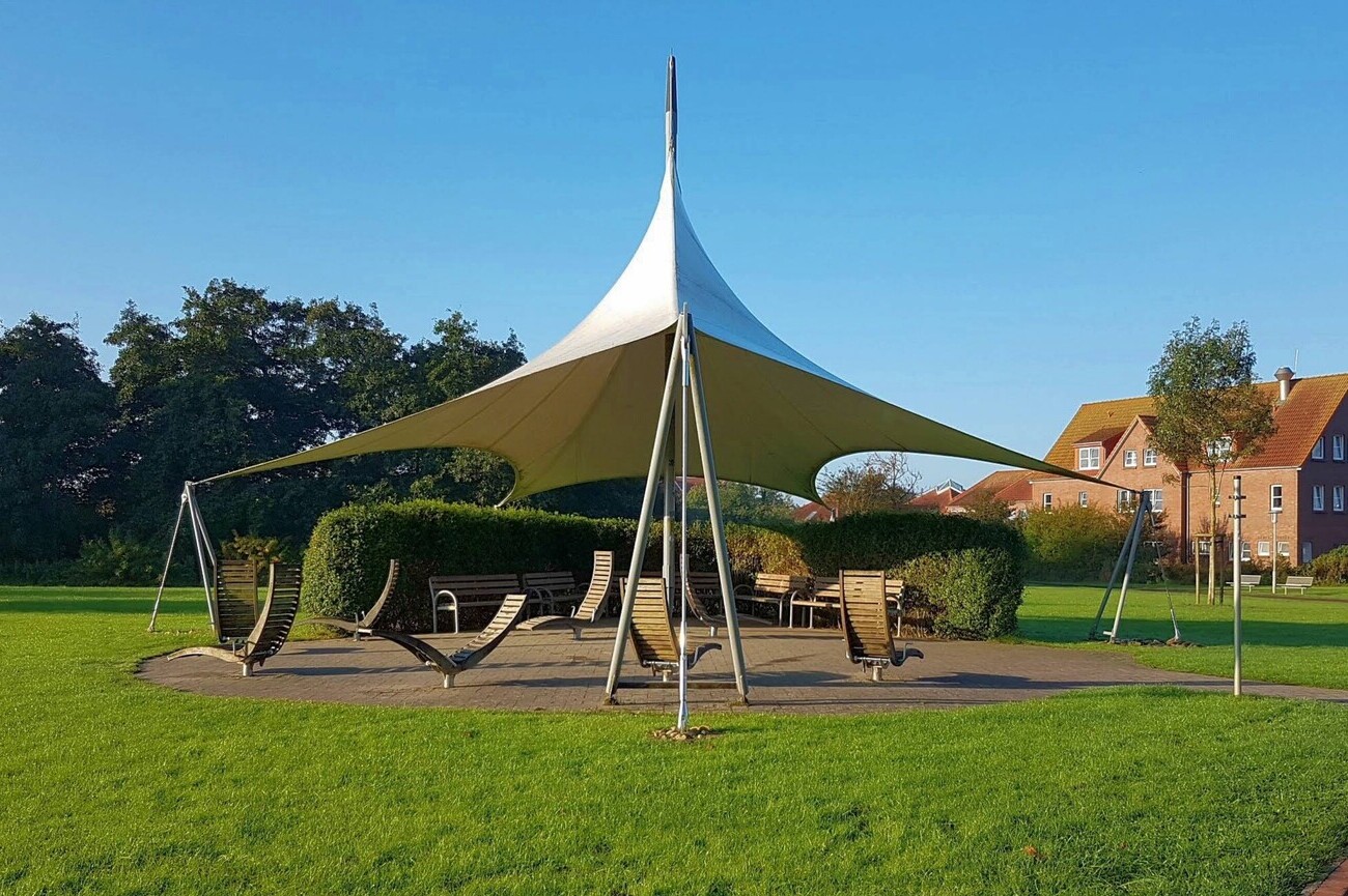
Afternoon: Hooksieler Strand
The afternoon route leaves Norddeich and continues east across the East Frisian mainland toward Wangerland. Hooksieler Strand is approximately an hour by car from Kurpark Norddeich, with the drive passing coastal farmland, drainage canals and small villages before reaching the Jade Bay side of the North Sea coast.
Hooksieler Strand is one of the larger beaches on the East Frisian Peninsula, combining a long sandy shoreline with open grassy areas behind it. The beach is divided into designated textile, dog-friendly and naturist sections, allowing visitors to choose a quieter or more active part of the coast. Lifeguards supervise the main swimming area during official bathing periods, but swimming remains dependent on the Wadden Sea tides.
You can spend the stop walking along the sand, swimming when the tide is suitable or watching kite surfers and windsurfers use the exposed coastal waters. Private sailing can also be planned around the tide and weather, with possible routes toward the East Frisian Islands, Helgoland or the wider North Sea.
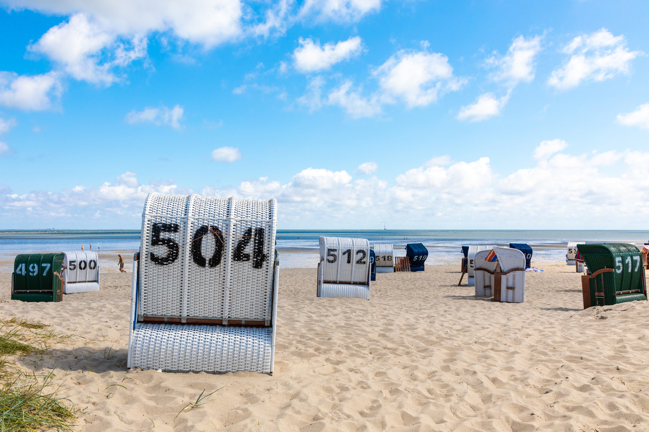
Südstrand
From Hooksieler Strand, continue south along the Jade coast for roughly 25 minutes by car to reach Südstrand Wilhelmshaven. The route gradually moves from open coastal scenery into a more urban maritime district.
Südstrand is known as the only south-facing beach on Germany’s North Sea coast. Opened as a public seaside destination in 1929, it combines a tidal bathing area with a long promenade overlooking Jade Bay. Colorful covered beach chairs line the waterfront from May through September, while passing sailboats, naval vessels and commercial ships keep the view active. Because the beach faces the sheltered bay rather than the open sea, the water and atmosphere can feel calmer than at Hooksieler Strand.
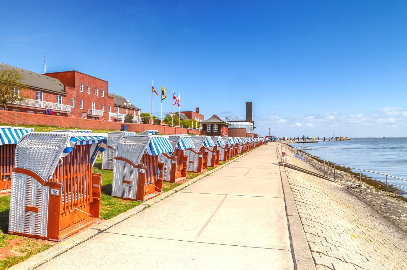
Kaiser Wilhelm Bridge
A short walk along the Südstrand promenade brings you to the Kaiser Wilhelm Bridge in roughly five minutes. The bridge links the waterfront with Wilhelmshaven’s southern city and harbor district.
Completed in 1907, the Kaiser Wilhelm Bridge was the largest swing bridge in Europe at the time. The 159-meter steel structure was designed by engineer Ernst Troschel and built to provide road access across the harbor without blocking tall naval and sailing vessels. Around 800 tons of steel form its trusses, towers and rotating sections, giving the bridge a strong industrial appearance that fits Wilhelmshaven’s naval character. It is now protected as a nationally significant historic monument.
The bridge remains operational. When a tall-masted ship needs to enter or leave the harbor, its two sections rotate horizontally to create a wide passage through the center. Traffic and pedestrians must wait while the bridge is open, but watching the mechanism in motion is one of the more interesting parts of the visit. When closed, you can cross on foot, by bicycle or by car, with elevated views across the Großer Hafen, Südstrand and surrounding maritime district.
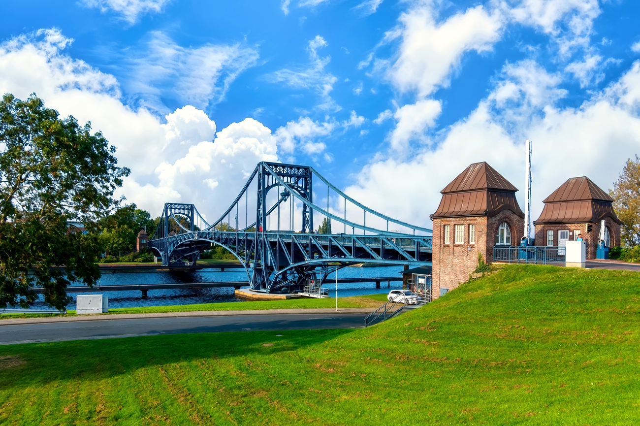
NordseePassage
Leaving the waterfront behind, head toward central Wilhelmshaven for the next stop. NordseePassage is roughly seven minutes by car from the Kaiser Wilhelm Bridge.
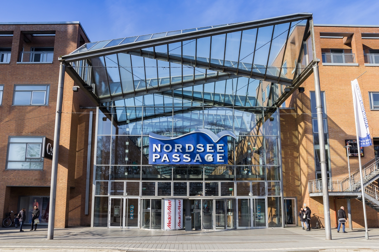
Opened on September 4, 1997, NordseePassage is the city’s principal indoor shopping center. German architect Meinhard von Gerkan and the Hamburg-based firm gmp designed the complex, which covers approximately 28,000 square meters. Its defining feature is the large glass roof above the central passage, formed from triangular panels positioned at different angles. Combined with the building’s North German brickwork, the roof keeps the interior bright without making the center feel overly polished or generic.
Around 50 stores operate across the complex, covering fashion, watches, jewelry, cosmetics, technology, books, gifts, health products and everyday essentials. Current retailers include recognizable names such as H&M and TK Maxx alongside regional businesses and specialist shops. This is not a designer mall in the same category as Knokke’s Kustlaan, but it is useful for efficient shopping when you want several categories under one roof.
Evening: Alte Liebe in Cuxhaven
After shopping at NordseePassage, the itinerary continues toward Cuxhaven for an hour and 30 minutes. The route follows the northern German coast through Bremerhaven before reaching the mouth of the Elbe. Alte Liebe stands at the harbor’s edge.
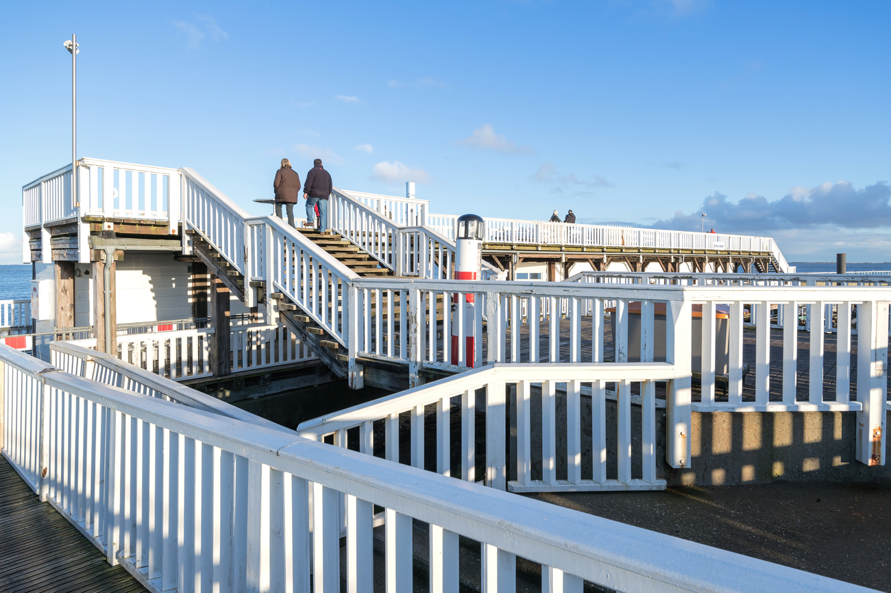
Alte Liebe began in 1733, when three retired ships were deliberately sunk to strengthen Cuxhaven’s storm-damaged harbor entrance. Wooden piles were placed around the vessels, and the spaces were filled with stones and brushwood. One explanation for the landmark’s name is that one of those ships was called Die Liebe. The structure later served as a landing stage before being converted into a two-level wooden observation platform in 1981.
The platform provides open views across the Lower Elbe shipping channel, Cuxhaven Harbor and the water leading into the North Sea. Container ships, cruise vessels, ferries and working harbor boats regularly pass the viewing point. It is normally free to visit and you can explore it independently without booking a formal tour. Seasonal harbor cruises also depart near Alte Liebe between March and October, with routes through Cuxhaven Harbor and excursions toward the seal banks.
Kugelbake
The final stretch of the itinerary follows Cuxhaven’s waterfront from Alte Liebe toward the Döse district. Kugelbake is approximately 10 minutes away by car, with the route tracing the edge of the Elbe as the harbor gradually gives way to open beach and tidal flats. The wooden sea marker stands at the point where the Elbe meets the North Sea, making it a fitting geographical endpoint for the entire coastal journey.
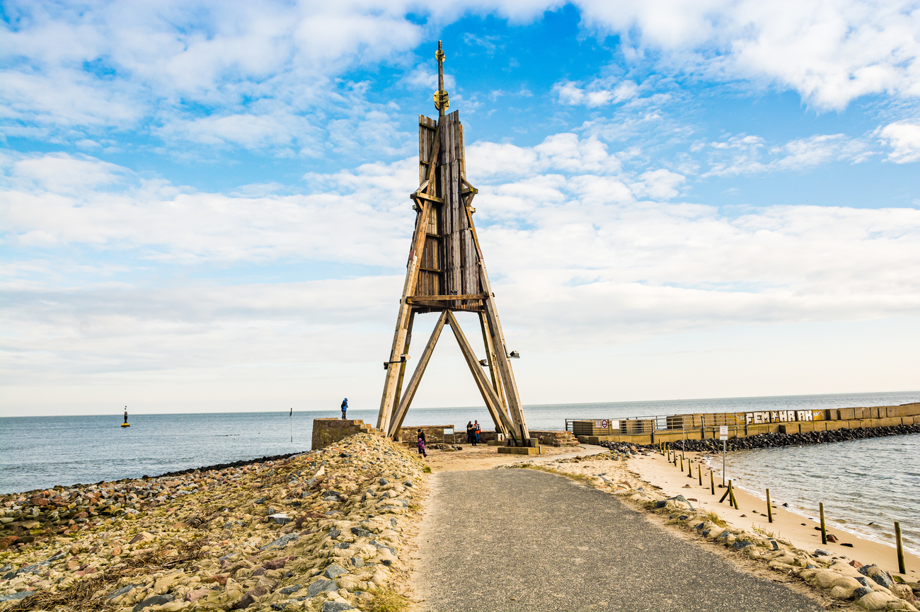
Kugelbake is Cuxhaven’s official landmark and marks the northernmost point of Lower Saxony. The first navigation marker was installed here in 1730, while the present wooden structure dates from 1924. Rising approximately 29 meters, it once helped sailors identify the entrance to the Elbe before modern radar and electronic navigation took over. The term Bake is an old German word for a maritime navigation marker.
Its angular wooden frame is topped by a distinctive spherical form and stands directly beside the shipping channel. Large container ships, ferries and cruise vessels pass surprisingly close as they travel between Hamburg and the North Sea. The surrounding viewpoint also opens onto the Wadden Sea, while the opposite bank of the Elbe is visible in clear weather. You can explore it on your own, watch the passing ships and follow the nearby waterfront paths without committing to a long scheduled activity.
Day 7 - Norddeich to Cuxhaven Tour Map
Other Things to Do on the North Sea Coast
The seven-day route already covers the headline beaches, lighthouses and harbor landmarks, but several worthwhile places sit inside the same cities and coastal towns. No major detours, no random side trips and no doubling back across the map. These additions work well when you have extra time or want to replace an outdoor stop during poor weather.
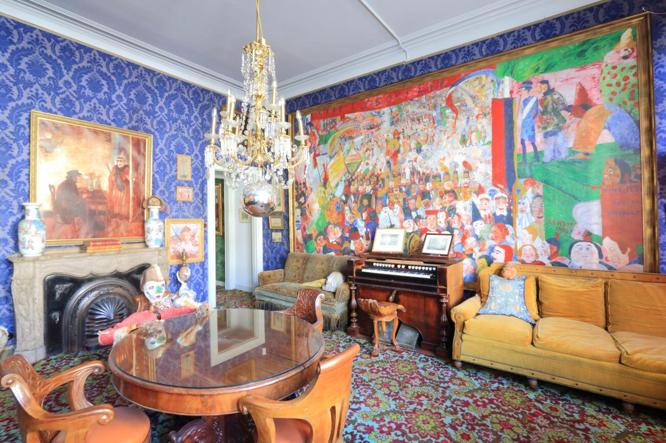
- The James Ensor House: The James Ensor House preserves the home and workspace of one of Belgium’s most distinctive modern artists. Ensor lived and worked here until his death in 1949 and the museum now combines the original family house with five interactive rooms displaying letters, photographs, personal items and the carnival masks that influenced much of his work. You can join a scheduled 90-minute guided visit or follow the official 13-stop Ensor Walk through Ostend using digital audio and visual material.
- Belle Epoque: The Belle Epoque Centrum focuses on the period between 1870 and 1914, when Blankenberge grew from a fishing community into one of Belgium’s most fashionable seaside resorts. The museum occupies three restored late-19th-century villas and uses original decorative elements, photographs, posters, clothing and household objects to show how affluent visitors experienced the coast before World War I. The exhibits also explain how rail travel, bathing culture and new leisure habits changed Blankenberge’s economy and architecture. You can book a one-hour museum tour, choose an architectural walk through Blankenberge or combine both into a longer program.
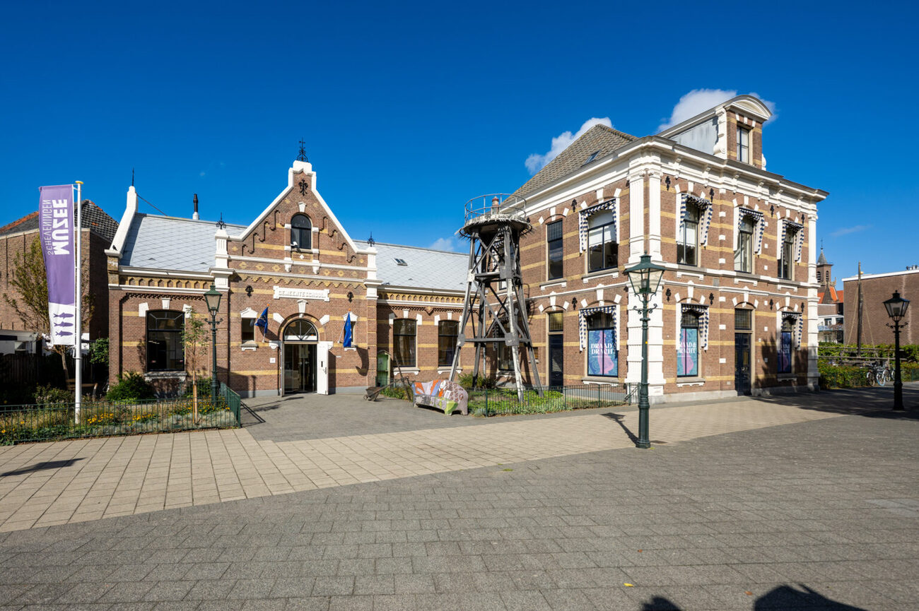
- Muzee Scheveningen: Muzee Scheveningen occupies a former school building in the old fishing district and covers the community’s transformation from a small coastal village into a major seaside resort. Its collection combines maritime history, local culture and natural history. Ship models, household objects, photographs and personal stories show how families lived when much of the local economy depended on the North Sea. One of the central displays is a reconstructed bomschuit, the flat-bottomed fishing vessel once launched directly from Scheveningen’s beach before a proper harbor existed. The museum also contains extensive collections of shells, coral, marine animals and Ice Age remains.
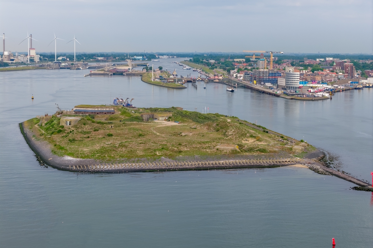
- Forteiland: Forteiland IJmuiden occupies a strategic position at the entrance of the North Sea Canal and forms part of the UNESCO-listed Defense Line of Amsterdam. The fort was constructed during the late 19th century to protect the canal and the route toward Amsterdam. Changes to the coastline later left it surrounded by water, so reaching the site now involves a short boat crossing that immediately makes the visit feel more exclusive than a standard mainland attraction. It contains underground corridors, bunkers, artillery positions, former crew areas and a large domed hall. Original wall paintings and military details remain visible throughout the complex. You can join public heritage days which generally combine boat transportation with guided access to the fort.
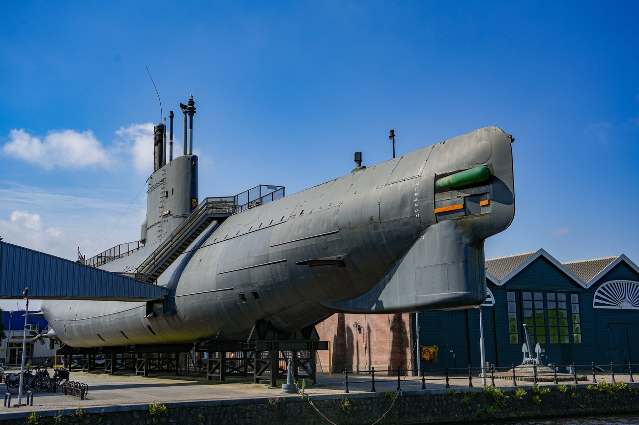
- Navy Museum: The Navy Museum stands within Willemsoord, the former naval dockyard of Den Helder, and covers roughly 500 years of Royal Netherlands Navy history. Exhibitions trace the development of ships, weapons, uniforms, communication systems and naval strategy from the early modern period through the Cold War and present day. The industrial dockyard setting gives the collection a sense of scale before you even step aboard the vessels. You can enter the Tonijn, the only submarine of its type open to the public in the Netherlands and move through its original control rooms, sleeping areas and narrow passageways. Former crew members are often present to explain what daily life was like below the surface. Other ships and outdoor displays show how naval design changed as technology, warfare and international responsibilities evolved.
Things to Do with Kids on the North Sea Coast
The North Sea Coast is surprisingly easy to handle with children once you mix the beaches and lighthouses with places designed for shorter attention spans. The same cities covered by the itinerary have aquariums, hands-on museums, animal centers, playgrounds and water parks that work when the weather is cold, windy or simply doing the most. Some can fill half a day, while others are compact enough to rescue an awkward gap in the schedule.
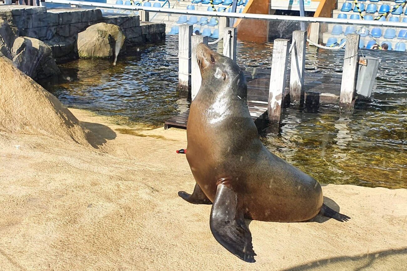
- SEA LIFE | Blankenberge: SEA LIFE Blankenberge is a family-focused aquarium and marine animal center close to the city’s seafront. Its exhibits move through different underwater environments, introducing children to sharks, rays, sea turtles, otters, penguins and smaller marine species. The layout combines indoor tanks with outdoor animal areas, so the visit has enough variety to prevent the classic “Are we done yet?” appearing twenty minutes after entry. The seal rehabilitation center is one of its most important features. Injured, sick or orphaned seals found along the Belgian coast are cared for here before they are released back into the wild whenever possible.
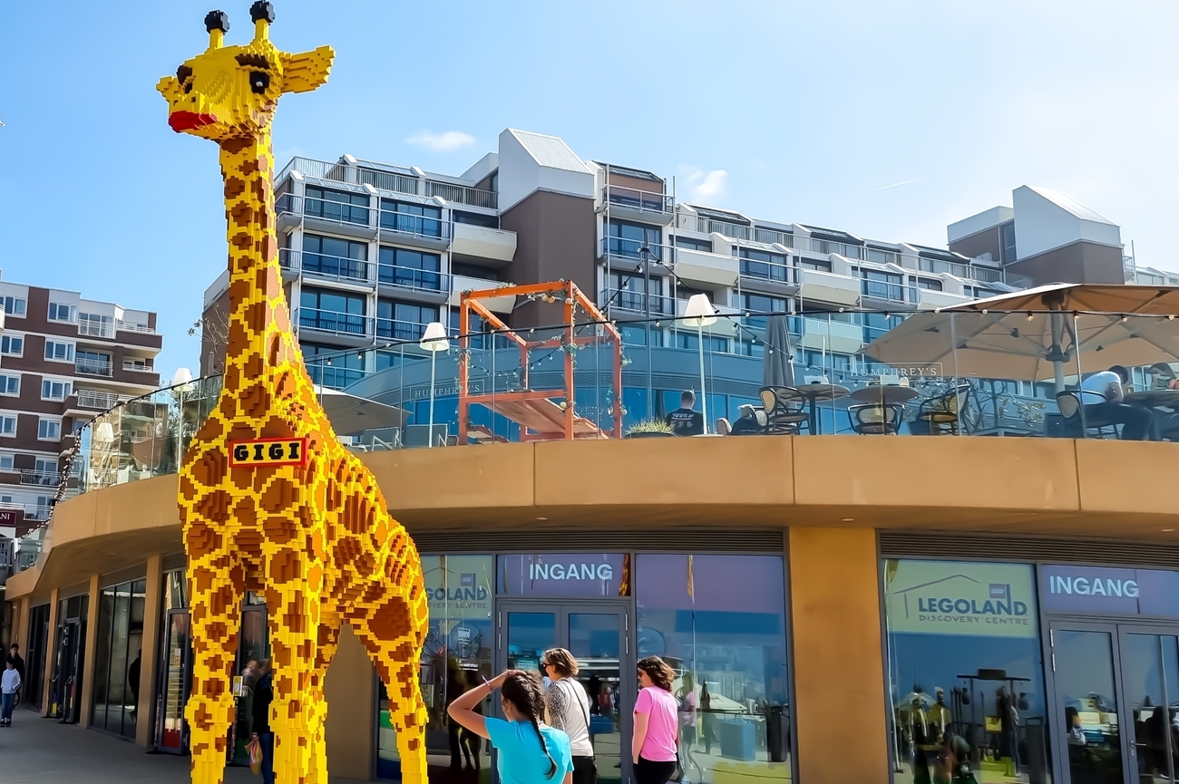
- LEGOLAND Discovery Centre Scheveningen: LEGOLAND Discovery Centre Scheveningen is an indoor LEGO attraction designed mainly for families with children between four and twelve. It includes millions of bricks, themed construction areas, interactive rides, a 4D cinema and play zones where children can build vehicles, test them on racing tracks and immediately blame the wheels when the design fails. MINILAND recreates The Hague and Scheveningen using LEGO models, while other sections include a NINJAGO training zone, building workshops and the Imagination Express ride. The attraction is fully indoors and air-conditioned, making it one of the safest backup plans when rain or strong coastal wind shuts down a beach afternoon. Adults must be accompanied by at least one child, making it clear that this attraction is designed primarily for younger visitors.
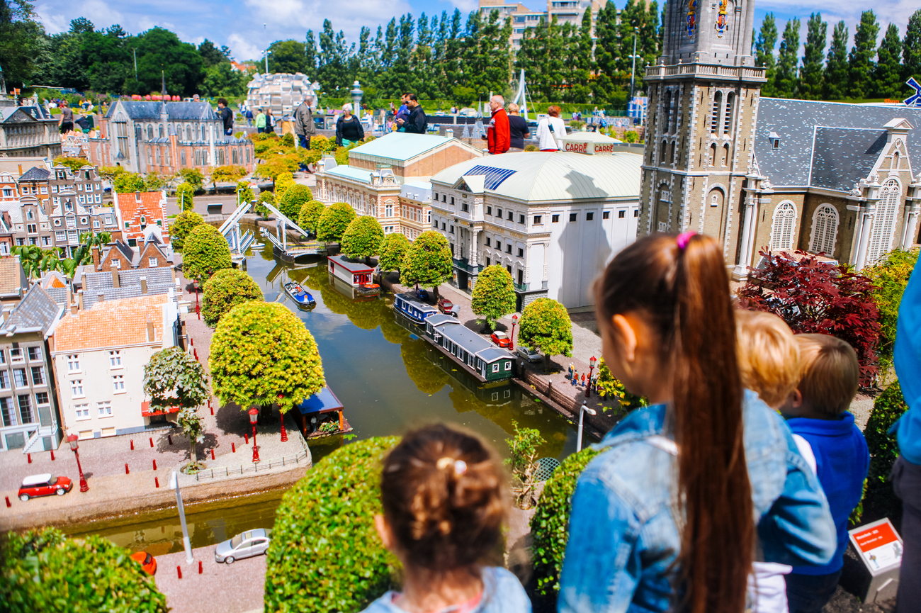
- Madurodam: Madurodam is an interactive miniature park in The Hague, a short transfer from Scheveningen. It recreates major Dutch landmarks, ports, canals, airports and engineering projects at a reduced scale, allowing children to see much of the Netherlands without another five-hour road trip. Moving trains, ships, aircraft and interactive systems keep the models from feeling like a display adults stare at while children quietly lose interest. Your children can manage miniature port traffic, generate wind energy, operate water systems and explore indoor attractions about Dutch history and engineering.
- De Helderse Vallei: De Helderse Vallei is a nature and environmental education center on the edge of the dunes in Den Helder. The site includes a visitor center, city farm, outdoor spaces and access to the wider Mariëndal recreation area. Admission to the main center is free, making it a useful stop when the family needs something relaxed after a more structured museum or fort visit. Your kids can meet farm animals, explore the surrounding nature area and take part in seasonal activities focused on wildlife, ponds and the dune environment. Programs such as Expedition Ditch allow them to use nets and simple field equipment to examine small aquatic animals and learn how pond food chains work.
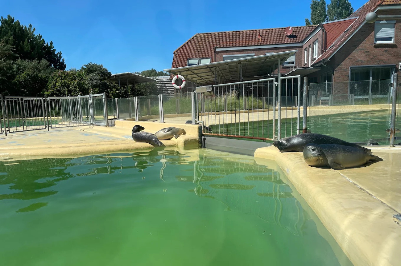
- Seehundstation Nationalpark-Haus: Seehundstation Nationalpark-Haus is a seal rescue and education center dedicated to the wildlife of the Lower Saxony Wadden Sea. Each year, the facility raises roughly 80 to 150 orphaned seal pups before preparing suitable animals for release. Your children can watch the seals in large pools while learning why young animals sometimes become separated from their mothers and why keeping your distance from seals on the beach is genuinely important. Scheduled feeding sessions are especially popular because staff explain the animals’ condition, development and care while the seals are fed.
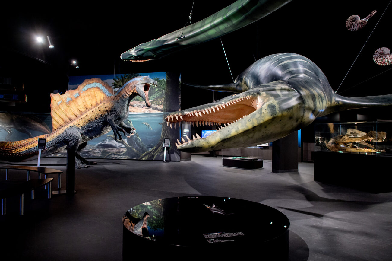
- Aquarium Wilhelmshaven incl. Prehistoric Sea Museum: Aquarium Wilhelmshaven sits directly beside the North Sea at Südstrand and combines a modern aquarium with exhibitions on prehistoric marine life. More than 300 animal species are represented across the complex, including sharks, rays, tropical fish, seals, reptiles and other animals from marine and rainforest environments. The Urzeitmeer Museum explores ancient oceans through fossils and large marine reptile displays. Its “Giants of the Seas” exhibition introduces prehistoric creatures that once lived in marine environments, connecting modern sharks and turtles with animals from millions of years ago. You can join themed guided tours focusing on subjects such as sharks, rays, tropical animals and fossils.
Day Trips from the North Sea Coast
The North Sea Coast works as more than a string of beaches and harbor towns. It also places you within easy reach of medieval cities, UNESCO World Heritage Sites, major art collections and some of northern Europe’s best urban architecture. The smart move is not adding distance for the sake of it. It is choosing a destination that gives the day a completely different rhythm.
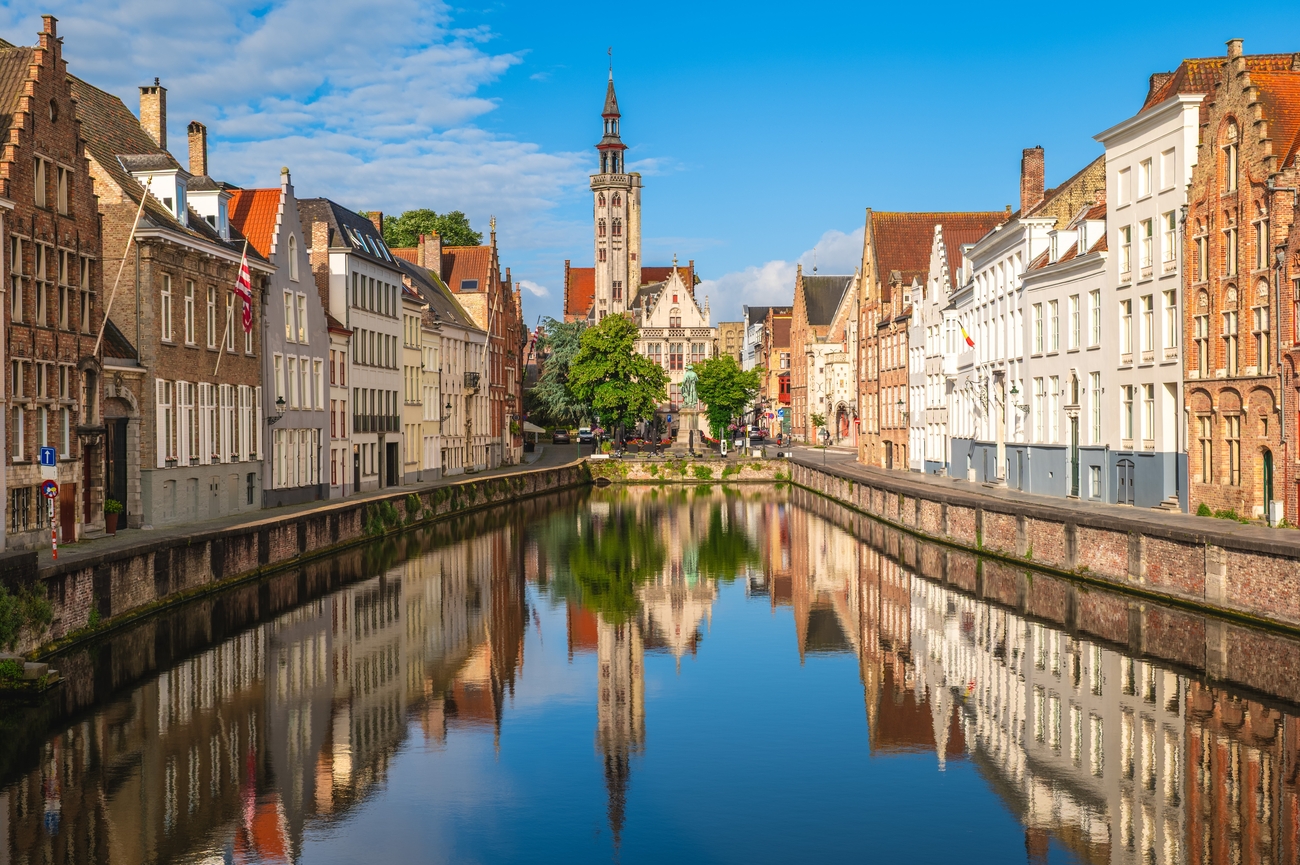
- Bruges, Belgium: Medieval streets, quiet canals and centuries-old civic buildings make Bruges the easiest cultural switch from the Belgian coast. Its historic center is a UNESCO World Heritage Site shaped by international trade, religious influence and the wealth of medieval merchants. From Ostend, the journey takes approximately 20-30 minutes. Begin at the Markt and Belfry, then continue to Burg Square and the Basilica of the Holy Blood. Visit the Groeningemuseum for Flemish Primitive paintings, and take a canal cruise to see gardens, facades and bridges from the water. You can also explore Bruges by horse-drawn carriage, Vespa or hot-air balloon.
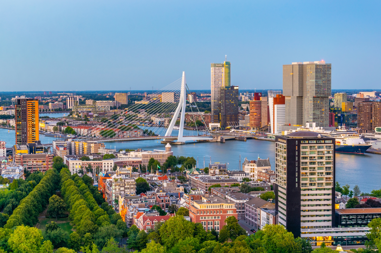
- Rotterdam, Netherlands: After several days of dunes, lighthouses and historic coastal towns, Rotterdam brings glass, steel and actual edge. Much of its center was reconstructed after World War II, resulting in experimental buildings, broad streets and a skyline that looks nothing like the traditional Dutch cities nearby. The Cube Houses make a sharp opening stop, with their tilted yellow structures overlooking the Old Harbor. From there, continue to Markthal for its oversized arched design and colorful interior before visiting the mirrored Depot Boijmans Van Beuningen. Hoek van Holland is approximately 30 minutes from central Rotterdam, so the city works as a straightforward coastal day trip. You can also arrange harbor program tours for a closer look at the city’s docks, infrastructure and urban redevelopment.
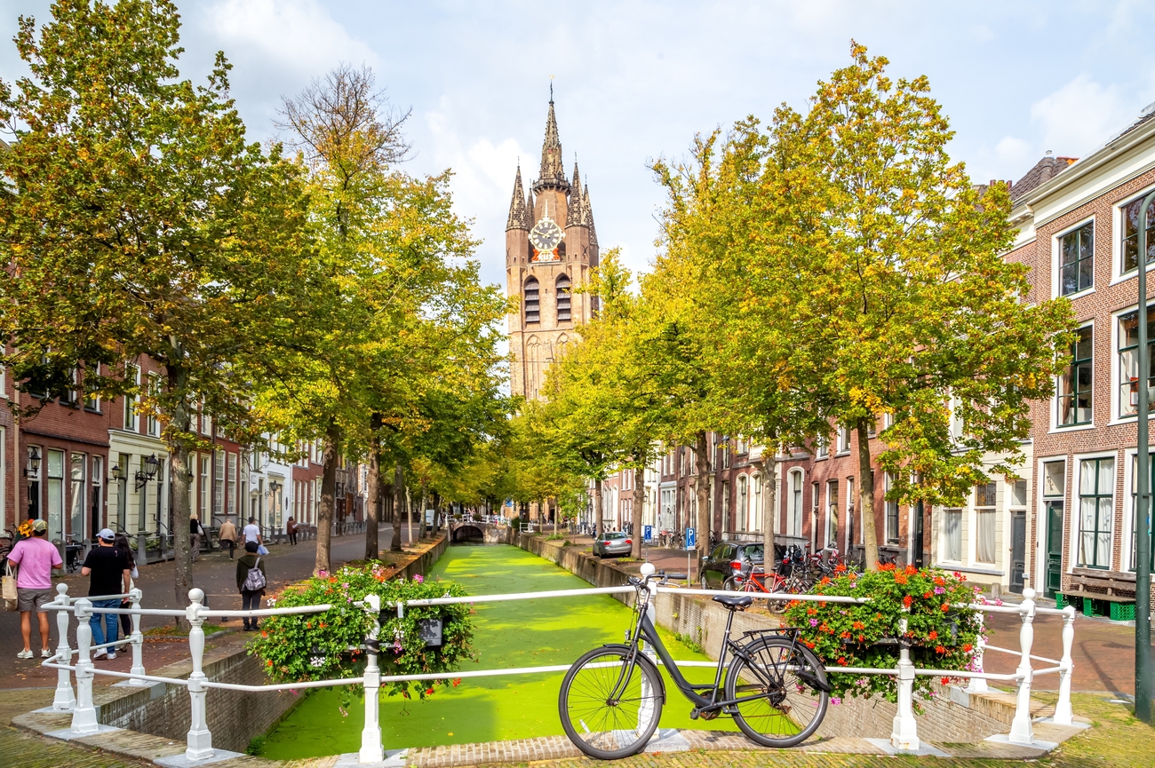
- Delft, Netherlands: Delft is around 25-35 minutes from Scheveningen or Kijkduin. The city is smaller than Rotterdam and The Hague, but its canals, brick facades and compact squares make it one of the easiest places to explore in a single day. The main sights cluster around Markt Square, where the Renaissance-style City Hall faces the Nieuwe Kerk. The church contains the royal burial vault of the House of Orange, while the Oude Kerk is known for its leaning tower and Vermeer’s tomb. You can also visit the Vermeer Center, follow the canals toward Oostpoort and see artisans working at Royal Delft, the only surviving Delftware factory established in the 17th century.
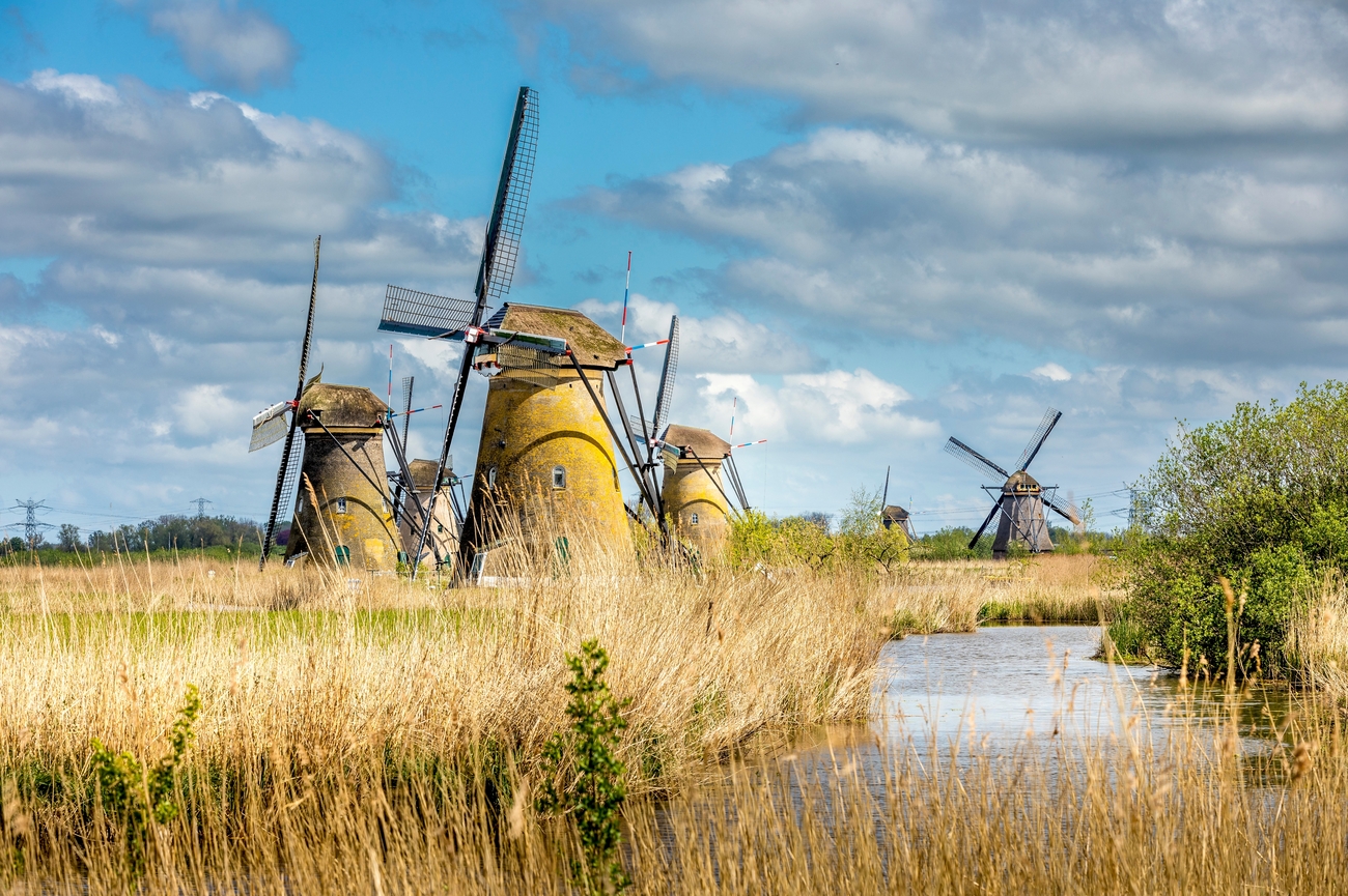
- Kinderdijk, Netherlands: Kinderdijk looks peaceful, but the landscape is built around serious engineering. Its UNESCO-listed network contains 19 historic windmills positioned beside waterways, dikes and low-lying polders. Together, they explain how Dutch communities managed water long before modern pumping stations took over. Inside the museum mills, you can see the compact rooms once occupied by millers and their families. Walking and cycling routes continue through the wider polder landscape, while boat services provide a clearer view of the full windmill line from the water. Travel time is approximately 50 minutes from Kijkduin and around one hour from Hoek van Holland.
- Amsterdam, Netherlands: Amsterdam works best when you choose one clear route instead of trying to collect every major attraction before sunset. Its 17th-century Canal Ring is a UNESCO World Heritage Site and remains one of Europe’s most significant examples of planned urban expansion. A strong first visit can begin at the Rijksmuseum or Van Gogh Museum before continuing through the Nine Streets and Jordaan. The canal belt ties these areas together through historic merchant houses, narrow bridges and smaller waterways. The city is approximately 35-45 minutes from IJmuiden. You can book a private canal cruise aboard a restored salon boat or premium electric vessel for a luxury experience.
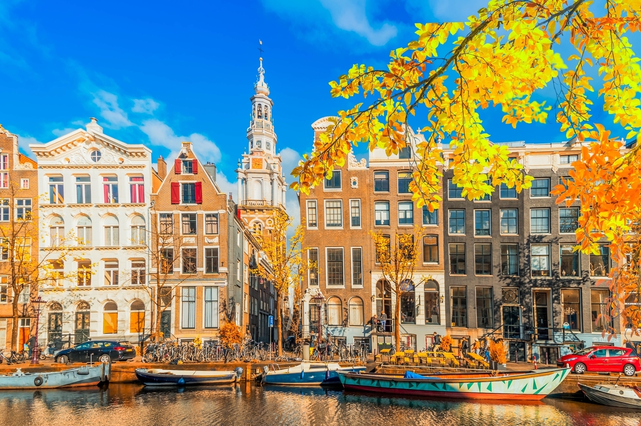
- Bremen, Germany: Bremen is approximately one hour and 10 minutes from Wilhelmshaven and its historic center reflects a long tradition of civic autonomy, highlighted by the Town Hall and Roland statue on the market square, which have been listed together as a UNESCO World Heritage Site since 2004. The main sights are clustered around Marktplatz, home to the Town Hall, Roland statue, cathedral and surrounding historic merchant buildings, with nearby highlights including Böttcherstraße, known for its distinctive early-20th-century brick architecture, Schnoor, the city’s oldest district with narrow lanes and small historic houses. You can join guided tours as you enter the Town Hall’s Upper Hall and Golden Chamber while explaining more than 600 years of civic history.

Golf Courses on the North Sea Coast
Golf along the North Sea Coast comes with dune fairways, sandy ground and enough wind to expose every questionable club choice. The courses below are located directly on, or immediately beside, the coastal belt.
- Royal Ostend Golf Club: Royal Ostend Golf Club is the clearest coastal golf experience in Belgium. The 18-hole course runs through protected dunes between Ostend and De Haan, with firm turf, deep bunkers and direct exposure to North Sea wind. The club describes it as Belgium’s only authentic links course and the sandy, fast-draining ground keeps it playable through much of the year. The club also maintains the surrounding dune habitat through limited irrigation and long-term ecological management.
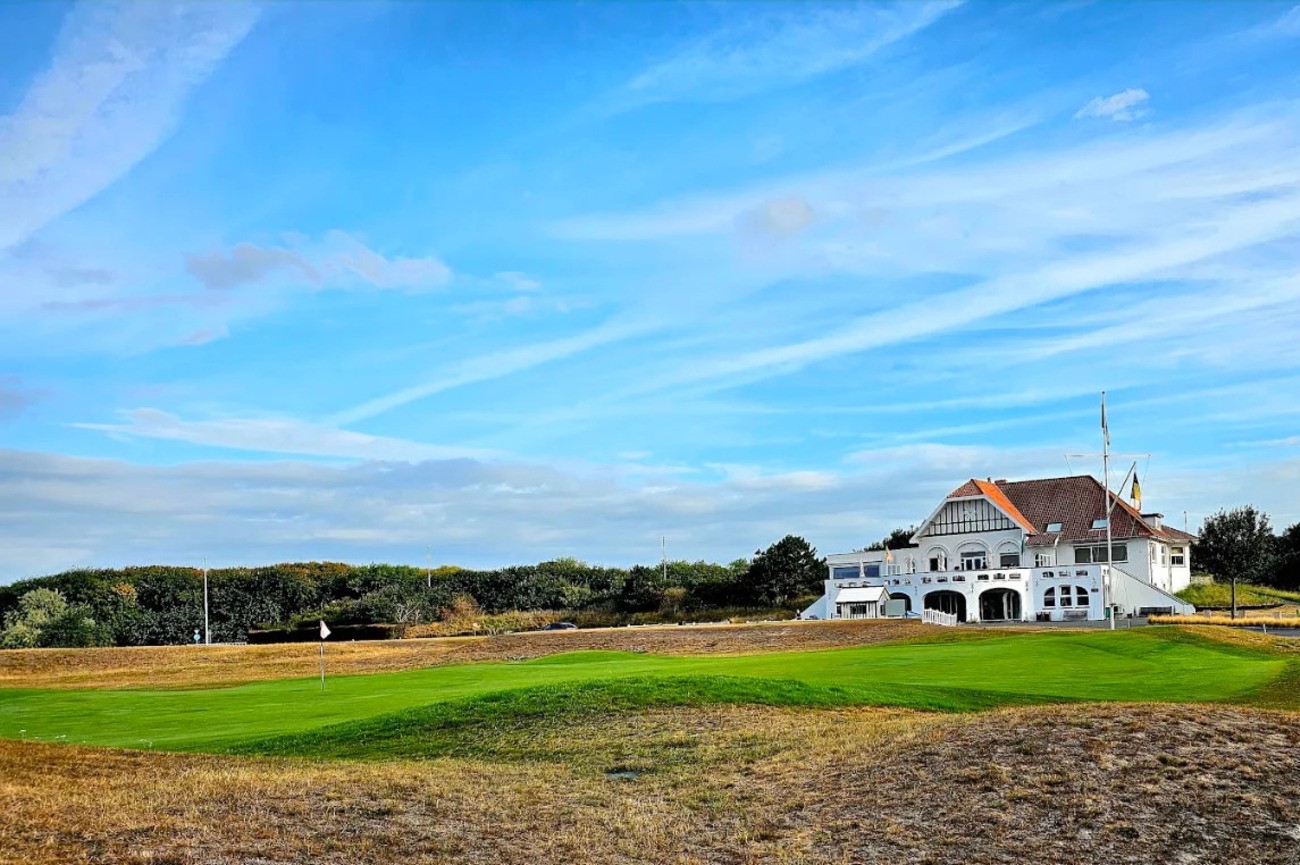
- Royal Zoute Golf Club: Royal Zoute Golf Club sits inside the upscale coastal district of Knokke-Heist, surrounded by dunes, pine trees, silver birch and hawthorn. The club has two 18-hole layouts: the par-72 Championship Course, known as "l’Extérieur" and the shorter par-64 Executive Course, known as "l’Intérieur." This is one of the most polished golf stops on the route. You can reserve a green fee, arrange professional instruction and use the driving range and short-game practice areas.
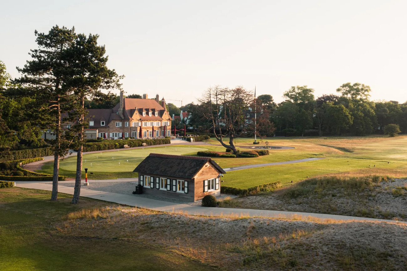
- Kennemer Golf & Country Club: Kennemer Golf & Country Club sits within the dunes behind Zandvoort and offers 27 holes divided among the Van Hengel, Pennink and Colt courses. The present course dates from 1928 and was developed around the design principles of renowned architect Harry Colt. It hosted major national and international events, including multiple editions of the Dutch Open. Different combinations of its three nine-hole loops create varied championship layouts, with natural dunes, strategic bunkering and firm surfaces rewarding thoughtful course management. The club also offers professional clinics and club fitting.
Michelin-Starred Restaurants on the North Sea Coast
The North Sea dining scene is strongest when chefs stop treating the coast as a backdrop and start using it as an ingredient list. These restaurants turn local fish, shellfish, seasonal vegetables and serious sauce work into meals that justify planning an evening around them. The luxury experience comes through tasting menus, chef-counter seating, sommelier pairings and sea-facing tables that let you enjoy dinner without immediately returning to the road.
- Cuines 33: Cuines 33 is the most immersive restaurant on this list and it has two Michelin stars. Located on Smedenstraat in central Knokke-Heist, it begins with drinks and small bites in a sand-toned lounge inspired by Japanese minimalism. You then move into the main dining room, where only sixteen seats face the kitchen counter. The setup lets you watch the chefs work at close range without turning dinner into a loud cooking show. Chef Edwin Menue serves one seasonal experience menu built around meat, fish and shellfish. His cooking is cosmopolitan but disciplined, using spices, fermentation and intense sauces to sharpen high-quality ingredients. The handmade ceramics, selected silverware and small dining room make the entire service feel personal rather than mass-produced. You see the preparation, plating and movement of the team throughout the meal and parts of the experience may take place in different areas of the restaurant.
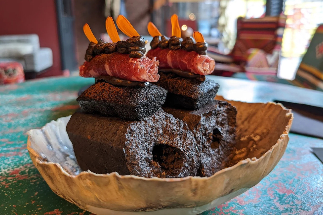
- HAUT occupies the entire 28th floor of SKY Tower One in central Ostend, making it Belgium’s highest restaurant. This one-Michelin-star restaurant has a dining room that is calm and contemporary, with panoramic windows overlooking the city, harbor, coastline and North Sea. Chef Dimitri Proost builds his cooking around seasonal ingredients and North Sea produce, adding controlled Japanese influences rather than forcing fusion into every plate. Combinations such as sea bass served with fish-bone dashi, briny shellfish and smoked-butter mousseline are the reason to visit this spot. North Sea crab and carefully prepared poultry also show how the kitchen prefers clear, recognizable flavors over dishes that need a presentation speech. You can choose between a six-course menu or à la carte choices.
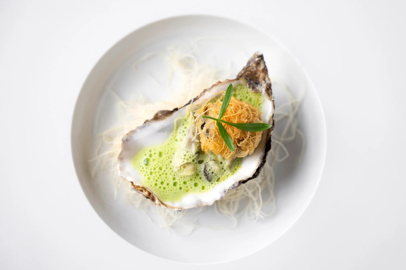
- Sel Gris: At Sel Gris, the North Sea is directly outside the window. This one-Michelin-star restaurant stands along the Duinbergen seawall in Knokke-Heist, facing the beach from a sleek dining room finished in soft gray tones and modern materials. The interior stays understated because the coastline is already doing plenty of work. Chef Frederik brings together butter-cooked sole, thinly sliced wagyu, foie gras, pheasant, lobster or caviar, often with gentle acidity and subtle Asian notes keeping the richer elements balanced. The ingredient remains obvious in every dish, which sounds basic until you realize how many restaurants somehow lose it under foam, smoke and unnecessary plot twists. You can order à la carte, choose the shorter lunch or commit to the restaurant’s "Essences and Flavors" menu.
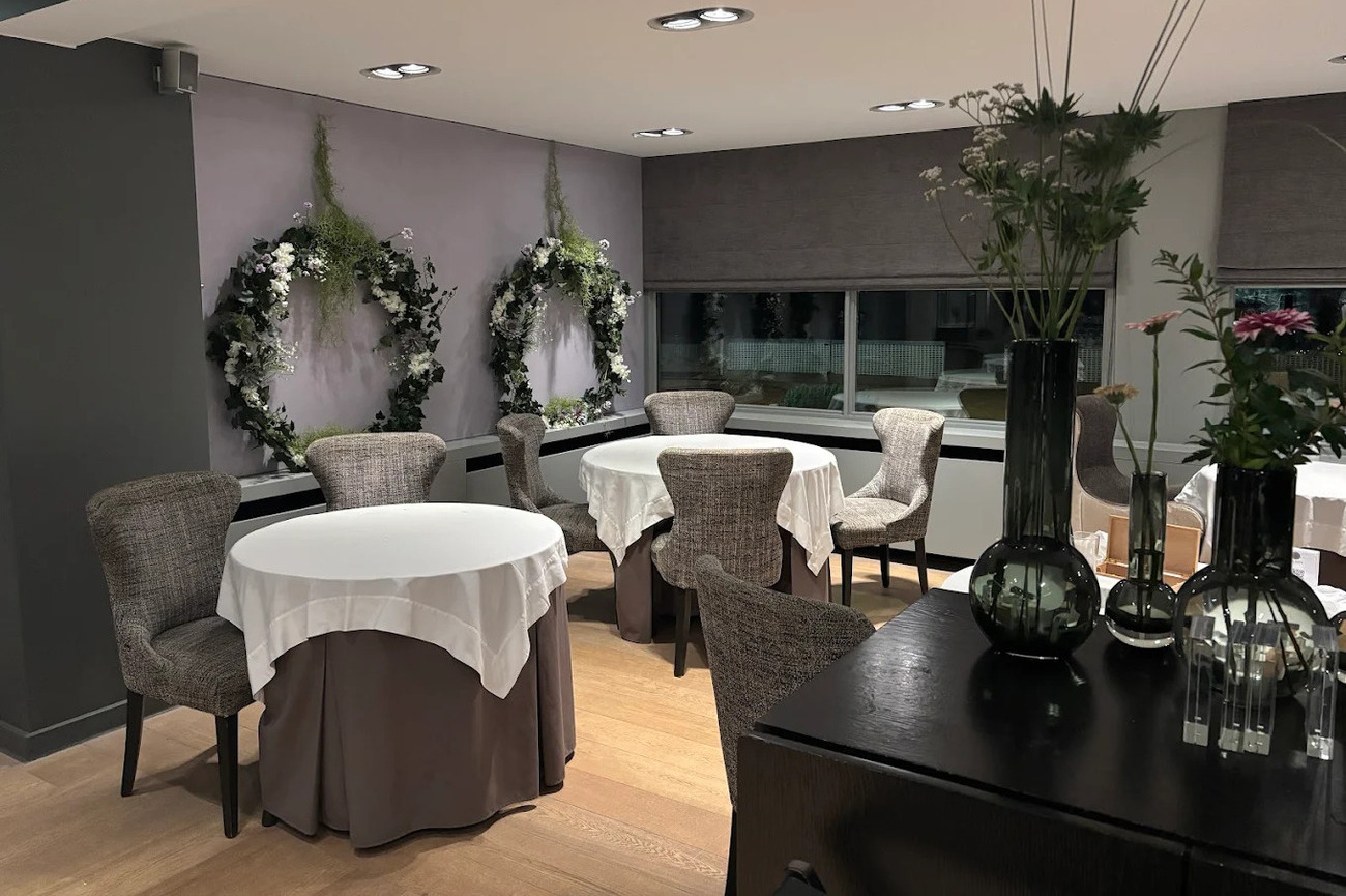
- Spetters: Spetters sits on the first floor of a building between the Breskens fish market and marina. Boats move through the Western Scheldt outside its windows, while the relaxed, lounge-like dining room keeps the atmosphere lighter than the usual white-tablecloth fine-dining setup. Chef Laurent Smallegange builds the menu around Zeeland’s strongest produce, including Eastern Scheldt lobster, North Sea crab, local fish, eel and lamb from the region around Sluis. This one-Michelin star restaurant is known for the chef’s combination of sweetbreads and Eastern Scheldt eel. Lunch offers shorter menus, while the longer dinner experiences let the kitchen show more of Zeeland’s seafood.
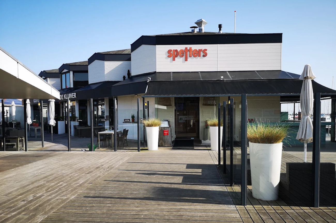
Where to Eat on the North Sea Coast
The North Sea Coast does not need every dinner to become a tasting-menu marathon. Some of its best tables are relaxed brasseries, intimate neighborhood restaurants and polished osterias where local seafood, handmade pasta and proper sauces carry the meal. These restaurants are those already inside cities and coastal towns.
- Eaust: Eaust gives Ostend’s eastern harbor district the kind of restaurant it actually needs. It's contemporary enough for the neighborhood, but not obsessed with turning every plate into abstract art. Alicia Brutein and chef Bram Coenen opened the restaurant after more than two decades at Plassendale, bringing that experience into a warmer dining room finished with soft natural colors and materials. The harbor and North Sea sit close by. The menu moves between Belgian comfort food and classic French cooking, with seafood taking the lead. It's known for house-made shrimp croquettes, while pan-fried sole is served with fresh fries and salad in the traditional coastal style.
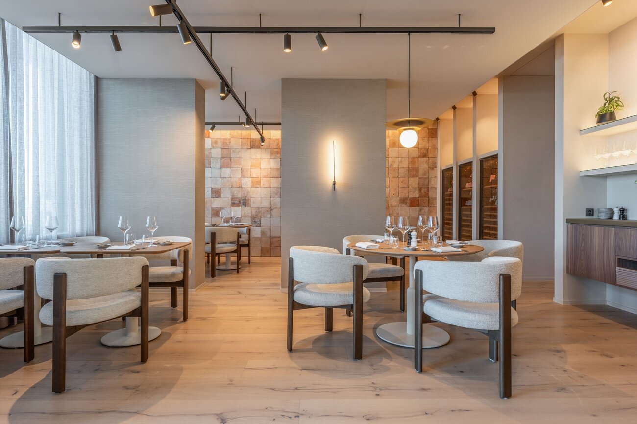
- La Rigue: Inside the five-star-superior La Réserve Resort, La Rigue operates on a larger and more polished scale. The restaurant faces Lake Zegemeer, with a broad terrace and an urbane dining room that suits both business lunches and dressed-up dinners. Chef Peter Goossens shaped the restaurant’s Franco-Belgian identity. The menu includes hand-peeled North Sea shrimp, Zeebrugge shrimp croquettes, sole, turbot brandade and Simmental beef. Caviar, langoustine carpaccio and classics such as bouchée à la reine give you enough range to keep the meal relaxed or push it fully upscale.
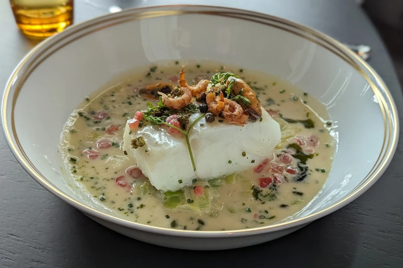
- Osteria La Fenice: Inside Osteria La Fenice, marble tables, wine displays and a decorative Vespa create a lively Italian dining room in central Cuxhaven. The tables sit fairly close together, which makes the room feel social and energetic rather than stiff. Fresh pasta is the restaurant’s main flex. The kitchen makes bigoli, fettuccine, pappardelle and filled ravioli each day using traditional recipes. The monthly changing menu follows seasonal produce, while the sourdough bread is also made in-house.
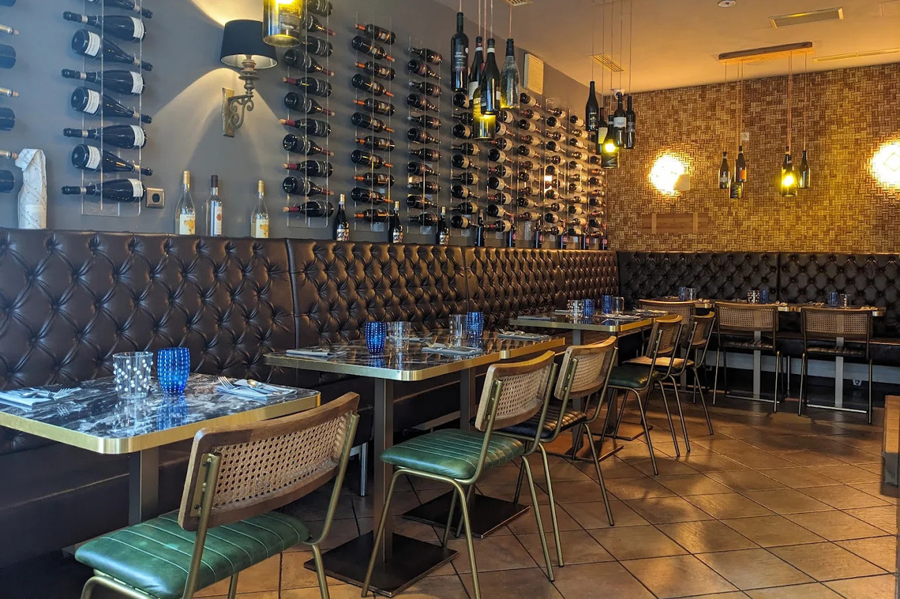
- Dell’arte: Dell’arte's Chef Robbert Dellaert transformed his childhood home, a characterful property dating from 1878, into an intimate restaurant in Cadzand-Dorp. Soft colors, large windows and views of the garden give the dining room the atmosphere of a carefully designed private home. The menu includes shrimp with tomato and basil, sea bass with peas and smoked eel, signature langoustine with dashi and miso and corn-fed chicken prepared as a refined vol-au-vent with sweetbread. You can choose between four or five courses during dinner, while the shorter three-course menu is available at lunch.
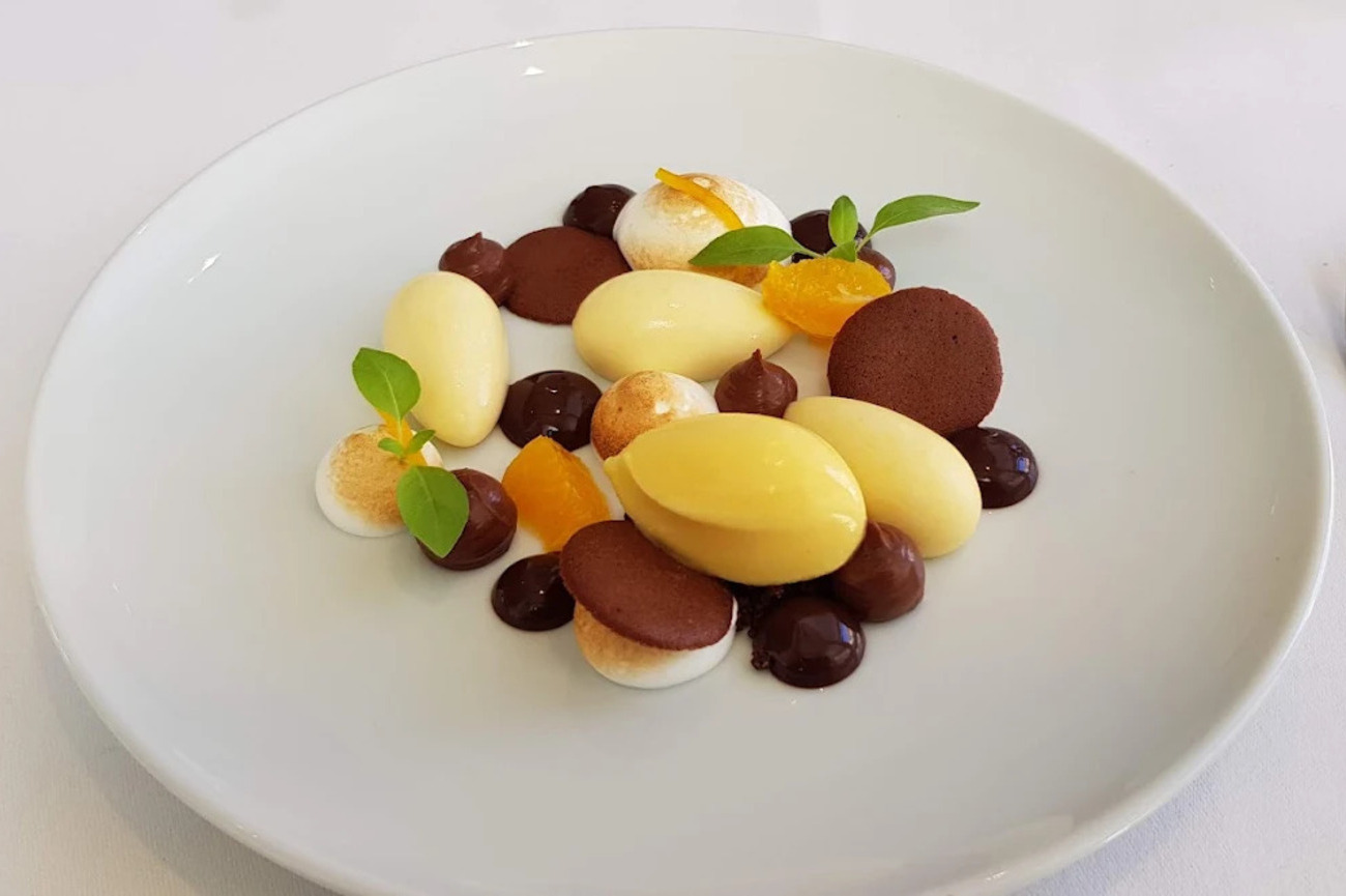
Where to Drink on the North Sea Coast
The North Sea Coast does nightlife differently. Some evenings call for champagne beside a casino, others for a serious cocktail in an antique room and sometimes the correct answer is a gin near the dike while everyone is still wearing beach shoes. The scene is more varied than a standard club crawl. These spots sit inside coastal cities already included in the route.
- Bubbles: Next to Casino Oostende, Bubbles brings a Roaring Twenties mood to the city’s seafront nightlife. The Art Deco-inspired room is plush without feeling like a themed set, creating an easy transition from an evening performance or casino visit into late-night drinks. Champagne is the obvious focus, but the selection also extends to wine, exclusive whisky and cognac. Because the bar sits beside the casino, you can turn the evening into a complete Ostend night without arranging another transfer.
- The Pharmacy: What began as a summer pop-up in 2013 became one of Knokke-Heist’s most recognizable cocktail concepts. The Pharmacy was created around fine spirits, personal service and drinks matched to the individual guest rather than a menu built only around familiar classics. Noa Van Ongevalle now works behind the bar, continuing the family’s reputation within Belgium’s cocktail scene. The antique-influenced interior gives the bar its speakeasy energy. The menu has included a Truffle Negroni, a whisky-based Smoking Buddha, a Green Apple cocktail with cucumber and more experimental combinations built around unusual botanical or savory elements. There are snacks too.
- Bar Bistro ’t Sand: Bar Bistro ’t Sand is more neighborhood favorite than velvet-rope venue. It occupies a spot on Kerkstraat in central Zandvoort, close to the beach and the town’s main shopping streets. The atmosphere is warm and social, with a heated terrace that allows the place to function beyond peak summer weather. Food is a major part of the night here. The kitchen serves French and international dishes made from fresh ingredients, with options ranging from carpaccio and king prawns to halibut with lobster sauce. You can also book high tea or high wine when you want something more structured than casual drinks.
- Barracuda Bar: Barracuda Bar is the easygoing Cuxhaven option: cocktails, snacks and more than 40 varieties of gin beside the dike in Döse. The setting feels close to the beach rather than cut off from it, so it works especially well after visiting Kugelbake, the Kurpark or the waterfront. The drinks list covers house-made cocktails, long drinks, wine and alcohol-free choices. Snacks include nachos, olives, cheese, cured meats and tapas-style plates.
- Basic Beach Bar De Branding: Directly on Renesse’s eastern beach, Basic Beach Bar De Branding is built around the simple idea that a beach club should still feel connected to the beach. The pavilion looks out over the North Sea, while its sheltered position helps reduce some of the stronger southwesterly wind. The terrace operates throughout the year. The menu stays rooted in Zeeland. North Sea fish, locally grown vegetables, seasonal herbs and regional shellfish appear across lunch, shared dining and dinner. The wine program also emphasizes producers using responsible growing methods, while cocktails and alcohol-free options keep the drinks side broader than a basic beach pavilion. You can request an outdoor table when weather allows and order one of the larger shared dishes with a bottle selected from the sustainable wine list.
Cafes on the North Sea Coast
Coffee breaks along the North Sea Coast are less about the beverage itself and more about the journey between destinations. Instead of quick stops between sights, they become moments where the landscape, architecture and pace of a place quietly take over the experience. The value lies in how you choose to experience them. Here you can enjoy a carefully prepared coffee that turns a simple pause into something more intentional.
- Expo & Kafie: Expo & Kafie blends breakfast, coffee and interior design in central Ostend, a few steps behind the seawall and close to Casino Kursaal and the James Ensor House. Karl and Vie designed the interior, while Robin and Tom run the food-and-drink side of the concept. The menu covers fresh breakfast dishes, brunch, homemade lunches, quality coffee and sweets. Wine, cocktails and changing specials give the café enough range to carry a slower afternoon, while the terrace works well when the weather behaves. You can pick up coffee before continuing through central Ostend.
- Het Kaslokaal: A former commercial greenhouse now houses Het Kaslokaal, a tea garden on the quieter side of Oostkapelle. On sunny days, most of the attention shifts outdoors to a secluded garden with playhouses, a large swing and enough room for families to spread out. And what arrives on the table follows the seasons. Cakes and lunches are made in-house, bread uses flour from Oostkapelle’s Korenmolen d’Arke, and coffee comes from Zeeland roaster De Zeeuwse Branding. Herbs, vegetables and other ingredients are sourced from the greenhouse, garden or surrounding area whenever possible. If you want the best experience here, you can get the seasonal high tea, available in standard and extended formats with unlimited coffee and tea, wraps, scones and homemade cakes.
- Tigershark Coffee: Scheveningen’s surf culture is usually associated with boards, wetsuits and wind forecasts, but Tigershark Coffee gives the neighborhood a proper specialty-coffee base. The café opened in 2018 on Badhuisstraat, set between local surf and skate businesses rather than directly on the tourist-heavy boulevard. It serves a rotating selection from respected Dutch roasters, with names such as Shokunin, Manhattan, Friedhats and White Label appearing in its lineup. Homemade pastries, granola, juice and sweet options give you enough fuel for a morning on the beach.
- SALZLUFT Lounge & Café: The rooftop of SALZLUFT’s container bar provides its defining view with beach, grass, dike and the broad Cuxhaven sky. Below it, seagrass, sand and high-quality outdoor furniture create a maritime lounge that feels put together without losing the casual beach atmosphere. It operates as both a cafe and a light bar. Coffee specialties range from espresso and cappuccino to iced coffee, while the wider drinks list includes Chandon, cocktails, alcohol-free cocktails, wine and local-style spritzers. And the food stays simple with seasonal cake, olives, aioli and cheese plates. You can also enjoy live performances and nearby events such as promenade festivals and Beach Arena tournaments.
Where to Stay on the North Sea Coast
- Hotel TwentySeven Amsterdam (5 Stars): Hotel TwentySeven takes over the upper floors of a historic building on Dam Square, directly overlooking the Royal Palace and National Monument. The all-suite property is known for interiors that go fully maximalist with French wallpaper, Italian fabrics, handmade silk carpets, patterned oak floors and contemporary art appear throughout the rooms. Each suite includes soundproof windows, natural-stone bathrooms, steam showers, climate and lighting controls, a wine cooler and a two-person whirlpool bath. Bar TwentySeven offers a darker, more intimate setting for cocktails and premium spirits. The hotel’s central position also puts the canal belt, Nine Streets and Jordaan within easy reach.
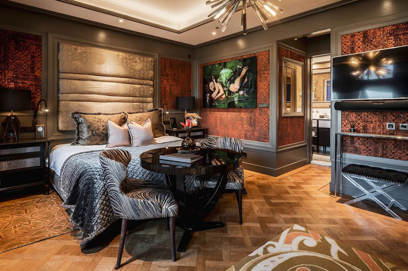
- Mondragon, Zierikzee (4 Stars): On Zierikzee’s Oude Haven, Mondragon feels tied to the city before you even enter. The historic property has been a recognized local name for more than a century and its Baroque-influenced architecture suits the old harbor, narrow streets and monumental buildings surrounding it. The hotel carries a four-star-superior classification. Design studio Studio Bink organized the rooms around four color schemes inspired by compass directions and changing daylight. Several suites also include private kitchen facilities, making them useful for longer stays. The hotel is at its best when you treat it as a base for the region rather than simply somewhere to sleep after dinner.
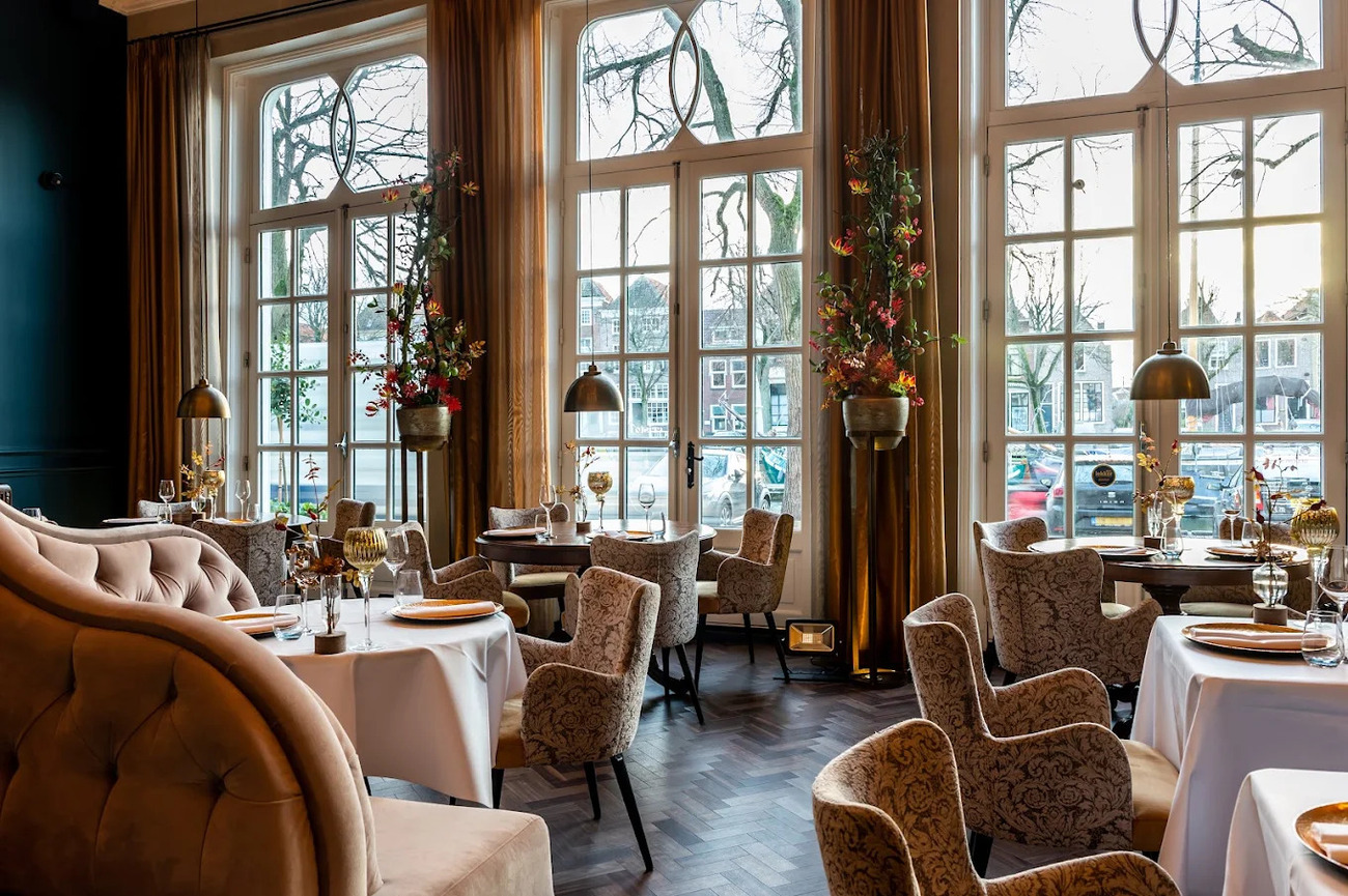
- De Plesman Hotel The Hague (4 Stars): Aviation history sets De Plesman apart from the beginning. The four-star hotel occupies the former headquarters of KLM, with the original brick-and-concrete exterior, revolving entrance and selected architectural elements retained from the building’s earlier life. Inside, former reception counters, engine-inspired ceiling details and aviation references have been worked into a warmer mid-century interior. Pieces from a collection of more than 500 works appear across the rooms, hallways and public spaces, including loans connected to Museum Beelden aan Zee. You can choose the 75-square-meter Plesman Suite, located in Albert Plesman’s former office and retaining original wood paneling alongside a kitchen island and separate living room.
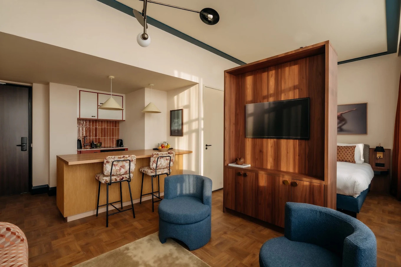
- Hotel Hafenspeicher (4 Stars): Hotel Hafenspeicher began as a warehouse in 1872 and the renovation kept enough of that history. Brickwork and the building’s original industrial scale meet contemporary rooms overlooking Leer’s leisure harbor. The hotel’s Classic, Superior and Deluxe rooms range from approximately 25 to more than 37 square meters. Harbor views are the standout feature, while breakfast, complimentary minibar items, a sauna and a Technogym fitness area add comfort.
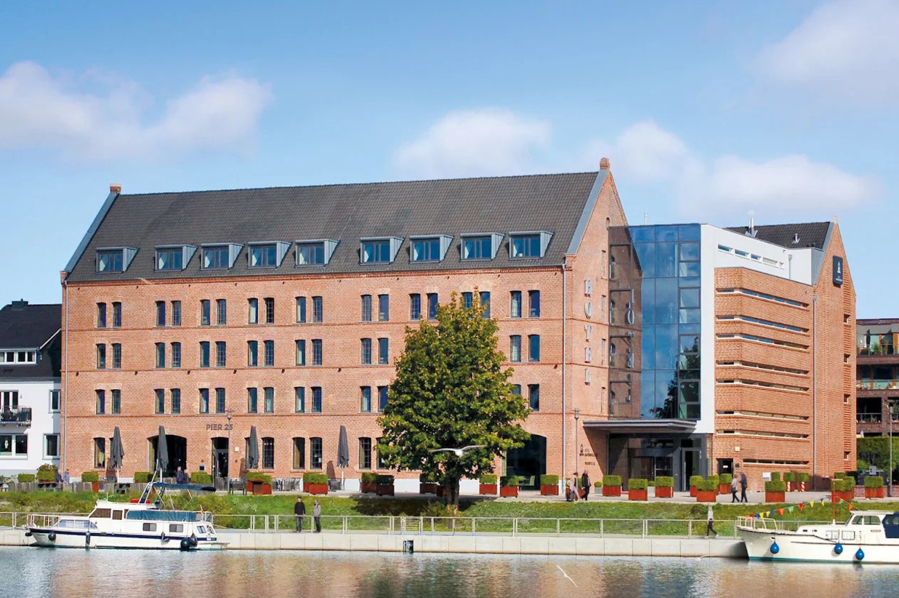
- Mr Jordaan Hotel (3 Stars): Mr. Jordaan proves that a three-star hotel can still own its location. It stands on Bloemgracht, one of the Jordaan’s quieter 17th-century canals, close to Prinsengracht, galleries, independent shops and neighborhood cafes. The building’s smaller scale and canal-house setting make the stay feel more residential than a large central hotel. Room options range from compact singles to larger doubles and triples, with selected categories facing the canal. Its roots reportedly go back to the 1960s.
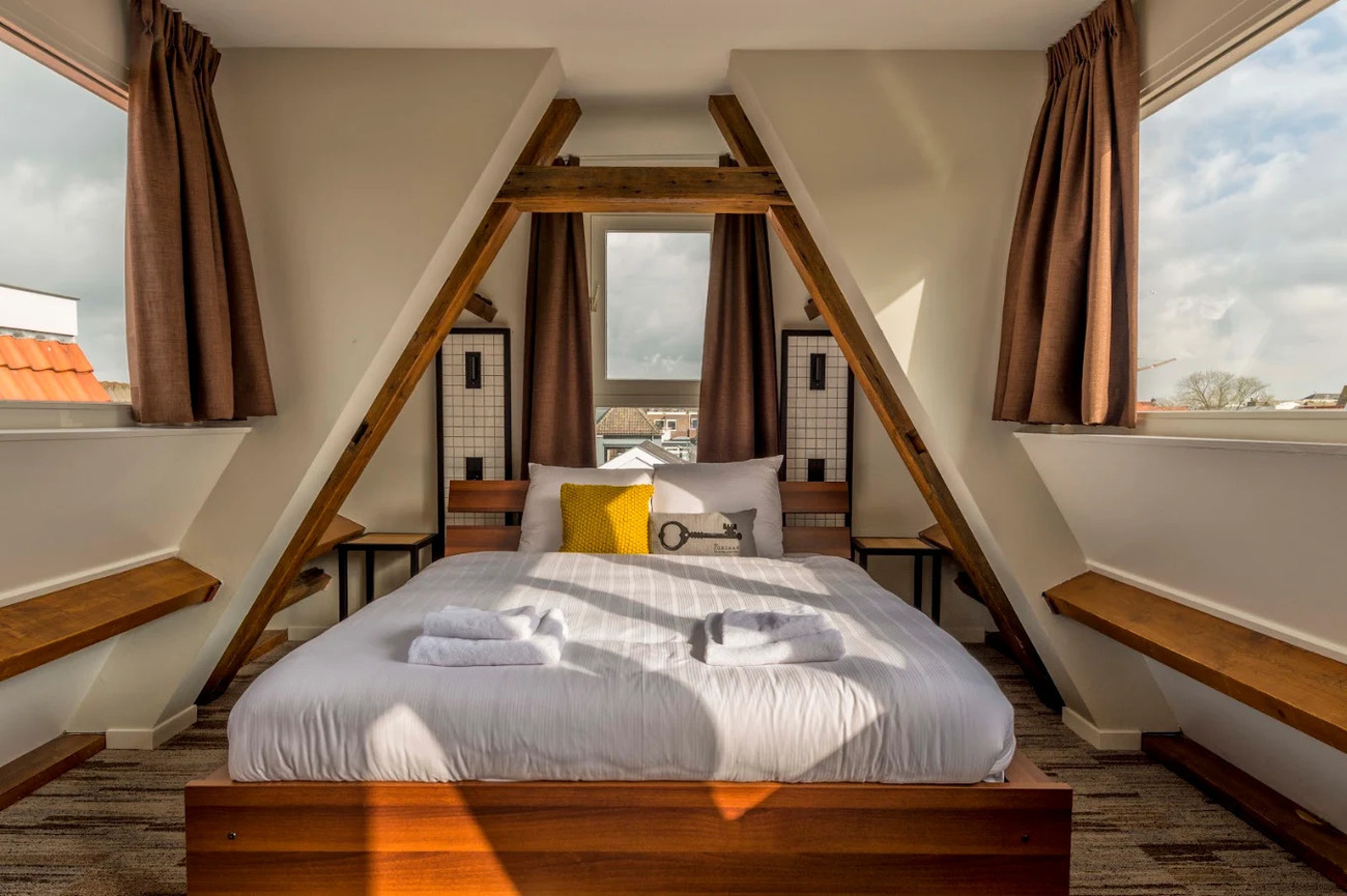
Best Time to Visit the North Sea Coast
If you’re hoping for a straightforward answer, it’s still June to September but that doesn’t really capture what this stretch of coastline feels like in summer.
The North Sea Coast doesn’t suddenly “come alive” in a dramatic way; it just becomes easier. Days stretch out, ferries and trams run on relaxed schedules and beach towns feel less like places you’re passing through and more like places you can actually linger in. It’s the season when you can follow a loose plan without constantly adjusting for weather or closures.
This is also when the coast is at its most forgiving. You can walk the dunes without checking the forecast every ten minutes, sit out on harbor terraces a little longer than planned, or end up staying on a beach just because the light refuses to fade.
That said, summer isn’t about ticking off attractions in a rush. It works best when you leave space in between like an unplanned stop in a small port, a detour for seafood you didn’t research or a quiet stretch of sand that wasn’t on your list. The well-known experiences are still there, but they feel better when they’re not stacked too tightly together. And if you’re moving between Belgium, the Netherlands and Germany, summer also makes logistics less of a puzzle. Connections are more reliable, coastal routes are fully open and you’re not constantly working around seasonal closures.
Summer is less a recommendation and more a convenience window. The coast doesn’t change its character, but it does become easier to experience without interruption.
Festivals in the North Sea Coast
- DEICHBRAND Festival: Near Cuxhaven, DEICHBRAND Festival transforms the Seeflughafen Cuxhaven/Nordholz area into one of northern Germany’s biggest music weekends. Usually held in July, the four-day festival combines rock, pop, hip-hop, alternative music and electronic performances across multiple stages. You can expect large camping areas, food zones, side activities and late-night programs that keep the grounds active long after the headline acts finish.
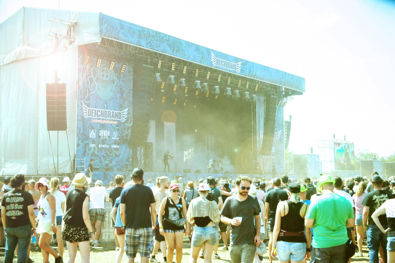
- North Sea Jazz Festival: Rotterdam’s North Sea Jazz Festival is one of Europe’s most respected music events, bringing together jazz, soul, funk, blues, R&B and international artists under one roof. The festival takes place every July at Rotterdam Ahoy, where multiple halls allow visitors to move between intimate performances and major headline shows without dealing with outdoor festival chaos. Rotterdam also runs North Sea Round Town around the same period, with concerts and events happening throughout the city before and during the main festival.

- Concert at SEA: Few festivals have a location as naturally built into the experience as Concert at SEA. Held every June on Brouwersdam, the event places stages directly beside Zeeland’s coastline, with the North Sea on one side and the Grevelingenmeer on the other. The lineup usually focuses on Dutch and international pop, rock and contemporary music, while the festival grounds include food areas, beach activities and entertainment beyond the main performances. You can take breaks between sets to walk along the water or simply enjoy the coastal view.
- Zugvogeltage celebrates something much quieter but equally impressive, the annual bird migration through the Wadden Sea. Held every October, the event takes place across Lower Saxony’s Wadden Sea National Park, including coastal areas near Norddeich, Wilhelmshaven, Cuxhaven and other communities along the German coast. You can enjoy hundreds of activities such as guided birdwatching walks, boat trips, photography sessions, lectures and family activities. Millions of migratory birds pass through this UNESCO-listed ecosystem each year, using the tidal flats as a crucial resting and feeding area.
- Ostend Beach Festival turns one of Belgium’s most recognizable seaside cities into an electronic music destination every July. The event takes place directly on Ostend’s beach. You can move from the festival grounds to the beach or explore the city instead of being completely isolated inside a festival site. You can also choose between regular tickets and VIP options with upgraded areas and additional comfort.


Let us know what you love, where you want to go, and we’ll design a one-of-a-kind adventure you’ll never forget.
Get in touch
Miriam
Travel Specialist

Romina
Travel Specialist

Laura
Travel Specialist
Our offices:



Revigorate, Iberian Escapes and Algarve Lifestyle are the registered brand names of APCS Lda . We are a fully authorised travel agency licensed by Turismo de Portugal RNAVT/6867.
In the event of a dispute, the consumer may refer to: RAL - Centros de Arbitragem
Avª. 5 de Outubro, nº. 55, R/C Dtº. 8000-075 Faro, Portugal | Tel: +351 289 823 135 *
* national landline call
E-mail: info@consumoalgarve.pt| www.consumidoronline.pt | Mon to Fri: 9:00 - 13:00 / 14:00 - 17:00